The TrakitALL Asset Locating and Logistics, the latest innovation to the Trakit suite of signalling, time and attendance solutions, is designed specifically for the ready-mix, asphalt and aggregate industry. The satellite-managed global asset locating system collects data from remote wireless devices attached to fixed and mobile assets to help users track, secure and better manage their production and hauling hardware assets. The module can be used as a stand-alone tool, or seamlessly integrated with the Tr
The 6222 TrakitALL Asset Locating and Logistics, the latest innovation to the Trakit suite of signalling, time and attendance solutions, is designed specifically for the ready-mix, asphalt and aggregate industry.
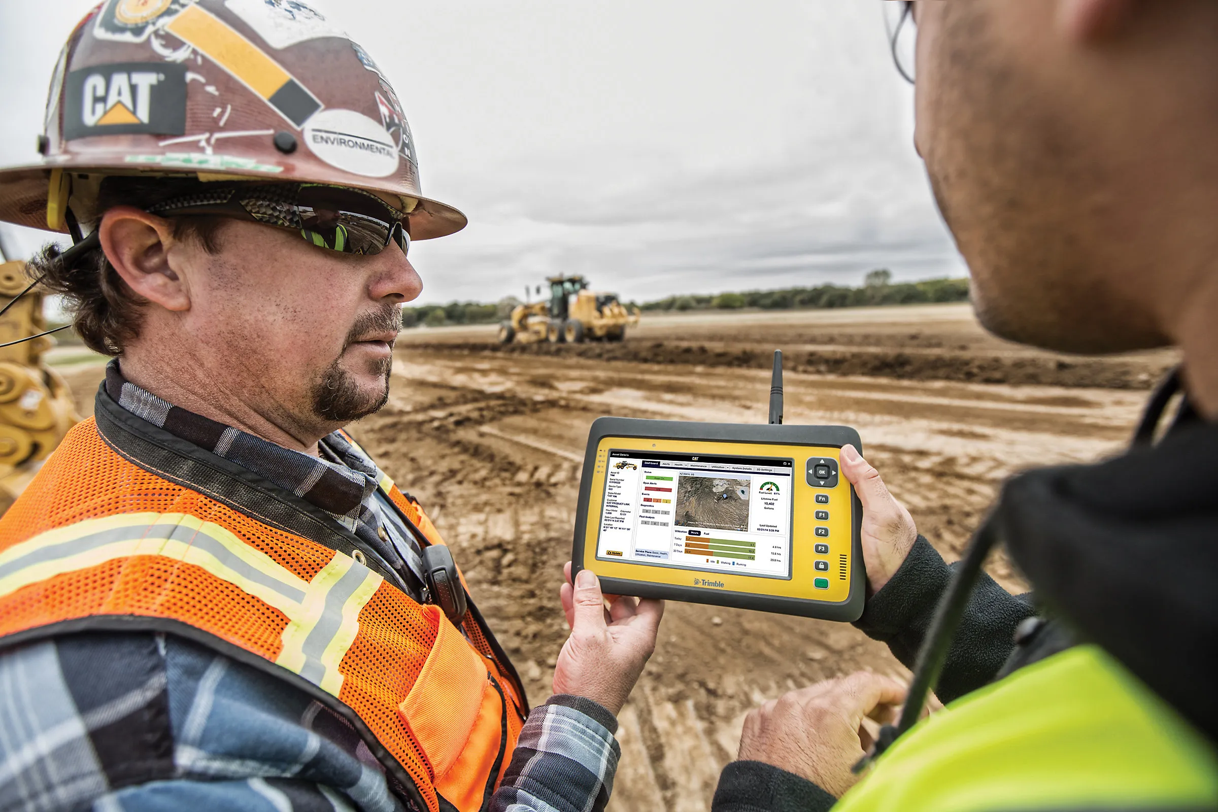
The satellite-managed global asset locating system collects data from remote wireless devices attached to fixed and mobile assets to help users track, secure and better manage their production and hauling hardware assets.
The module can be used as a stand-alone tool, or seamlessly integrated with the TrakitGPS fleet tracking system.
"TrakitALL allows operational personnel and asset managers to quickly locate available equipment in close proximity to a given address, hotspot, other vehicle or driver, or even other equipment. It is also able to search for equipment and vehicles by number, description or notes. This ability to quickly locate assets enables users to deliver enhanced customer service, maximise asset usage and reduce fuel costs," says Jon Wanlass, vice president, research & development. "The system will also help users reduce theft, speed recovery of assets that do go missing, and negotiate reduced insurance premiums as a result."
The TrakitALL system includes a remote wireless satellite transmitter with integrated GPS chipset, motion sensor and sensor inputs that is self-powered by two or four off-the-shelf AA batteries, with an expected battery life of four years or more.