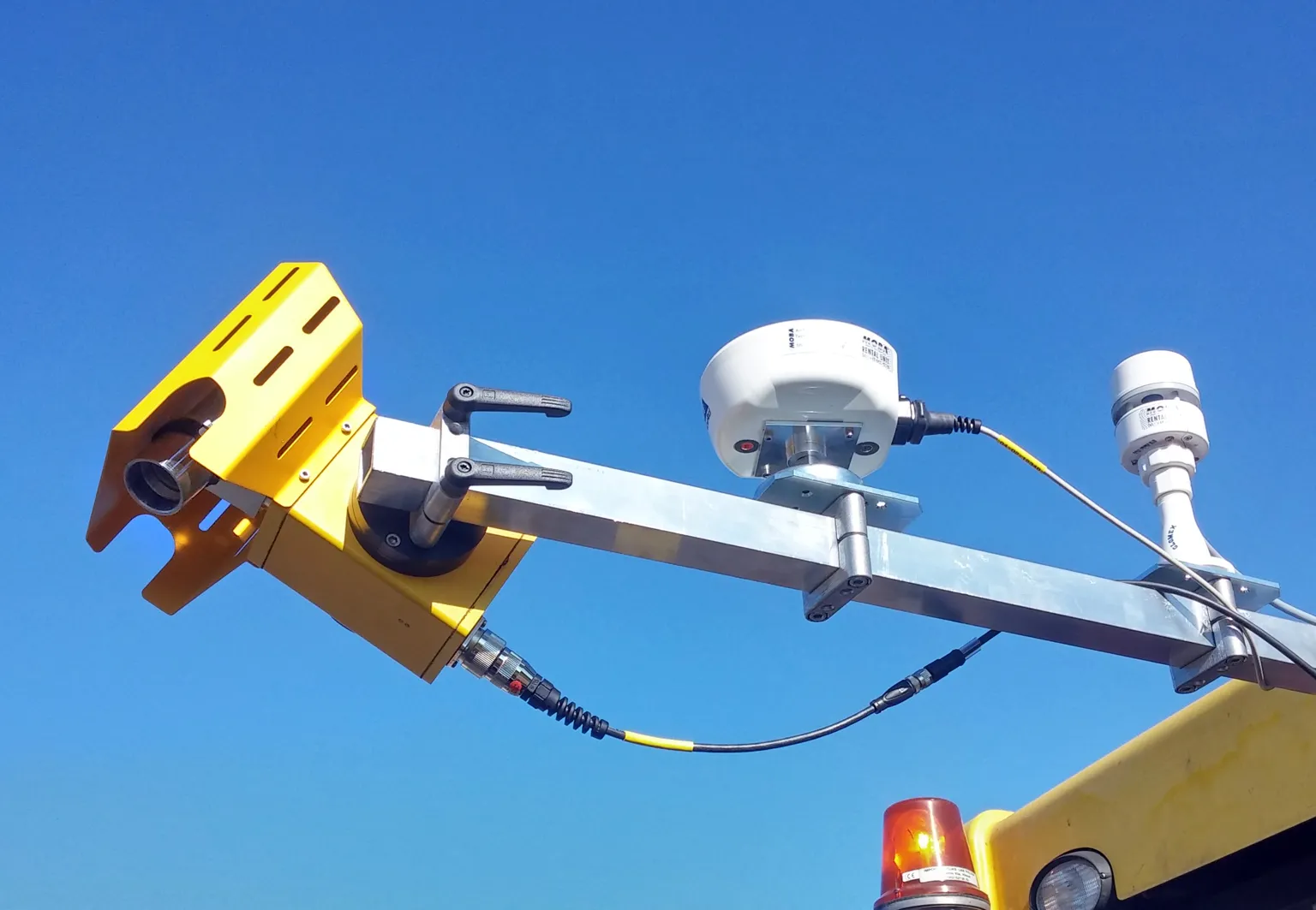
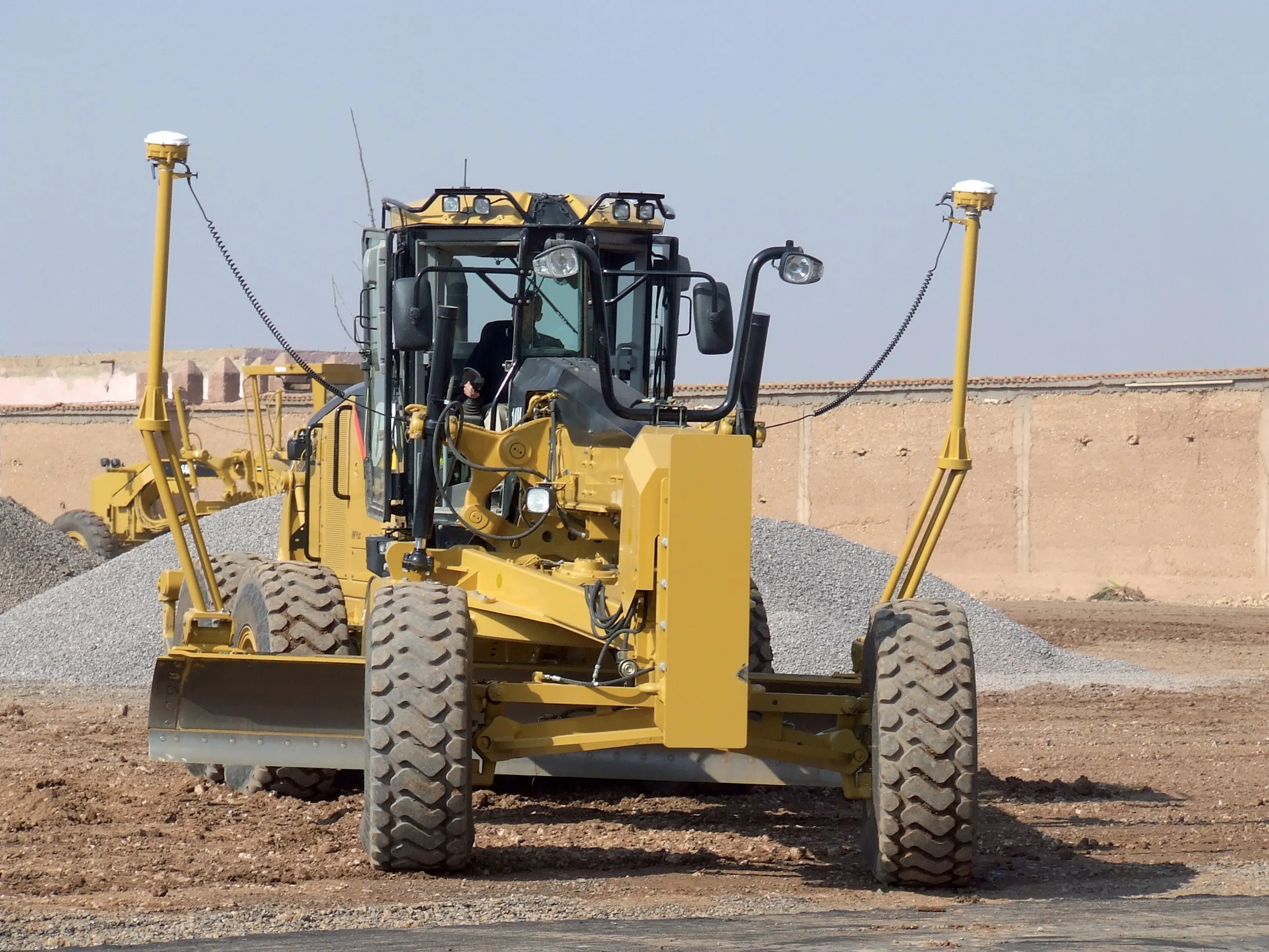
Navman Wireless says its Qtanium 300 is the world's first universal construction fleet tracking system that makes it possible to monitor usage and associated costs from one application. As part of the company's OnlineAVL2 fleet tracking platform, the system uses GPS technology and sensors attached to fleet vehicles' to display their real-time location on one screen as well as generate in-depth vehicle usage reports for analysis. Engine hours, maintenance status, idling time, equipment utilisation, and usag

As part of the company's OnlineAVL2 fleet tracking platform, the system uses GPS technology and sensors attached to fleet vehicles' to display their real-time location on one screen as well as generate in-depth vehicle usage reports for analysis.
Engine hours, maintenance status, idling time, equipment utilisation, and usage of machine attachments such as buckets, hammers and shears are among potential subjects for documentation by Qtanium 300.