Flashy WiM from HHB Batsch Dynaweigh

Total mass, axle load, vehicle type and license plate number are forwarded with a photo of the vehicle automatically in real time by means of the Weight Flasher.
By David Arminas November 29, 2022 Read time: 2 mins
Dynaweigh has added Weight Flasher to its HHB01 and HHB02WiM systems to speed up the flow of data (image courtesy HHB Batsch Dynaweigh)

Austrian manufacturer HHB Batsch Dynaweigh has improved the performance of its weigh-in-motion scales for vehicle weights.

Dynaweigh’s automatic road truck scales HHB01 and HHB02 for dynamic detection of overloaded vehicles have a legal verifiable accuracy of +/-1 per cent (class 2D), meeting the requirements of the OIML R134 regulations.

The scales have been installed at the traffic control station on the Austrian northern A5 for several years for traffic monitoring. But recently the company has added a high-speed processing system, called Weight Flasher, to speed up the flow of data for traffic speeds, including classification.

The total weight and axle loads are recorded automatically during the crossing at a speed up to 35kph. Like a radar system the collected data - total mass, axle load, vehicle type and license plate number – is forwarded with a photo of the vehicle automatically in real time by means of the Weight Flasher into data processing systems or to the controling authority.

Vehicles which are overloaded or have too high axle pressure are recorded. The collected data, vehicle type and license plate number are transmitted electronically to the nearest vehicle control centre or the vehicle is immediately diverted by overhead traffic signs/signals for closer examination by transport officials.


For more information on companies in this article

Related Content

  • Fehmarn Belt Tunnel opening set for mid-2029
    August 16, 2024
    Around 1,500 tonnes of reinforcement for casting the concrete tunnel elements are produced weekly for the 17.6km Fehmarn Belt Tunnel that will connect the Danish island of Lolland with the German island of Fehmarn.
  • Westcotec’s Heathrow road is an ITS winner
    November 25, 2024
    Westcotec provided accurate GDPR-compliant data for identification of both the offending driver and the time, date and location of the offence on the perimeter road of London’s Heathrow Airport.
  • Underground sight
    September 3, 2012
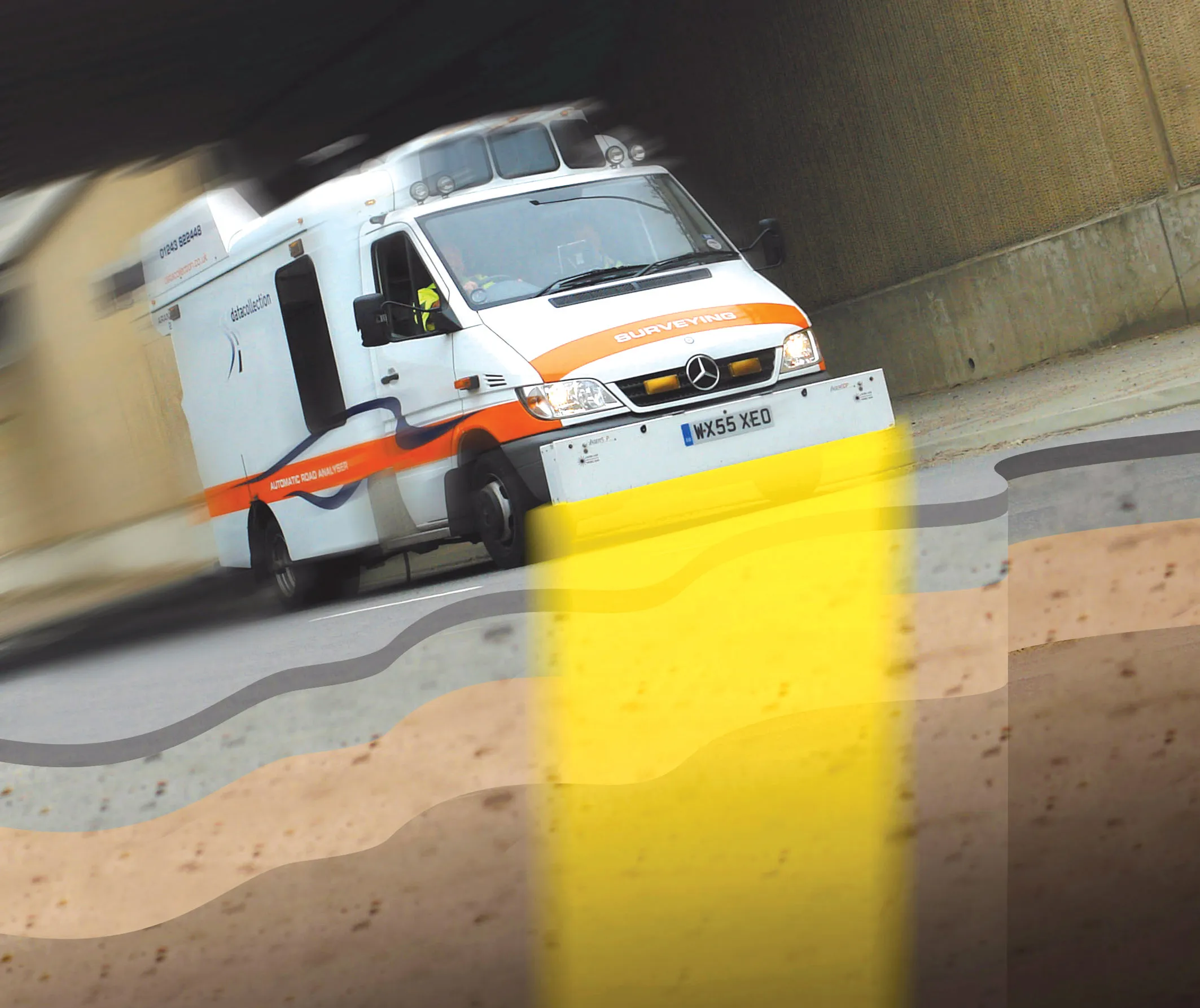
    Innovative mobile radar technology that can detect subsurface problems is now being launched by surveying specialist Data Collection Limited. The system uses a specially designed vehicle to carry out surveys at normal traffic speeds. Ground-penetrating radar is used to generate a cross-sectional profile of the subsurface. This information can be used to assess road condition, helping with planning repairs and re-surfacing.