Exodigo digs deep in Tel Aviv

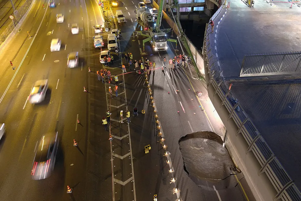
When a large sinkhole opened up on a busy highway in Tel Aviv, Israel, city transport authorities called in the underground mapping experts from Exodigo.
January 31, 2023 Read time: 2 mins
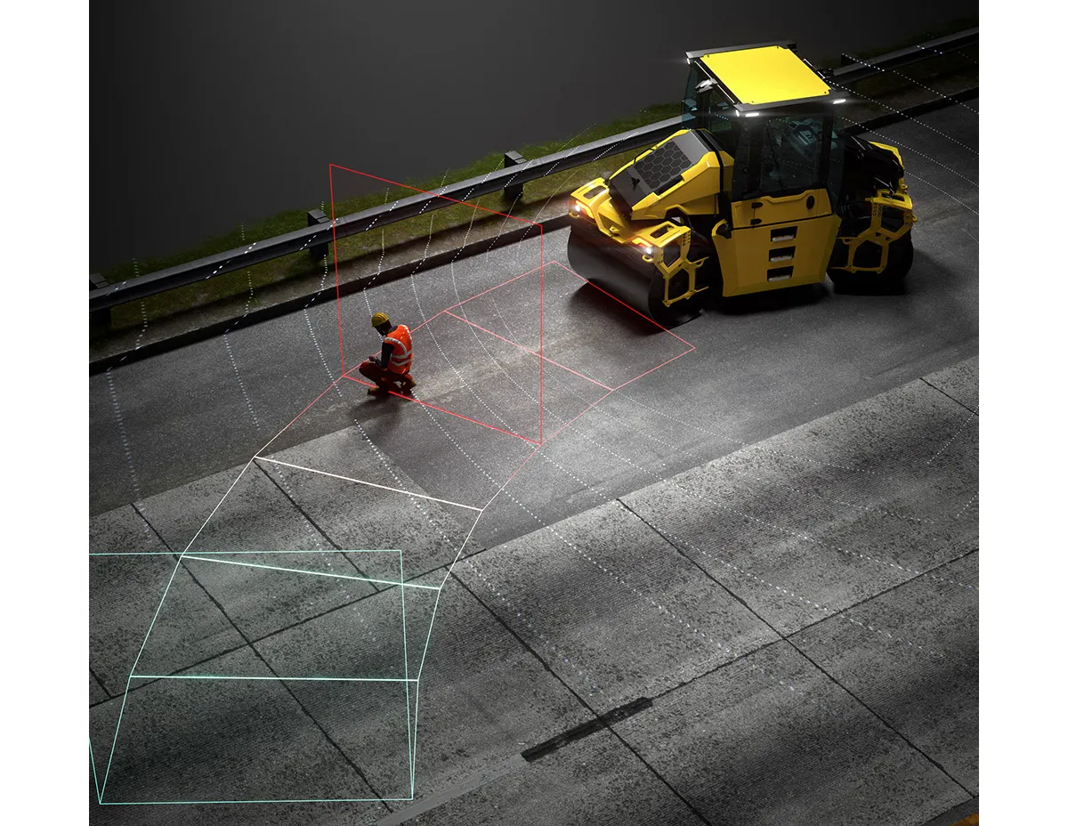
Exodigo uses sensors and cloud-based AI to produce accurate 3D maps of underground areas as deep as 10m (image courtesy Exodigo)

Exodigo’s AI/3D underground mapping tech assessed both current and future risks while the highway was shut down in that area. Exodigo's platform was used not only to assess what could safely open/resume operation, but to provide immediate corrective actions in areas suspected of being unstable to minimise the risk of sinkhole expansion.

The company says that its platform can detect any buried object, from man-made pipes and cables to soil layers, rocks, minerals, and even groundwater. It also works at any scale and terrain, from crowded urban environments to vast rural ones.

Using its advanced, non-intrusive underground mapping AI platform, Exodigo immediately scanned the area with multiple sensor types. The team quickly identified potential risks in surrounding areas on the highway and confirmed the integrity of the areas supporting train infrastructure through its multi-sensing AI platform.

Giving crews the ability to have an accurate, combined CT/MRI/X-ray scan of what is underground can help minimise risks in a wide range of both everyday construction/infrastructure activities and potentially fatal situations such as sinkholes.

According to Exodigo, no other technologies properly “see” underground. Meanwhile, the company’s technology rapidly creates digital, 3D geographic maps of the underground – utilities, pipes and cables, as well as details on soil layers, rocks, minerals and groundwater.

For more information on companies in this article

Related Content

  • Software alliance improves productivity
    June 12, 2012
    In the fast moving world of construction software, major innovations are happening on a continuous basis. All the leading players are making notable contributions to the sector. A new strategic alliance just announced between the management and data handling software giant Pitney Bowes, and design and construction software producer Autodesk, will help create an end to end range of products and tools for rapidly evolving BIM strategies in the industry. In particular in should help develop an integrated suite
  • A virtual virtuous circle
    March 19, 2021
    Virtual sensors will allow a safer driving experience and reduce road maintenance costs. Tactile Mobility’s Eitan Grosbard talks to David Arminas
  • Asecap Days – Istanbul 2023
    February 16, 2024
    The “vast lakes of data” collected daily by global highway operators are going to waste meaning opportunities to improve services and boost revenue are continually lost. This must change, reports Geoff Hadwick from the ASECAP Days 2023 conference in Istanbul.
  • A milestone in hazard reduction – BOMAG Emergency Brake Assist
    October 14, 2024
    Avoiding dangerous situations on the construction site: this is one of BOMAG's core principles when developing new components and technologies. Optimising the interaction between human and machine plays a key role here. This also applies to BOMAG's latest automated assistance system: Emergency Brake Assist, which was designed for use on the AP-5 generation of pivot-steered BOMAG tandem rollers.