Exodigo digs deep in Tel Aviv

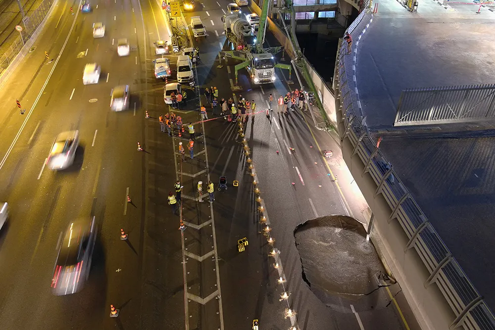
When a large sinkhole opened up on a busy highway in Tel Aviv, Israel, city transport authorities called in the underground mapping experts from Exodigo.
January 31, 2023 Read time: 2 mins
Exodigo uses sensors and cloud-based AI to produce accurate 3D maps of underground areas as deep as 10m (image courtesy Exodigo)

Exodigo’s AI/3D underground mapping tech assessed both current and future risks while the highway was shut down in that area. Exodigo's platform was used not only to assess what could safely open/resume operation, but to provide immediate corrective actions in areas suspected of being unstable to minimise the risk of sinkhole expansion.

The company says that its platform can detect any buried object, from man-made pipes and cables to soil layers, rocks, minerals, and even groundwater. It also works at any scale and terrain, from crowded urban environments to vast rural ones.

Using its advanced, non-intrusive underground mapping AI platform, Exodigo immediately scanned the area with multiple sensor types. The team quickly identified potential risks in surrounding areas on the highway and confirmed the integrity of the areas supporting train infrastructure through its multi-sensing AI platform.

Giving crews the ability to have an accurate, combined CT/MRI/X-ray scan of what is underground can help minimise risks in a wide range of both everyday construction/infrastructure activities and potentially fatal situations such as sinkholes.

According to Exodigo, no other technologies properly “see” underground. Meanwhile, the company’s technology rapidly creates digital, 3D geographic maps of the underground – utilities, pipes and cables, as well as details on soil layers, rocks, minerals and groundwater.

For more information on companies in this article

Related Content

  • Developments in bridge monitoring technology
    July 9, 2012
    Advances in bridge monitoring technology should help ensure structural safety Highly productive, Fugro Aperio's ground penetrating radar system offers accurate scanning of bridge condition Bridge engineers can now benefit from a new technology designed to pinpoint shallow targets, such as masonry fixings, reinforcement bars or delamination between thin layers. This uses the latest high resolution ground penetrating radar (GPR) antenna and has been developed by Cambridge-based Fugro Aperio in the UK. Operati
  • Streetlight control with Urban Node 324
    April 25, 2022
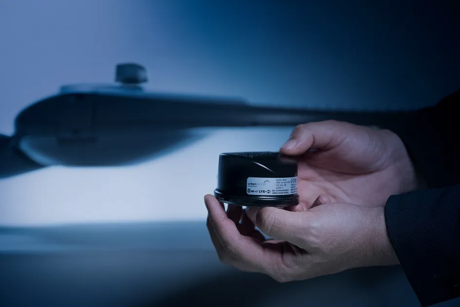
    Each Urban Node 324 Cellular city streetlight LED luminaire controller includes the Nordic Semiconductor nRF9160 multi-mode NB-IoT/LTE-M System-in-Package (SiP) and plugs into an industry-standard Zhaga LED lighting socket.
  • Pay attention to The Ray, urges WheelRight’s John Catling
    July 17, 2017
    Development of the connected and sustainable highways is moving quickly in the US and the Far East but progress in Europe is much less impressive. One example of a connected highway that offers an interesting model for European transport planners and policymakers is The Ray, a 29km stretch of Interstate 85 in the state of Georgia. Originally established by a charitable foundation, The Ray offers an inspiring vision of a sustainable highway, even for the near future. Drivers crossing the state line from Ala
  • Foth Uses Collaborative Digital Engineering to Deliver Road Infrastructure Project
    June 1, 2020
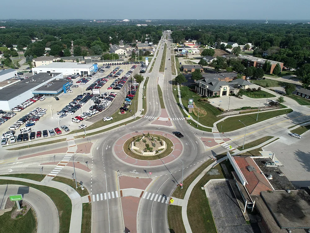
    Foth utilised software from Bentley Systems to improve safety and traffic flow on an urban road stretch in Iowa.