Exodigo digs deep in Tel Aviv

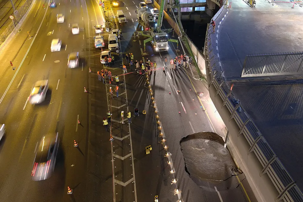
When a large sinkhole opened up on a busy highway in Tel Aviv, Israel, city transport authorities called in the underground mapping experts from Exodigo.
January 31, 2023 Read time: 2 mins
Exodigo uses sensors and cloud-based AI to produce accurate 3D maps of underground areas as deep as 10m (image courtesy Exodigo)

Exodigo’s AI/3D underground mapping tech assessed both current and future risks while the highway was shut down in that area. Exodigo's platform was used not only to assess what could safely open/resume operation, but to provide immediate corrective actions in areas suspected of being unstable to minimise the risk of sinkhole expansion.

The company says that its platform can detect any buried object, from man-made pipes and cables to soil layers, rocks, minerals, and even groundwater. It also works at any scale and terrain, from crowded urban environments to vast rural ones.

Using its advanced, non-intrusive underground mapping AI platform, Exodigo immediately scanned the area with multiple sensor types. The team quickly identified potential risks in surrounding areas on the highway and confirmed the integrity of the areas supporting train infrastructure through its multi-sensing AI platform.

Giving crews the ability to have an accurate, combined CT/MRI/X-ray scan of what is underground can help minimise risks in a wide range of both everyday construction/infrastructure activities and potentially fatal situations such as sinkholes.

According to Exodigo, no other technologies properly “see” underground. Meanwhile, the company’s technology rapidly creates digital, 3D geographic maps of the underground – utilities, pipes and cables, as well as details on soil layers, rocks, minerals and groundwater.

For more information on companies in this article

Related Content

  • Free modeling: Improving efficiency in construction- site management
    July 24, 2025
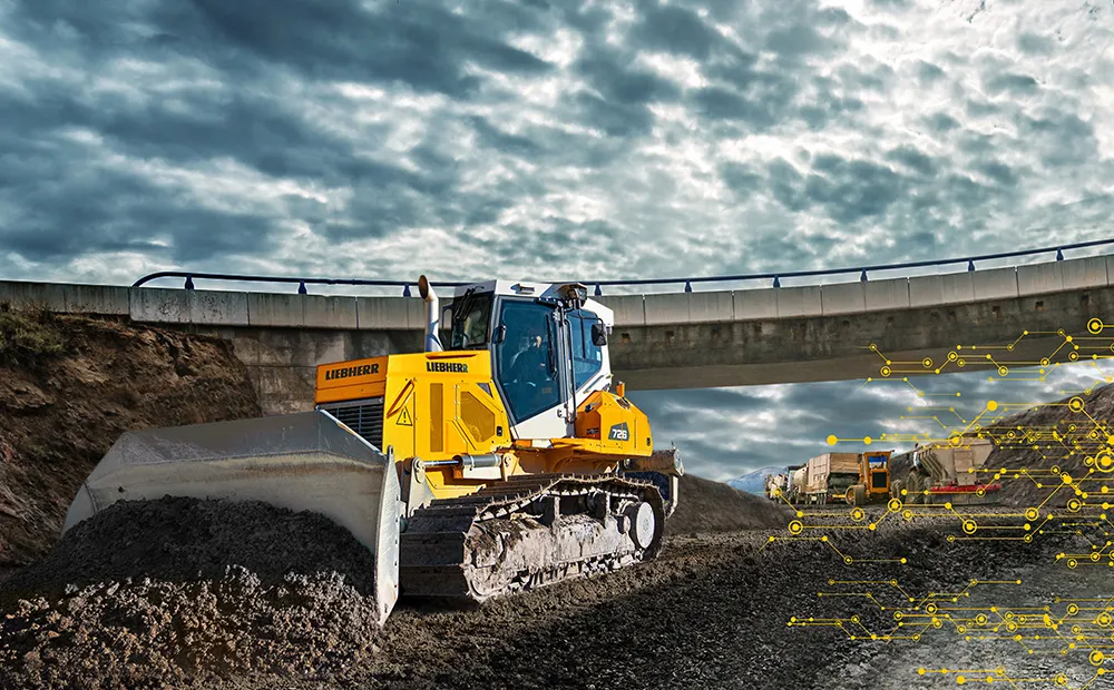
    Liebherr’s innovative Free Modeling technology enables road-construction operators to create and modify simple 3D site models directly from their machinery, enhancing real-time decision-making.
  • Accurate data capture with Hexagon
    January 2, 2022
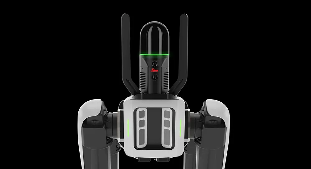
    Hexagon is introducing the Leica BLK ARC and the Leica BLK2FLY tools, which offer speed, portability and mobility for autonomous mobile reality capture.
  • Weigh in motion technology reduces road damage
    February 8, 2012
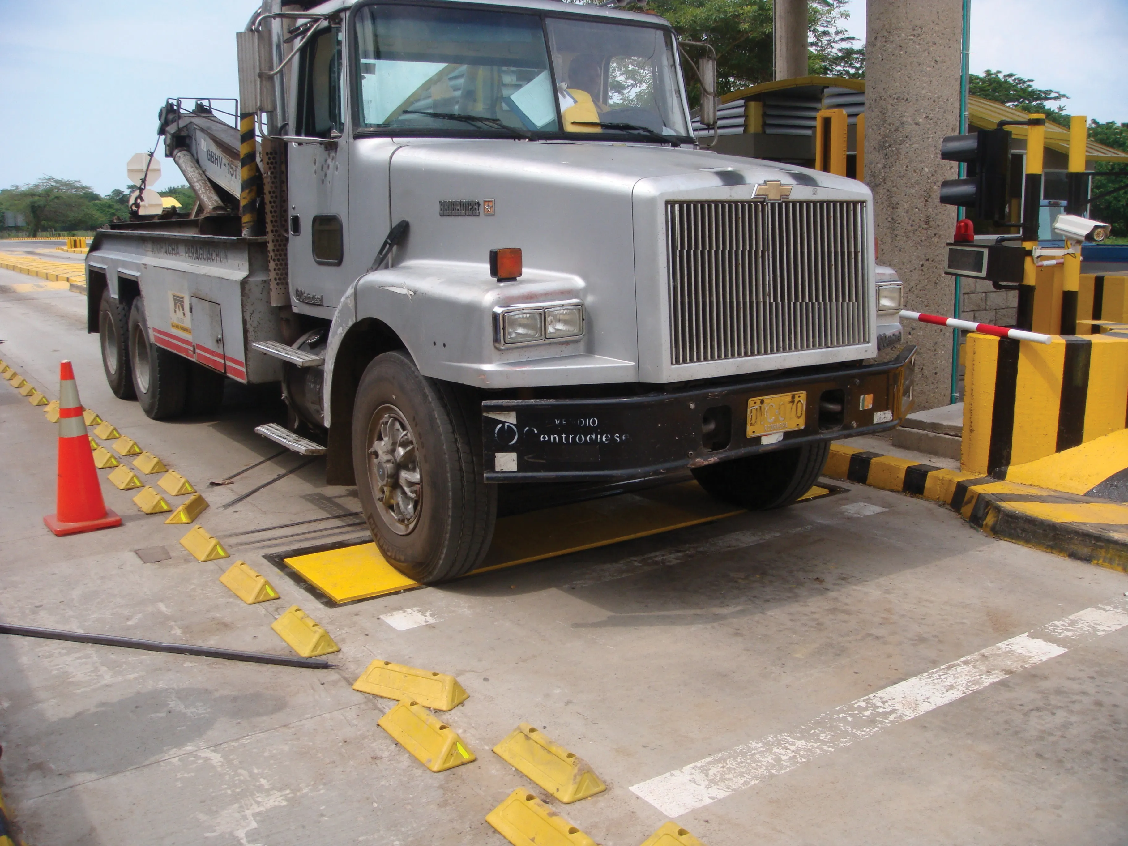
    Overweight vehicles cause enormous damage to road structures but they can be caught, even at high speed. Weigh-in-motion or WIM devices are designed to capture and record axle weights and gross vehicle weights as vehicles drive over a measurement site.
  • Automatic control
    February 7, 2012
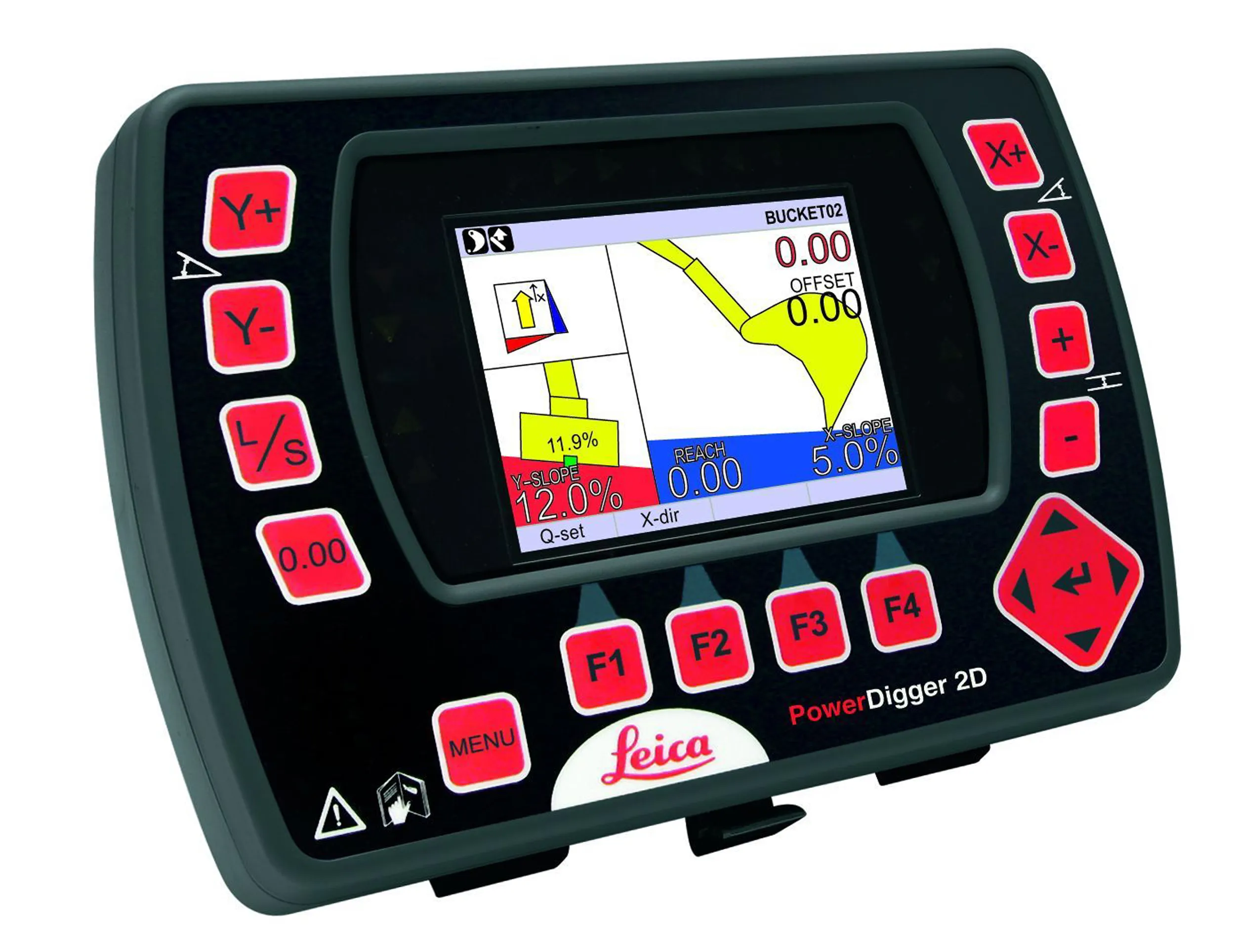
    Leica Geosystems says that sophisticated PowerDigger 2D guidance system for excavators offers automatic slope control. The system expands on its PowerSnap technology and is said to make excavating easier and more productive. The system uses a standard panel whether fitted to a dozer, excavator or grader, which is also said to save money on training and equipment, as well as reducing down time. Leica PowerDigger 2D system allows multiple elevations and slopes to be constructed at any orientation, witho