Esri and Heliguy to cooperate

Esri UK has signed a partnership with drone developer Heliguy as part of its strategy to offer all elements of a drone service.
February 15, 2021 Read time: 2 mins
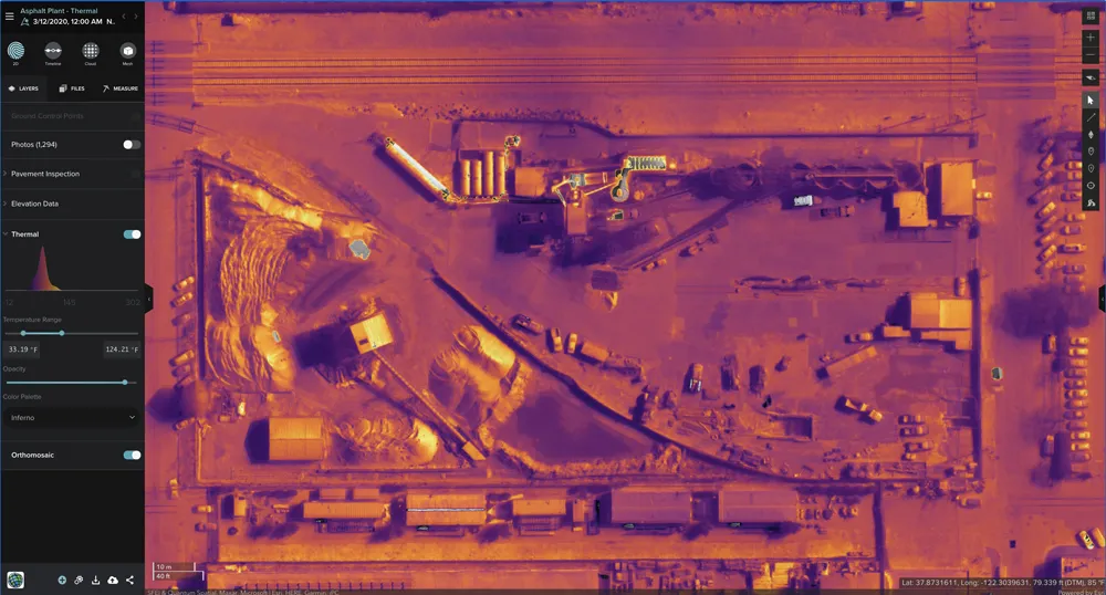
Thermal imaging using Esri UK Site Scan

The partnership will provide customers with drone hardware, pilot training and flying services from Heliguy, adding to Esri’s existing drone flight planning, data capture, data processing and GIS software.

Current Esri drone software customers include Skanska Norway, Arcadis and PCL Construction in North America. Meanwhile, Heliguy, an unmanned aerial vehicle specialist, manages some of Europe’s largest drone programmes, working with construction firms such as Balfour Beatty and Atkins.

Esri UK and Heliguy will work on joint projects to introduce new and more efficient workflows by bringing together customers’ GIS and Survey teams who have traditionally worked separately on drone-related projects. The goal is to streamline processes, from drone management and data capture, through to data analysis and better sharing of outputs across a business, including integration with BIM and CAD workflows.

“By providing a single source of hardware and software, the partnership will help customers maximise their investment in drones and GIS,” said Craig Evenden, head of construction and BIM at Esri UK. “As drone usage grows, accelerated by the COVID-19 pandemic, the [construction] community is demanding more integrated programmes that can easily grow across their business. Heliguy’s vast experience and training capabilities, coupled with Esri’s cloud-based drone and GIS software are a perfect match for the AEC industry’s new enterprise requirements.”

Esri UK customers include Arcadis, Mott MacDonald, Costain, Crossrail, the Skanska, Costain and STRABAG Joint Venture and Highways England. Formed in 2006, Heliguy is based in the UK with an office in Dallas in the US state of Texas.

For more information on companies in this article

Related Content

  • LiDAR surveying is making inroads into asset management
    December 18, 2017
    In the coming age of the autonomous vehicle, fast and accurate LiDAR surveying will be increasingly important, explains Valdis Vanags. The game-changing introduction of autonomous vehicles relies not only on intelligent traffic systems but well maintained roads to help computer-guided systems navigate using road markings. Laser scanning technology, too, is a game changer when it comes to planning and executing many civil engineering projects, including transport network upgrades and smart city initiatives.
  • National Highways to use P-AMS from TRL
    April 29, 2022
    TRL will integrate its pavement management system P-AMS, based upon iROADS, into England’s asset management progamme, replacing HAPMS.
  • Accelerating stakeholder collaboration with modern traffic management systems and strategies
    August 30, 2023
    The demand for resilient, equitable, sustainable, and secure mobility solutions is on the rise due to megatrends such as urban demographic growth, digitalisation, and climate change. The United Nation’s forecasts expect that more than 80% of Europe’s population will live in urban areas by 2050.
  • Central Alliance launches Geo Construction division
    December 19, 2017
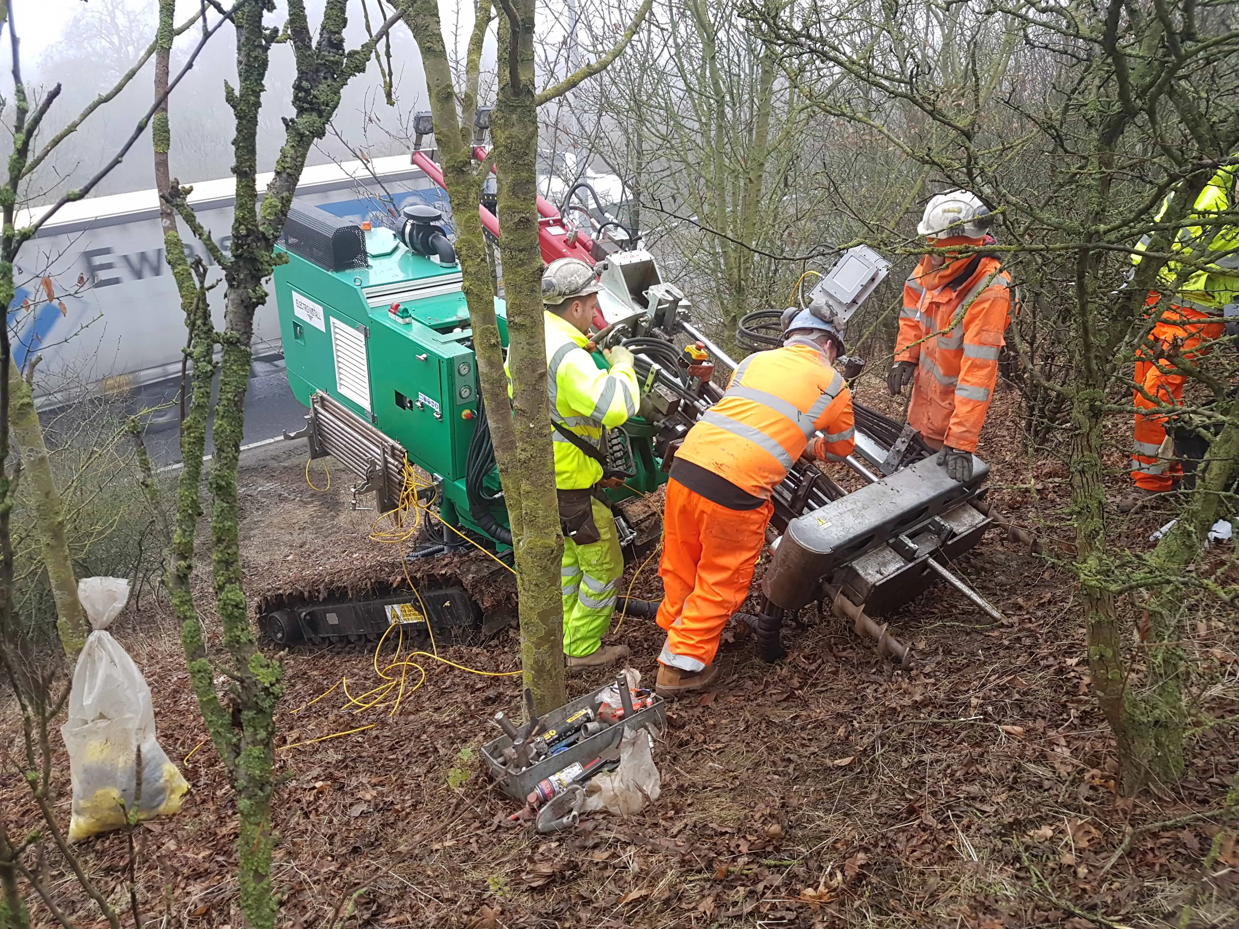
    Central Alliance, a pre-construction services company based in northern England, has set up a geotechnical division called Geo Construction. The company’s investment in the new division includes acquisition of specialist drilling contractor Electro Install that focuses on geotechnical and slope climbing proficiencies. Electro Install’s rigs have full body and mast rotation, enabling Central Alliance to carry out ground investigation in the same orientation and location as proposed remedial works such as