Esri and Heliguy to cooperate

Esri UK has signed a partnership with drone developer Heliguy as part of its strategy to offer all elements of a drone service.
February 15, 2021 Read time: 2 mins
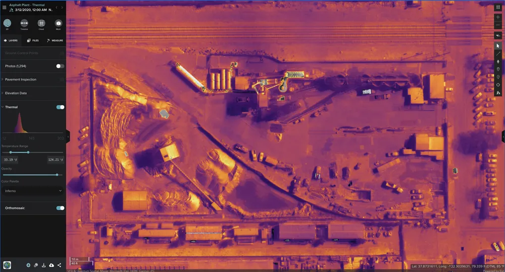
Thermal imaging using Esri UK Site Scan

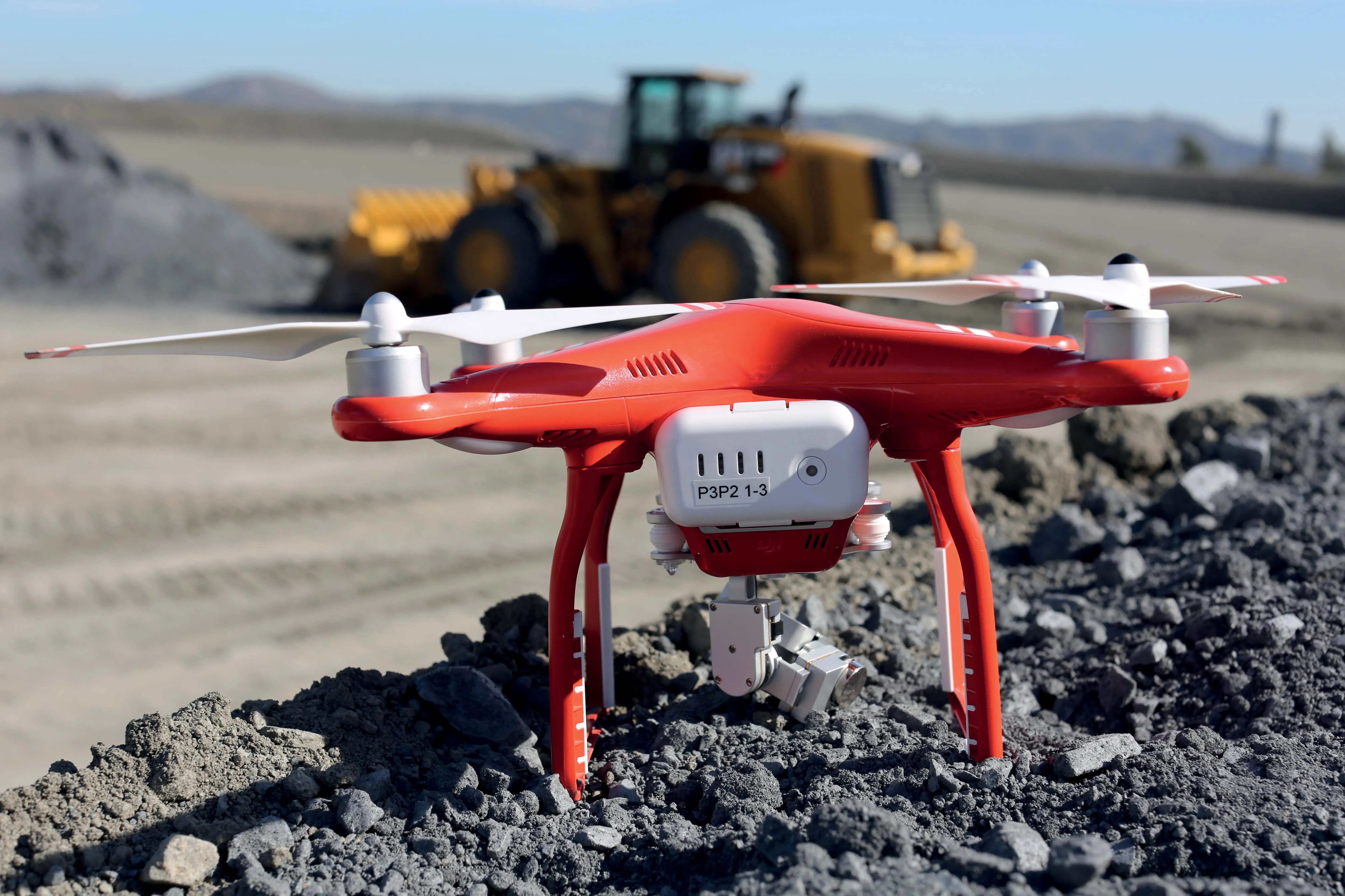
The partnership will provide customers with drone hardware, pilot training and flying services from Heliguy, adding to Esri’s existing drone flight planning, data capture, data processing and GIS software.

Current Esri drone software customers include Skanska Norway, Arcadis and PCL Construction in North America. Meanwhile, Heliguy, an unmanned aerial vehicle specialist, manages some of Europe’s largest drone programmes, working with construction firms such as Balfour Beatty and Atkins.

Esri UK and Heliguy will work on joint projects to introduce new and more efficient workflows by bringing together customers’ GIS and Survey teams who have traditionally worked separately on drone-related projects. The goal is to streamline processes, from drone management and data capture, through to data analysis and better sharing of outputs across a business, including integration with BIM and CAD workflows.

“By providing a single source of hardware and software, the partnership will help customers maximise their investment in drones and GIS,” said Craig Evenden, head of construction and BIM at Esri UK. “As drone usage grows, accelerated by the COVID-19 pandemic, the [construction] community is demanding more integrated programmes that can easily grow across their business. Heliguy’s vast experience and training capabilities, coupled with Esri’s cloud-based drone and GIS software are a perfect match for the AEC industry’s new enterprise requirements.”

Esri UK customers include Arcadis, Mott MacDonald, Costain, Crossrail, the Skanska, Costain and STRABAG Joint Venture and Highways England. Formed in 2006, Heliguy is based in the UK with an office in Dallas in the US state of Texas.

For more information on companies in this article

Related Content

  • Generate real-world ROI with reality modeling!
    September 8, 2022
    Understanding existing site conditions is essential to efficiently design, build, and operate road networks around the world. But how can the real-world be captured quickly and cost-effectively?
  • Western Sydney Airport Bulk Earthworks
    November 7, 2023
    The massive Bulk Earthworks project, under development by the federal government-owned Western Sydney Airport (WSA), entails construction of an international airport on the western side of Sydney, Australia.
  • Efficient asset management delivers
    April 25, 2013
    Maximising the economic benefit of infrastructure assets can be achieved through delivering better quality maintenance. Increasing utilisation of infrastructure follows on from those assets being in better condition. Clearly by tracking infrastructure condition closely, huge gains can be made in addressing technical issues before they become more serious and more costly, as well as minimising disruption. In UK city Birmingham, high resolution aerial photography from Bluesky is helping the city council under
  • Caterpillar has a Vision that includes total project site overview
    April 5, 2016
    Caterpillar may be on its financial back foot, but a recent event showed the company has a vision far beyond this or the next financial year – David Arminas reports. Many construction machinery manufacturers have some data collection and analysis systems for their heavy equipment. For a good decade, manufacturers have been moving in this direction, first as retrofit packages on machines in the field and increasingly as standard on newer models. Caterpillar is no exception among manufacturers that are movin