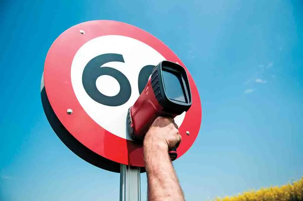
Delta is launching RetroSign GRX for measuring night-time visibility of road traffic signs, high visibility clothing, licence plates and reflective tapes
Delta said that the GRX is replacing its previous hand-held traffic sign retroreflectometers, the GR1 and GR3 that were launched a decade ago.
Similar to its predecessor models, the RetroSign GRX is very easy to calibrate and operate. It adds new features allowing users to carry out a more complete measurement programme, for example, on road traffic
Delta said that the GRX is replacing its previous hand-held traffic sign retroreflectometers, the GR1 and GR3 that were launched a decade ago.
Similar to its predecessor models, the RetroSign GRX is very easy to calibrate and operate. It adds new features allowing users to carry out a more complete measurement programme, for example, on road traffic signs.
The instrument is offered in three base models: GRX-1, GRX-3 & GRX-7 where the digit in the name tells the number of observation angles being active.
The instrument can be delivered with up to seven entrance angles. This makes the instrument suitable for both field and laboratory use.
RetroSign GRX offers features include automatic colour recognition, picture of sign, background and legend colour retroreflection and contrast, scanning of barcodes and QR codes for asset management, instrument tilt and rotation, as well as US sign library.
The sign library will allow the GRX to instantly tell if a measurement has passed or failed.
All instruments come with all features included but only those purchased will be available to the user. If additional features are required in the future, they can easily be made available according to Delta.
RetroSign GRX comes with a calibration reference calibrated in Delta’s DANAK accredited calibration laboratory and is delivered with a free-of-charge accredited calibration certificate.