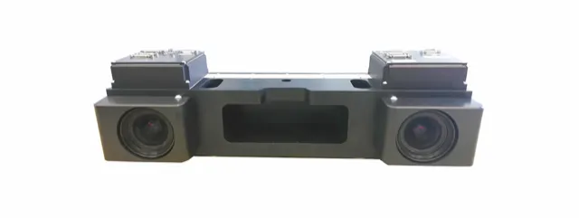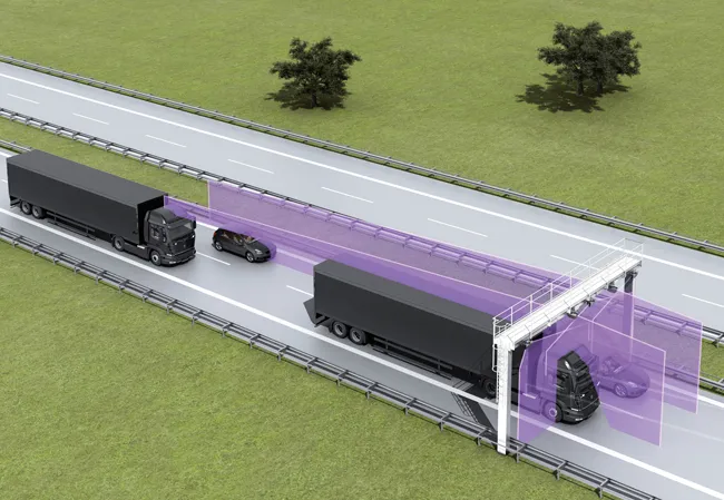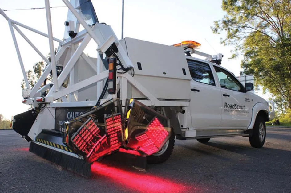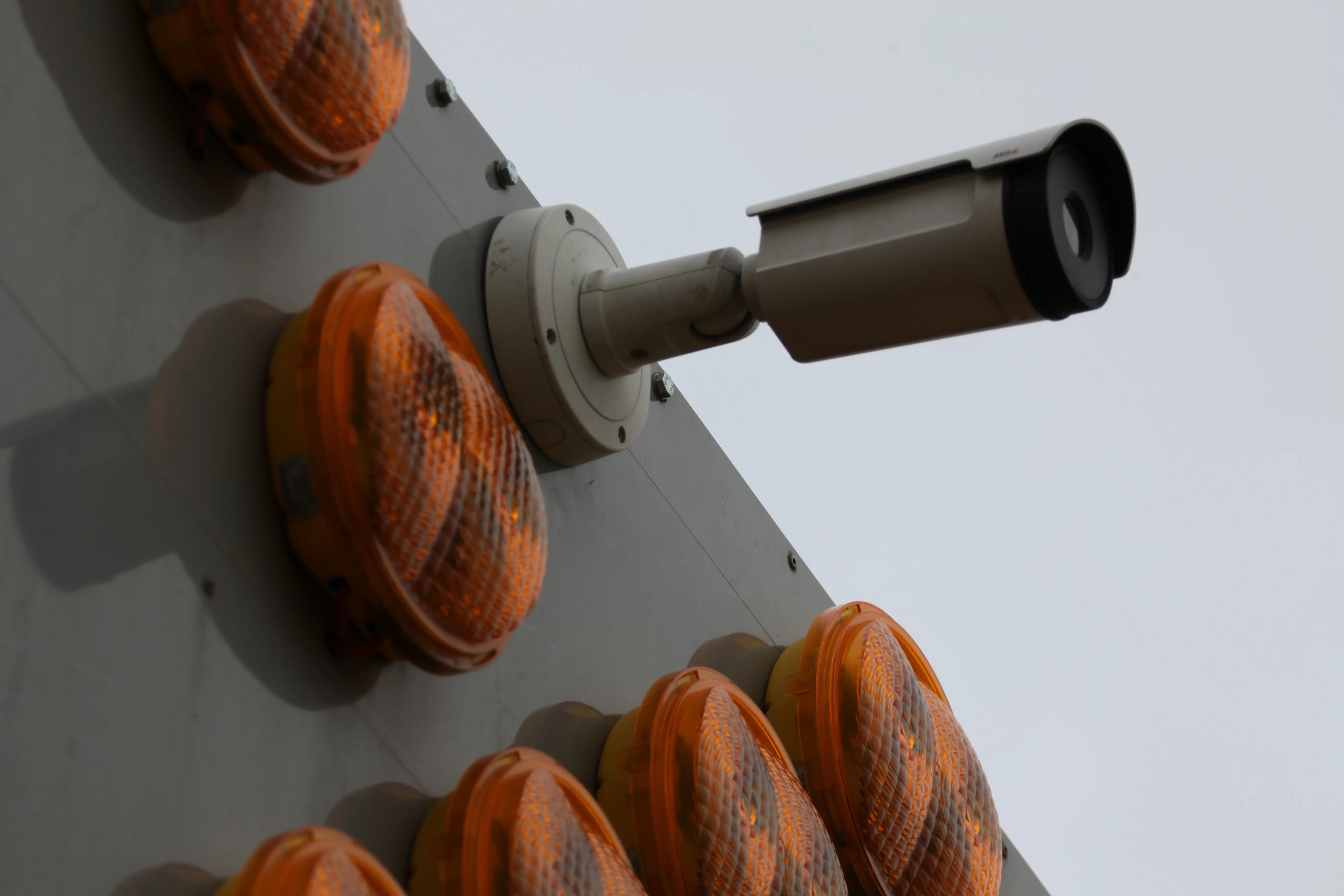
The thermal camera is mounted at height on the rear of a works or emergency vehicle and performs in both dark conditions and full sunlight. It does not suffer from false alarms caused by pixel shifting, as can occur with an optical camera analytic system, particularly at night. When a vehicle that poses a collision risk is detected by the analytics system, an audible and visual warning is sounded and additional or amended vehicle lighting can be initiated.
In addition, a wireless alarm is provided for workers undertaking works on foot away from their vehicle to ensure they are immediately aware of a high-collision risk scenario.
The system is equipped with a GPS and Internet of Things connectivity solution for real-time monitoring of the vehicle’s position and for directly uploading data to the Datex II traffic data interface. This allows satellite navigation manufacturers to use this information to warn road users of the location of the workforce. Highways workers can select a “detection area” to mirror the road geometry and lane width when they arrive on site. This ensures that the system is used on an infinite range of curves and elevation changes while preventing false alarms.