Colas’s Yellow Project warns highway teams of collision risk

Colas’s Yellow Project has been developed with Aximum Electronic Products - a Colas Group Company - and software experts Foxstream. The system uses thermal imaging and video analytics to detect and classify approaching vehicles into “threat categories”. It identifies those that pose the greatest collision risk with a highway works vehicle or nearby workers. The thermal camera is mounted at height on the rear of a works or emergency vehicle and performs in both dark conditions and full sunlight. It does not
November 7, 2017 Read time: 2 mins
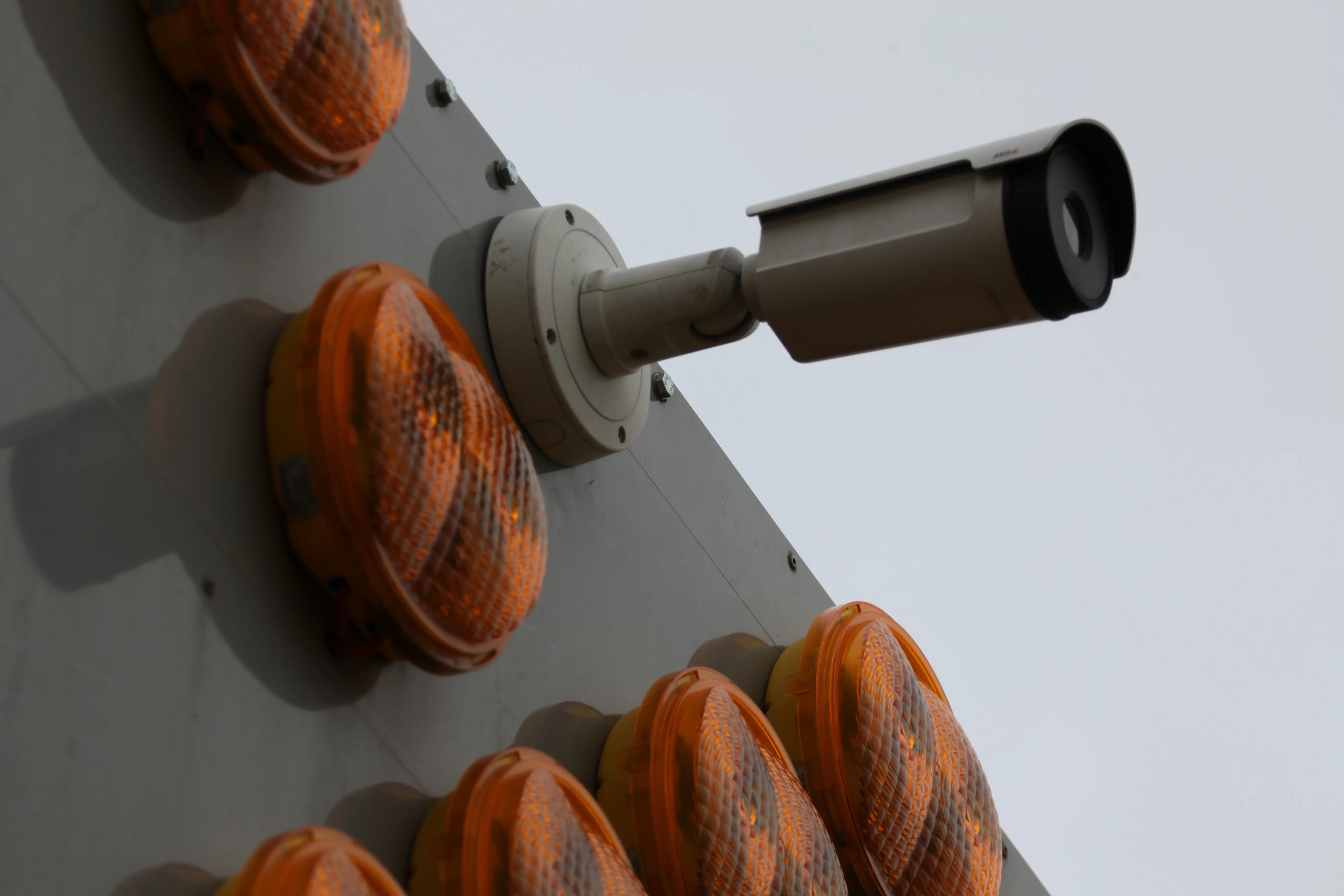
Project Yellow uses a rear-mounted thermal imaging camera

184 Colas’s Yellow Project has been developed with 164 Aximum Electronic Products - a Colas Group Company - and software experts Foxstream. The system uses thermal imaging and video analytics to detect and classify approaching vehicles into “threat categories”. It identifies those that pose the greatest collision risk with a highway works vehicle or nearby workers.

The thermal camera is mounted at height on the rear of a works or emergency vehicle and performs in both dark conditions and full sunlight. It does not suffer from false alarms caused by pixel shifting, as can occur with an optical camera analytic system, particularly at night. When a vehicle that poses a collision risk is detected by the analytics system, an audible and visual warning is sounded and additional or amended vehicle lighting can be initiated.

In addition, a wireless alarm is provided for workers undertaking works on foot away from their vehicle to ensure they are immediately aware of a high-collision risk scenario.

The system is equipped with a GPS and Internet of Things connectivity solution for real-time monitoring of the vehicle’s position and for directly uploading data to the Datex II traffic data interface. This allows satellite navigation manufacturers to use this information to warn road users of the location of the workforce. Highways workers can select a “detection area” to mirror the road geometry and lane width when they arrive on site. This ensures that the system is used on an infinite range of curves and elevation changes while preventing false alarms.

For more information on companies in this article

Related Content

  • Risk warnings for UK revealed with new data
    May 9, 2013
    New data from the UK reveals key information about road risk factors both across the country and in capital London. A new report reveals that around 68% of pedestrian casualties are adults who are at greatest risk on weekend evenings and after consuming alcohol. Meanwhile another separate study in London reveals that cyclists are not at fault in most crashes in which they are involved.
  • Seeing is believing: Bomag’s Digital Field Service
    April 27, 2018
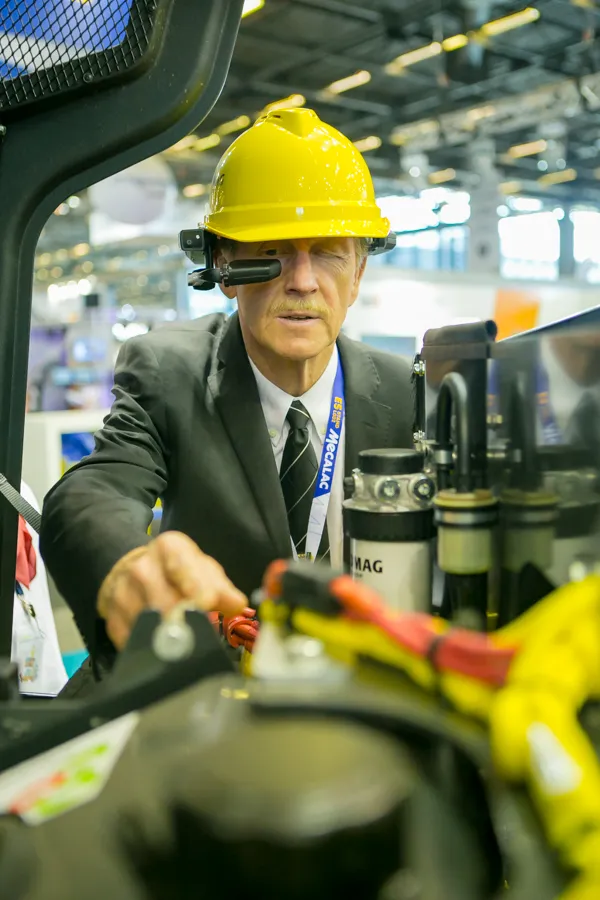
    Bomag is customer-testing a new Digital Field Service has the potential to redefine onsite maintenance … globally. The focus here is not digitisation for its own sake. Rather, it is an attempt to reduce downtime by linking a maintenance operator on site, wearing a construction hard hat with a built-in camera and a “heads up” mini-screen in view, remotely guided by a Bomag expert back at the company’s headquarters. Problems on site can be talked through, whether the machine is 1km or 1,000km away. Bomag
  • World of Asphalt report from Tennessee
    May 26, 2022
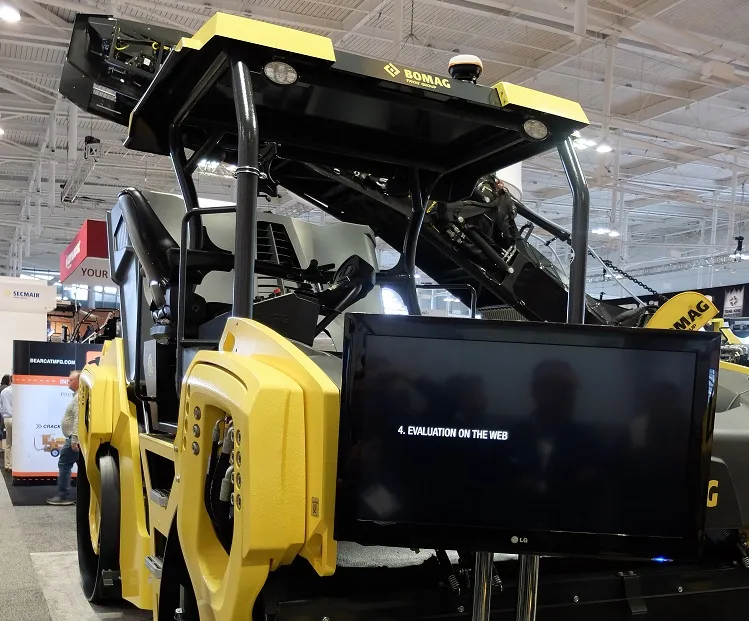
    Major manufacturers are offering a range of new compaction machines and technology to the market. Mike Woof reports from the recent World of Asphalt event in Nashville, Tennessee.
  • Machine control technology evolving fast
    February 8, 2012
    The machine control market is evolving fast and is increasingly becoming part of a much wider construction site management concept, Mike Woof reports. Machine control technology has come a long way in the past 20 years and the development of 2D and 3D systems has been rapid in the construction sector.