
Clearview magnetometer trial detects alternative to loops

An UK investigation into the performance of Clearview Intelligence’s magnetometers as an alternative to inductive loops on MIDAS installations has concluded they deliver like-for-like results.
October 1, 2019 Read time: 3 mins
Study clears the way for Clearview’s M100 magnetometers

The study also showed that there are additional benefits, according to 8900 Clearview.

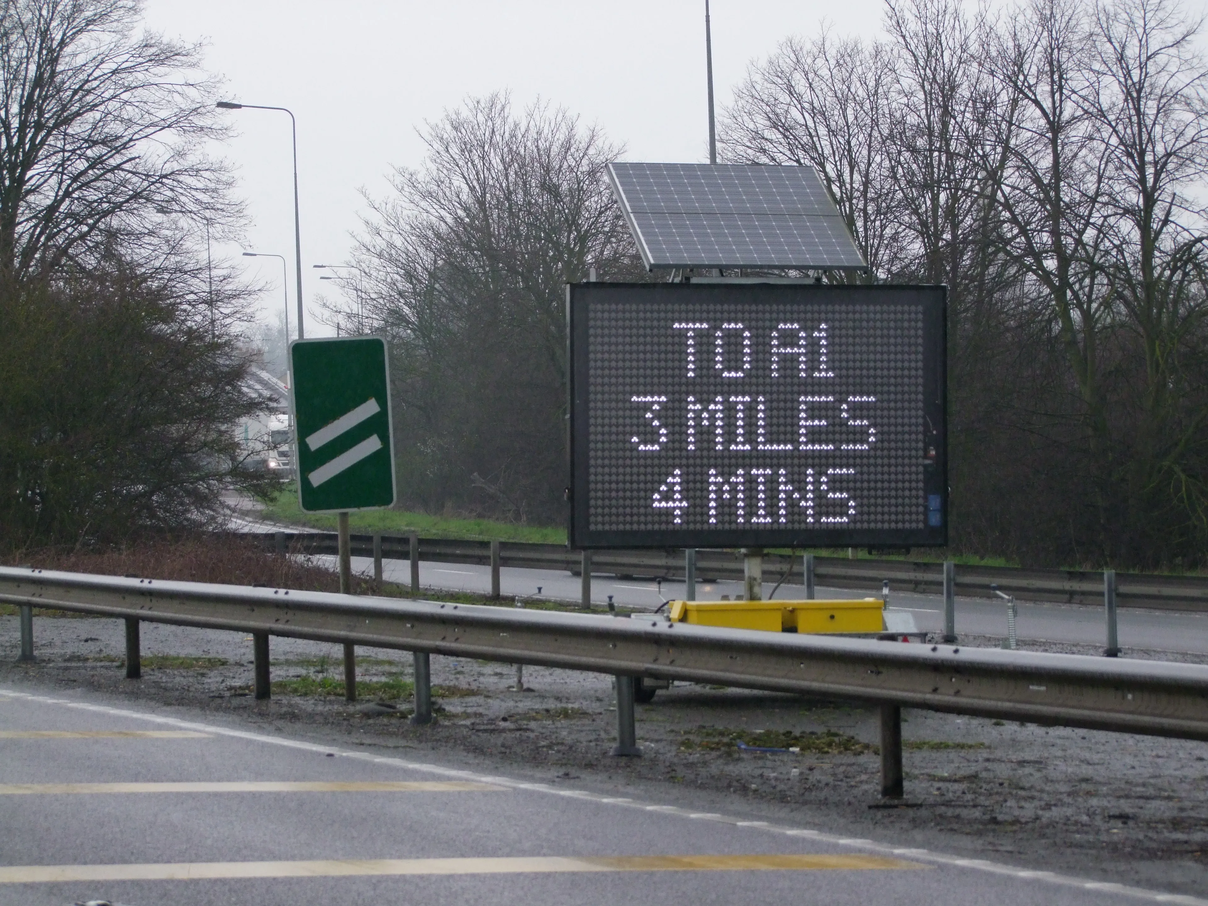
MIDAS - motorway incident detection and automatic signalling, is a network of traffic sensors, usually inductive loops that alert a local control centres to traffic flow and average speeds. The data helps the centre set information for travellers, such as variable message signs and advisory speed limits.

The trial was done by a project group comprising representatives of Clearview Intelligence, 8100 Highways England (the government roads agency), 2316 A-one+ (a UK joint venture  equally owned by 1662 Jacobs Engineering Group and construction companies 184 Colas and 2319 Costain), Connect Roads (a UK road operator) and Mway Comms (a UK highways technology provider). The joint venture undertook a year-long trial on the A1/M1 motorway comparing the performance of magnetometers and loops when monitoring speed, traffic flow and classification of vehicles.

“The conclusion of the report is that under similar circumstances and with the same installation methodology, the magnetometers are a suitable alternative to inductive loop detection,” according to a statement by Jacobs Engineering Group which compiled the findings report on behalf of A-one+.

Clearview noted that Connect Roads had previously been managing a lane surfacing strategy that created additional re-cutting of loops and subsequent increased degradation of the road surface. Highways England was also struggling to build a viable business case for full radar deployment. As a result, they agreed to a commission of Clearview’s M100 magnetometers on a trial basis.

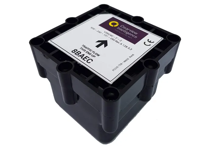
Unlike inductive loops which are installed across the width of the carriageway, the M100 is cored into the centre of the lane. This avoids the natural wearing course. Sensors detect changes in the earth’s magnetic field caused by passing vehicles to provide vehicle detection data equivalent to that generated by inductive loops.  

Following completion of the trial, the data was submitted to, and accepted by the National Information Service, which confirmed the data was “suitable for vehicle clarification”.

With a battery life of between eight and 10 years, the trial recognised the installation and replacement of magnetometers was “far less onerous” than loops when considering the time, cost and traffic management, as well as the fact the M100 is non-evasive to the road surface.  

Clearview says that it’s magnetometers are up to four times faster to install than traditional loops. Because they are battery operated, they can be installed independently of each other which reduces the need for full carriageway closures. They can also be installed to a depth of up to 165mm which allows for carriageways to be resurfaced without the need to remove and reinstall the magnetometers.


For more information on companies in this article

Related Content

  • Mobile Visual Information Systems’s DATEX on the A14 in the UK
    November 7, 2017
    Highways England has deployed an intelligent transport system that uses portable message signs to display real-time journey information from the National Traffic Operations Centre (NTOC). Mobile Visual Information Systems’s DATEX allows an average of 85,000 drivers daily on a 34km section of the A14 Cambridge-to-Huntingdon upgrade scheme to navigate roadworks. The scheme includes a new bypass, junction improvements, highway widening and creation of access road. The A14 Integrated Delivery Team, on behalf
  • Using radar to deliver a fine runway finish
    April 4, 2014
    Radar Portal Systems (RPS) has spent a lot of time developing its sophisticated pavement top-surface photometric imaging system so it can cater specifically for the aviation market. This has now been specially developed for use on aircraft runways and taxiways The system was recently used at Brisbane Airport to survey runway and runway shoulders, collecting photometric top-surface data at a 4m width at speeds of up to 100km/h. This dataset allows the firm to display meshing data of the runway surface showin
  • More challenges for Stonehenge A303 scheme
    August 1, 2023
    National Highways’ Road Investment Strategy for England’s strategic roads has committed to upgrading many the remaining single carriageway sections of the A303.
  • England road upgrades planned
    June 14, 2021
    A road upgrade programme is planned for the East of England.