Campbell Scientific launches smarter weather station, Weatherbrain

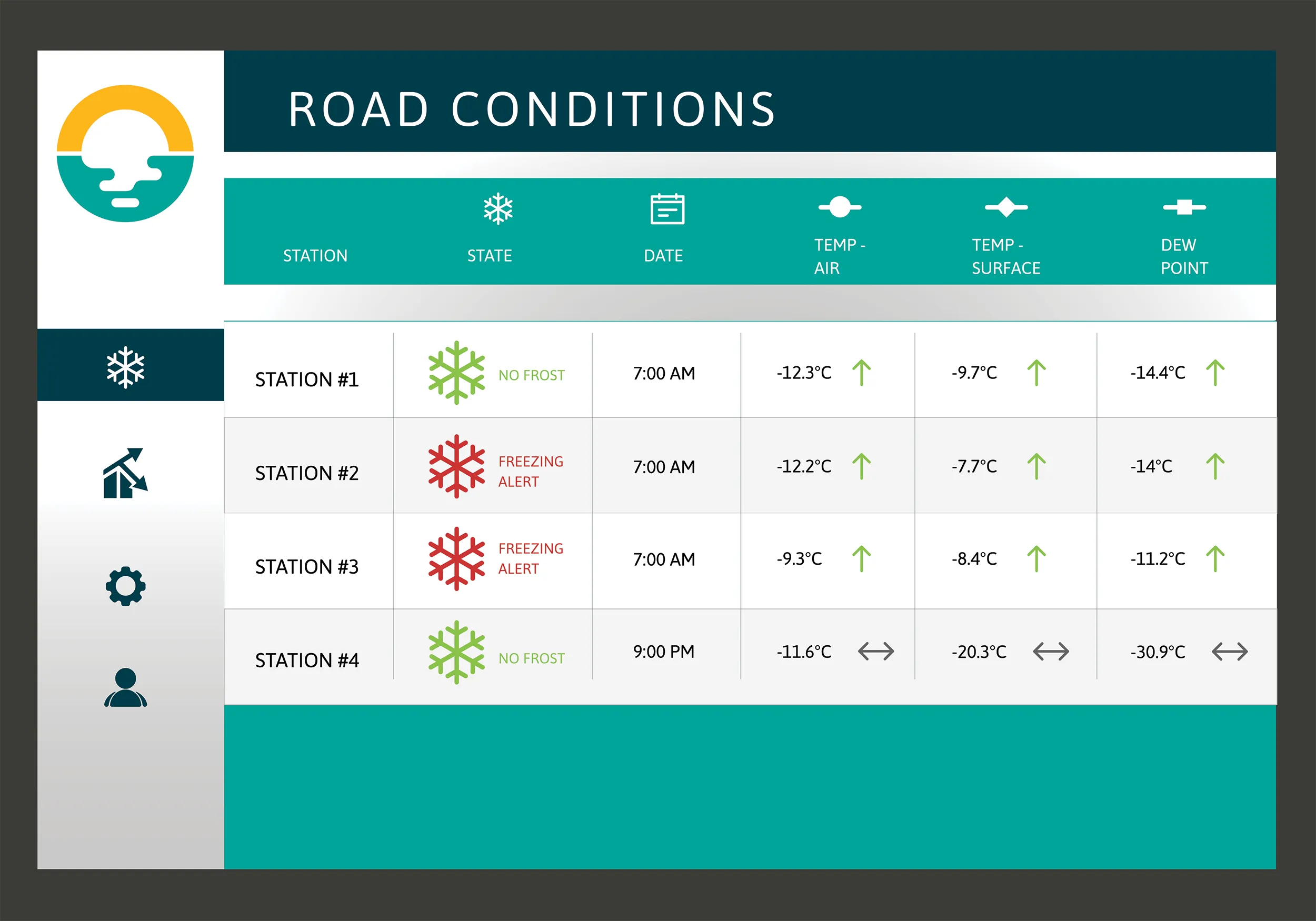
Campbell Scientific Canada has launched its WeatherBrain meteorological system for highways after a year of testing in the city of Magog, Canada. WeatherBrain is a software package that produces readable meteorological data for predicting road and weather conditions, allowing more efficient use of road crews.
February 9, 2018 Read time: 2 mins
Weatherbrain predictions can be more accurate than those from traditional weather stations, according to Campbell Scientific Canada
Campbell Scientific Canada has launched its WeatherBrain meteorological system for highways after a year of testing in the city of Magog, Canada


WeatherBrain is a software package that produces readable meteorological data for predicting road and weather conditions, allowing more efficient use of road crews.

Campbell Scientific said that WeatherBrain’s forecasting, analysis and decision support capabilities can save users time, money and effort on their winter road maintenance programmes.

For the year-long test in Magog, in the province of Quebec, Campbell Scientific covered the city’s 550km of roads with a myriad of weather stations. Individually, these stations act as traditional road weather information systems – RWIS – to monitor snow thickness both on and off roadways. They also collect data on air temperature and dew point.

The problem with traditional RWIS stations is that they collect meteorological data about current conditions via road surface and atmospheric sensors and a datalogger. The datalogger compiles information gathered from the sensors, then delivers the often-cryptic piles of data to the end-user for their analysis and interpretation.

WeatherBrain stations are different, according to Campbell Scientific, because they collate, analyse and present the data in much more detail and in a more easily understood format than traditional stations. Collectively, WeatherBrain’s stations make up a densified network of data points.

An inability to accurately interpret meteorological data remains can result in the over-use and misuse of road salts to prevent accidents.

Similar to traditional RWIS, WeatherBrain consists of a series of RWIS stations equipped with sensors to monitor snow thickness, air temperature, dew point and other facts. However, WeatherBrain has the capacity to pull in geo-relevant third party data, providing a more robust data set to allow for increased relevancy and accuracy.

Extensive algorithms take this geo-relevant data set and create nowcasts and forecasts for the next 12 hours. Based on these nowcasts and forecasts, the software produces actionable indicators that show the user when they’ll need to take action, effectively putting them ahead of impending weather events.

For example, based on the systems forecast, Campbell Scientific said that WeatherBrain can predict a black ice event will occur in 4 hours, so road maintenance operators can schedule their road crews to take proactive maintenance, eliminating the risk altogether.

Related Content

  • Topcon to smoothen roads with SmoothRide system
    February 28, 2018
    Topcon Positioning has developed a sophisticated package that can help deliver better road surface quality. The firm’s latest SmoothRide data collection package is said to make the mapping of road conditions easier and more efficient. The new RD-M1 Collect 2.0 package has an improved interface and a new graphical interface status bar that indicates the optimum speed for collecting road information based on the project requirements.
  • Asphalt and bitumen - testing for performance
    February 29, 2012
    The stresses placed on modern asphalt and bitumen means that specialist equipment is essential to make sure performance specifications are met. As road traffic increases at a rapid pace and road safety becomes a priority issue, asphalt is put under increasingly higher stresses. For example, road surfaces are subject to compression, flexural tensions and tangential stresses: internal friction, depending on the aggregates, and the cohesion, guaranteed by bitumen's composition, are the two main properties whic
  • Bluesky Aerial Mapping sees the trees and not the forest
    February 6, 2017
    Scientists at the University of Lancaster in England are using 3D data produced by Bluesky to refine a tree failure-risk model Pinpointing trees that might collapse onto roads and other infrastructure currently uses complex wind analysis techniques to assign a level of risk to individual trees. The data is Bluesky’s UK National Tree Map, laser mapped 3D height models, colour infrared (CIR) data and soil data. It will help identify individual trees and their proximity to roads as well as electricity insta
  • Drivewyze: US e-inspections on the rise
    May 31, 2022
    Momentum is growing for electronic inspections at weigh stations, according to Drivewyze, operator of the largest public-private weigh station bypass network in North America.