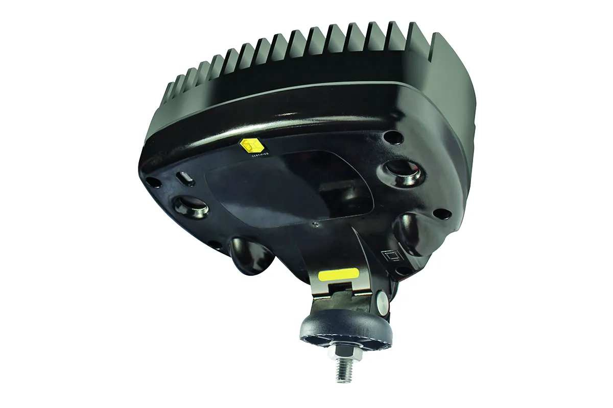
The 645 used to offer a 5m x 3m detection zone. Now, the optical kerbside detector covers a 10m x 3m zone in standard build format. This is to monitor the new super-crossings that are increasingly deployed internationally, said Ian Hind, AGD’s commercial director.
“We are seeing this already in many locations worldwide, particularly at modal intersections such as bus and rail stations, as well as in busy city centres. Now, just one 645 pedestrian detector covers an entire super-crossing, which can be up to 10m wide from pole to pole.
"We are anticipating a great deal of interest in this enhanced product, which was exhibited at
The AGD 645 processes information on board with new chip-set and sophisticated algorithms for automated decision-making to provide ultra-reliable detection, according to the company.
The package employs a 3D HD stereo-vision optical sensor that detects moving and stationary targets - detecting people while rejecting shadows, litter, leaves and other irrelevance.
The 645 also has IP and real-time video capabilities which allow it to feed data and pictures straight into ITS control rooms for informed, smart-city decision-making.
The 645 is quick to set up using any WiFi device - smartphone, tablet or laptop - with its secure AGD Touch-setup. This allows installers to configure the device in just a few clicks, says the company.
Multiple AGD detectors may be set up at the same time from a safe position on the ground or in a vehicle up to 100m away. The AGD 645 can be adjusted for zone changes just as quickly in the same way.