Advanced vehicle monitoring technology

PIPS Technology has commissioned two Journey Time Measurement Systems (JTMS) in Gravesend and Tunbridge Wells for Kent Highway Services (KHS) in the UK. The JTMS locations consist of 34 Automatic Number Plate Recognition (ANPR) cameras and JTMS software all provided by PIPS Technology.
March 2, 2012 Read time: 2 mins

Roads in the english county of Kent now feature vehicle monitoring systems from PIPS technology
202 Pips Technology has commissioned two Journey Time Measurement Systems (JTMS) in Gravesend and Tunbridge Wells for Kent Highway Services (KHS) in the UK. The JTMS locations consist of 34 Automatic Number Plate Recognition (ANPR) cameras and JTMS software all provided by PIPS Technology.

The PIPS JTMS solutions installed in Kent both feature a network of award-winning P372 integrated Spike ANPR cameras, linked by wireless communications to the JTMS software. The Spike cameras are able to read the number plate of every vehicle that passes and sends time stamped and encrypted data back to the JTMS server.

The JTMS server calculates journey times from the data collected and forwards them to a common database which calculates journey times from systems all over Kent. To calculate the journey time the JTMS database uses the data transmitted from PIPS cameras and calculates how long it takes each vehicle to travel from one part of the network to another. From this an average time is calculated so that users know how well the traffic is flowing. Journey time data is useful as it can be transmitted to the roadside to communicate travel times to drivers by variable message signs (VMS) and allows planners to see areas of the road network which are not flowing as they should.

The system in Kent is being used to monitor journey times and alert operators in the KHS Traffic Management Centre of possible congestion and delays on the network. In total there are 21 different camera sites featuring PIPS Spike cameras spread across the two individual project locations, all of which are on single lane carriageways.

For more information on companies in this article

Related Content

  • The Highways Agency aims to address workzone crashes
    April 10, 2013
    The UK’s Highways Agency is telling drivers to take extra care and to stick speed limits at roadworks, to prevent deaths and injuries among both road users and road workers. Eight road workers have been killed in the last three years while improving and maintaining the strategic road network in England. In addition there are many near misses, with members of the public driving through coned off areas or colliding with works vehicles. The UK Government is investing additional funding in road improvements acr
  • Leica Geosystems introduces smart monitoring of structures
    October 1, 2014
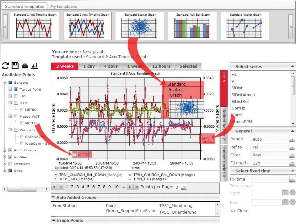
    Highly sophisticated, the Leica GeoMoS Now! From Leica Geosystems is a new web-based application enables on-the-go visualisation and analysis of structural and ground movement monitoring data. With this package, large quantities of geodetic and geotechnical data are said to be easier to handle with simplified workflows using automatic configuration and distribution tools. The package can quickly notify users of any changes in data for faster, more informed responses. Leica GeoMoS Now! allows users t
  • Road monitoring tehcnology
    February 28, 2012
    Fugro Roadware says that its sophisticated Automatic Road Analyser (ARAN) data collection platform offers further functions with the development of the latest 9000 model. A product of two years of research and development, the new ARAN 9000 system has a 50% reduction in computing hardware over the previous model but offers the same functions, is fault tolerant, offers a plug and play system integration and uses a Windows-based operating system.
  • Off-site monitoring with COMMAND Center
    February 19, 2021
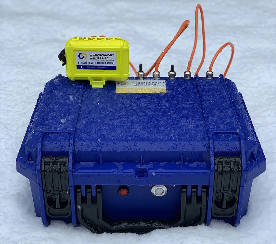
    Transtec has also released the COMMAND Center Cloud, a sharing platform for system users.