Advanced vehicle monitoring technology

PIPS Technology has commissioned two Journey Time Measurement Systems (JTMS) in Gravesend and Tunbridge Wells for Kent Highway Services (KHS) in the UK. The JTMS locations consist of 34 Automatic Number Plate Recognition (ANPR) cameras and JTMS software all provided by PIPS Technology.
March 2, 2012 Read time: 2 mins

Roads in the english county of Kent now feature vehicle monitoring systems from PIPS technology
202 Pips Technology has commissioned two Journey Time Measurement Systems (JTMS) in Gravesend and Tunbridge Wells for Kent Highway Services (KHS) in the UK. The JTMS locations consist of 34 Automatic Number Plate Recognition (ANPR) cameras and JTMS software all provided by PIPS Technology.

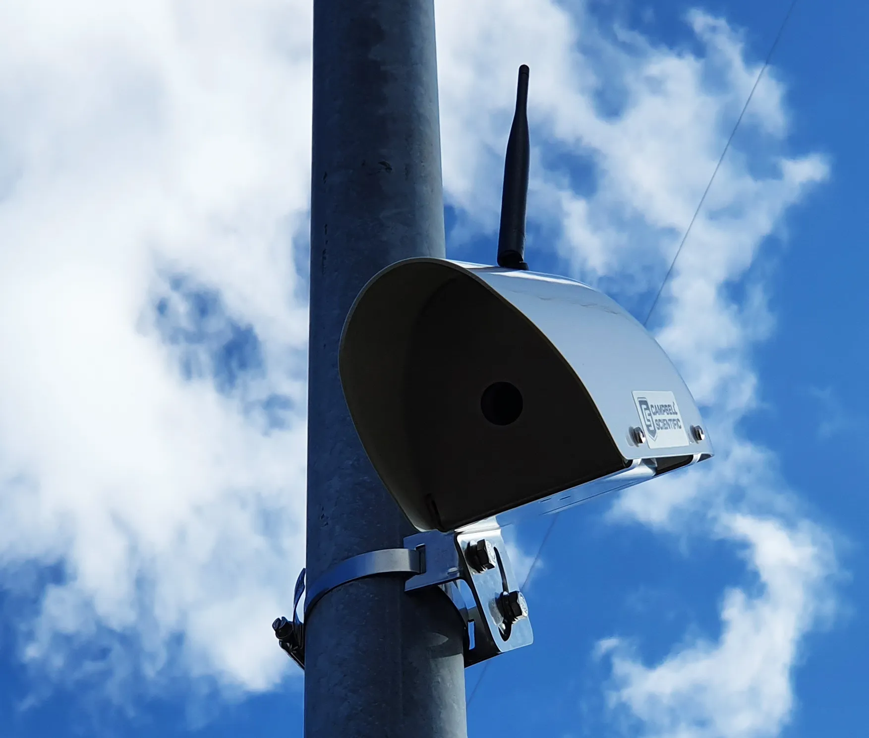
The PIPS JTMS solutions installed in Kent both feature a network of award-winning P372 integrated Spike ANPR cameras, linked by wireless communications to the JTMS software. The Spike cameras are able to read the number plate of every vehicle that passes and sends time stamped and encrypted data back to the JTMS server.

The JTMS server calculates journey times from the data collected and forwards them to a common database which calculates journey times from systems all over Kent. To calculate the journey time the JTMS database uses the data transmitted from PIPS cameras and calculates how long it takes each vehicle to travel from one part of the network to another. From this an average time is calculated so that users know how well the traffic is flowing. Journey time data is useful as it can be transmitted to the roadside to communicate travel times to drivers by variable message signs (VMS) and allows planners to see areas of the road network which are not flowing as they should.

The system in Kent is being used to monitor journey times and alert operators in the KHS Traffic Management Centre of possible congestion and delays on the network. In total there are 21 different camera sites featuring PIPS Spike cameras spread across the two individual project locations, all of which are on single lane carriageways.

For more information on companies in this article

Related Content

  • Gritty decisions need Smart Modelling
    April 11, 2022
    Mark Fisher, principal strategic consultant with Amey Consulting, explains how its data-led Smart Winter modelling improved a UK local government’s winter gritting efficiency by 18%.
  • SWARCO’s MyCity for your city
    October 2, 2020
    SWARCO has launched MyCity, a highly flexible and customisable modular traffic management platform.
  • Ma(r)king the roads readable for self-driving cars
    December 20, 2021
    CAV, V2X, C-ITS, CCAM – the acronyms are differing, but they all have in common that they denominate the linking of road infrastructure and vehicles with the aim to improve traffic flow, reduce emissions and make traffic safer and our journeys more convenient.
  • Study reveals Warsaw as Europe’s most congested city
    July 12, 2012
    Vehicle GPS provider TomTom is revealing details of a study into traffic congestion it had carried out across Europe. This quarterly Congestion Index involves studies of 31 major European cities with populations of over 800,000. According to the study, Poland’s capital Warsaw suffers the worst traffic congestion of any European city. For the UK, the Leeds-Bradford are has come out as the most congested area. Drivers in the Yorkshire conurbation spend an average 86hours/year stuck in traffic jams according t