Accurate road scanning with WDM

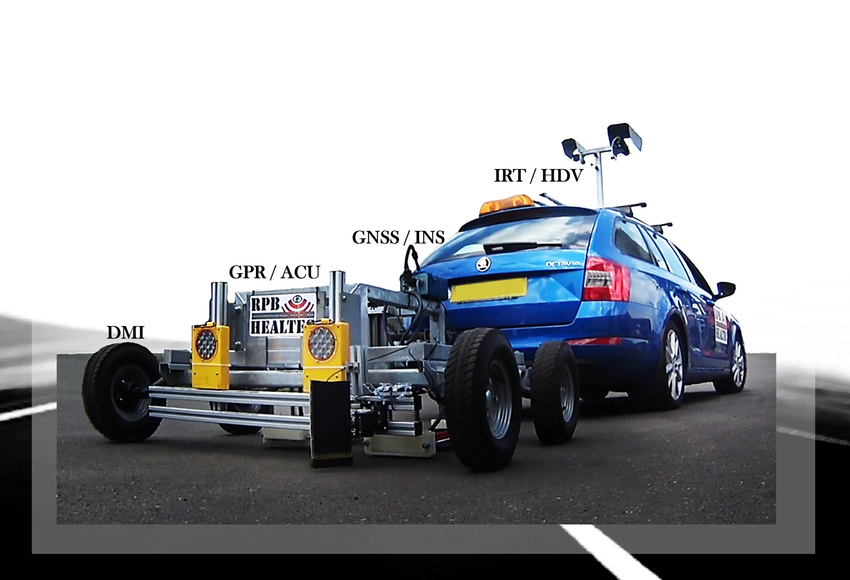
UK firm WDM has developed an innovative road assessment vehicle (RAV), capable of carrying out accurate surveys quickly. The RAV is equipped with an array of sensors that allow it to measure the various parameters needed to meet the UK SCANNER specification.
January 24, 2022 Read time: 2 mins
The latest generation scanning vehicle from WDM allows predictive road maintenance to be carried out (image courtesy Mike Woof)

The company has been developing road scanning equipment since the 1980s and the RAV is the latest and most sophisticated machine from WDM to date.

WDM says that the measurement accuracy of the RAV is checked yearly, as well as being continuously monitored during use. According to Jon Day, marketing manager at WDM, “It can be utilised for predictive maintenance.”

Day explained that by using data from previous scans, the RAV can identify future problem areas. The rate of wear can be analysed over time, allowing an accurate picture of how the road surface will behave with use. “It can predict where the wear will be.”

By identifying the wear rate of the road surface, as well as highlighting points that may fail in time, this allows the road agency to move towards carrying out predictive maintenance. The cost benefits of addressing problems before they become serious can deliver major savings.

For example, joint failures are one of the most common issues on asphalt road surfaces, leading to the freeze thaw effect that causes the asphalt around the affected area to break away. Tackling this early will allow the asphalt joints to be resealed, a far cheaper and quicker job than repairing potholes that develop, and a fraction of the cost of having to resurface a section of road that has been left to decay.

The RAV can be driven at up to 100km/h while carrying out a survey, although 80km/h is more usual, and at this speed it can cover large distances during a working day, while it can also be operated at night.

The firm has been working with National Highways to carry out surveys across large areas of the network. Studies of the roads in Wiltshire using the RAV means that extensive data is being collated at present and this will be used to produce a comprehensive case study.

The RAV measures an array of pavement characteristics, using a combination of GPS and inertial navigation systems to record accurate 3D spatial data to attribute to the specific surface information being collated. The RAV measures road geometry parameters including crossfall, radius of curvature, longitudinal profile, transverse profile and pavement texture.

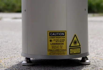
Using the RAV will allow cracks and other surface defects to be identified, while its onboard laser system can check the condition of any road markings.

And an important safety benefit of the RAV is that it also checks surface skid resistance.

For more information on companies in this article

Related Content

  • NDT sensor fusion in structural pavement condition surveys
    February 27, 2017
    Early detection of pavement defects and the causes of deterioration is essential for effective maintenance planning, writes Dr Alena Uus* There is a need for optimisation and development of UK highway survey methods that would provide comprehensive information on the surface and subsurface pavement condition and operate at traffic speed, which eliminates the requirement for lane closures. Performance of non-destructive testing (NDT) methods commonly employed in pavement condition surveys can be potent
  • Laser monitoring of road surfaces
    February 28, 2012
    Klaruw says that its advanced laser scanner system can accurately evaluate the macro-texture of road pavement surfaces. This sophisticated system allows highway agencies to monitor road surface condition more accurately and assess whether the skid resistance meets safety requirements. The innovative Laser Texture Tester (LTT) device uses uses a rotating, high resolution laser to scan circular sections of road pavement.
  • Heat scanning system for asphalt paving work
    October 1, 2014
    A road construction project in Minnesota has benefited from improved quality control by using the new PAVE-IR heat scanning technology developed by German firm MOBA. Resurfacing work on Highway 29 near Alexandria, Minnesota called for around 50km of the road surface to be repaved. The contractor, Central Specialities, opted to optimise quality by employing the sophisticated PAVE-IR control package from MOBA. The system monitors mat temperature during paving, providing an accurate picture of work quality
  • Efficient asset management delivers
    April 25, 2013
    Maximising the economic benefit of infrastructure assets can be achieved through delivering better quality maintenance. Increasing utilisation of infrastructure follows on from those assets being in better condition. Clearly by tracking infrastructure condition closely, huge gains can be made in addressing technical issues before they become more serious and more costly, as well as minimising disruption. In UK city Birmingham, high resolution aerial photography from Bluesky is helping the city council under