
Accurate road scanning with WDM

UK firm WDM has developed an innovative road assessment vehicle (RAV), capable of carrying out accurate surveys quickly. The RAV is equipped with an array of sensors that allow it to measure the various parameters needed to meet the UK SCANNER specification.
January 24, 2022 Read time: 2 mins
The latest generation scanning vehicle from WDM allows predictive road maintenance to be carried out (image courtesy Mike Woof)

The company has been developing road scanning equipment since the 1980s and the RAV is the latest and most sophisticated machine from WDM to date.

WDM says that the measurement accuracy of the RAV is checked yearly, as well as being continuously monitored during use. According to Jon Day, marketing manager at WDM, “It can be utilised for predictive maintenance.”

Day explained that by using data from previous scans, the RAV can identify future problem areas. The rate of wear can be analysed over time, allowing an accurate picture of how the road surface will behave with use. “It can predict where the wear will be.”

By identifying the wear rate of the road surface, as well as highlighting points that may fail in time, this allows the road agency to move towards carrying out predictive maintenance. The cost benefits of addressing problems before they become serious can deliver major savings.

For example, joint failures are one of the most common issues on asphalt road surfaces, leading to the freeze thaw effect that causes the asphalt around the affected area to break away. Tackling this early will allow the asphalt joints to be resealed, a far cheaper and quicker job than repairing potholes that develop, and a fraction of the cost of having to resurface a section of road that has been left to decay.

The RAV can be driven at up to 100km/h while carrying out a survey, although 80km/h is more usual, and at this speed it can cover large distances during a working day, while it can also be operated at night.

The firm has been working with National Highways to carry out surveys across large areas of the network. Studies of the roads in Wiltshire using the RAV means that extensive data is being collated at present and this will be used to produce a comprehensive case study.

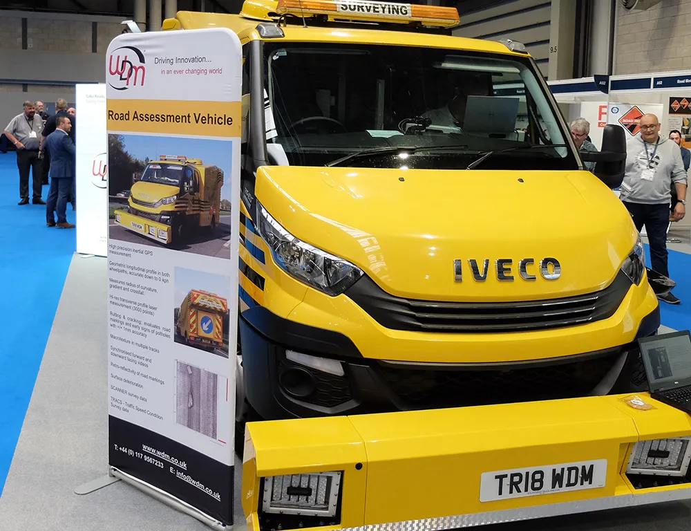
The RAV measures an array of pavement characteristics, using a combination of GPS and inertial navigation systems to record accurate 3D spatial data to attribute to the specific surface information being collated. The RAV measures road geometry parameters including crossfall, radius of curvature, longitudinal profile, transverse profile and pavement texture.

Using the RAV will allow cracks and other surface defects to be identified, while its onboard laser system can check the condition of any road markings.

And an important safety benefit of the RAV is that it also checks surface skid resistance.

For more information on companies in this article

Related Content

  • Big measuring from TinyMobileRobots
    February 27, 2017
    Small is beautiful, especially when it comes to robots, explains Jens Peder Kristensen, director of Danish company TinyMobileRobots With the increased functionality of outdoor robots, the market for autonomous robots as a replacement for human work has widened. The human touch is still needed when dealing with terrain that is difficult to navigate or with a crowded construction site.
  • Technology to ensure continuity and quality for asphalt production
    June 4, 2019
    A variety of complex factors are involved in the production of hot asphalt mixes, with the process vulnerable to sudden stoppages of the equipment. The problems caused by a need for unplanned maintenance are high, as the cost of a plant stoppage is high. In order to minimise disruptions to production, new technologies can be used for wear components. Electronic monitoring of asphalt plant motors during production can boost efficiency, replacing corrective maintenance with preventive and predictive maintenan
  • Accurate scanning
    February 6, 2012
    TOPCON CLAIMS that its GLS- 1500 laser scanner speeds point cloud collection. This unit is 10 times faster than previous units and collects up to 30,000 points/second, reducing the amount of equipment needed in the field. The GLS-1500 offers a range of up to 330m and is designed for quick setup to save time and improve productivity.
  • Proper GPR Surveying Techniques
    May 10, 2019
    A sustainably good road surface often depends on how well understood is the ground underneath the road’s route. Brian Jones* offers some best practice and advice for getting the most from ground-penetrating radar investigations Ground-penetrating radar (GPR) is one of the most accurate non-destructive testing (NDT) methods available. To get the most from GPR surveying, it is absolutely essential to understand how GPR tools work and follow best practices when conducting surveys. Key areas to be aware o