UK government roads minister Mike Penning yesterday announced the roll-out of 3D laser scanning technology to shorten road closure times after crashes.
UK government roads minister Mike Penning yesterday announced the roll-out of 3D laser scanning technology to shorten road closure times after crashes. The 5432 Department for Transport (DfT) has awarded 27 police forces across England a total of £2.7 million (US$4.16 million). The funding, together with police and the 3507 National Policing Improvement Agency (NPIA) contributions, will enable them to purchase 37 scanners.
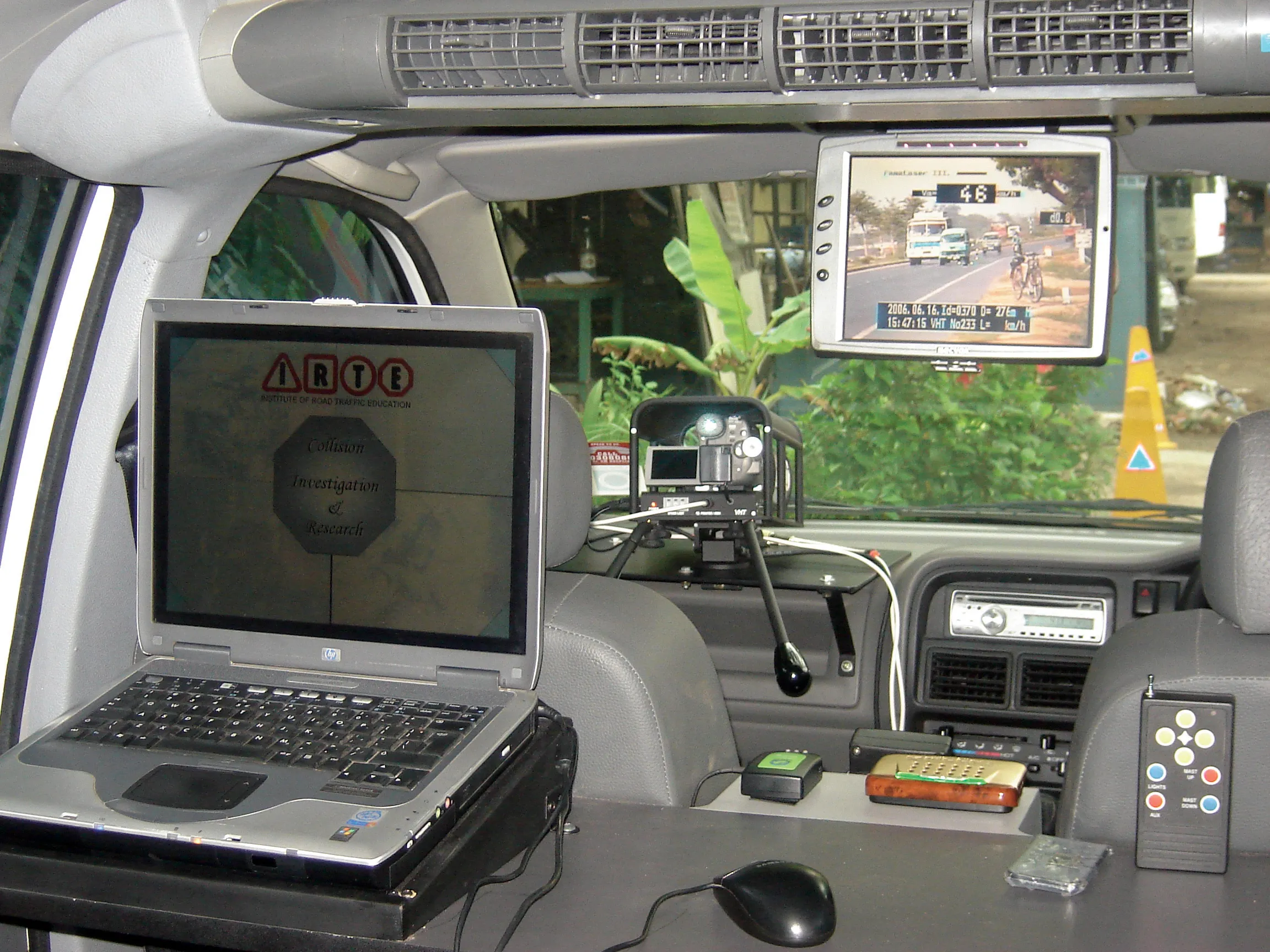
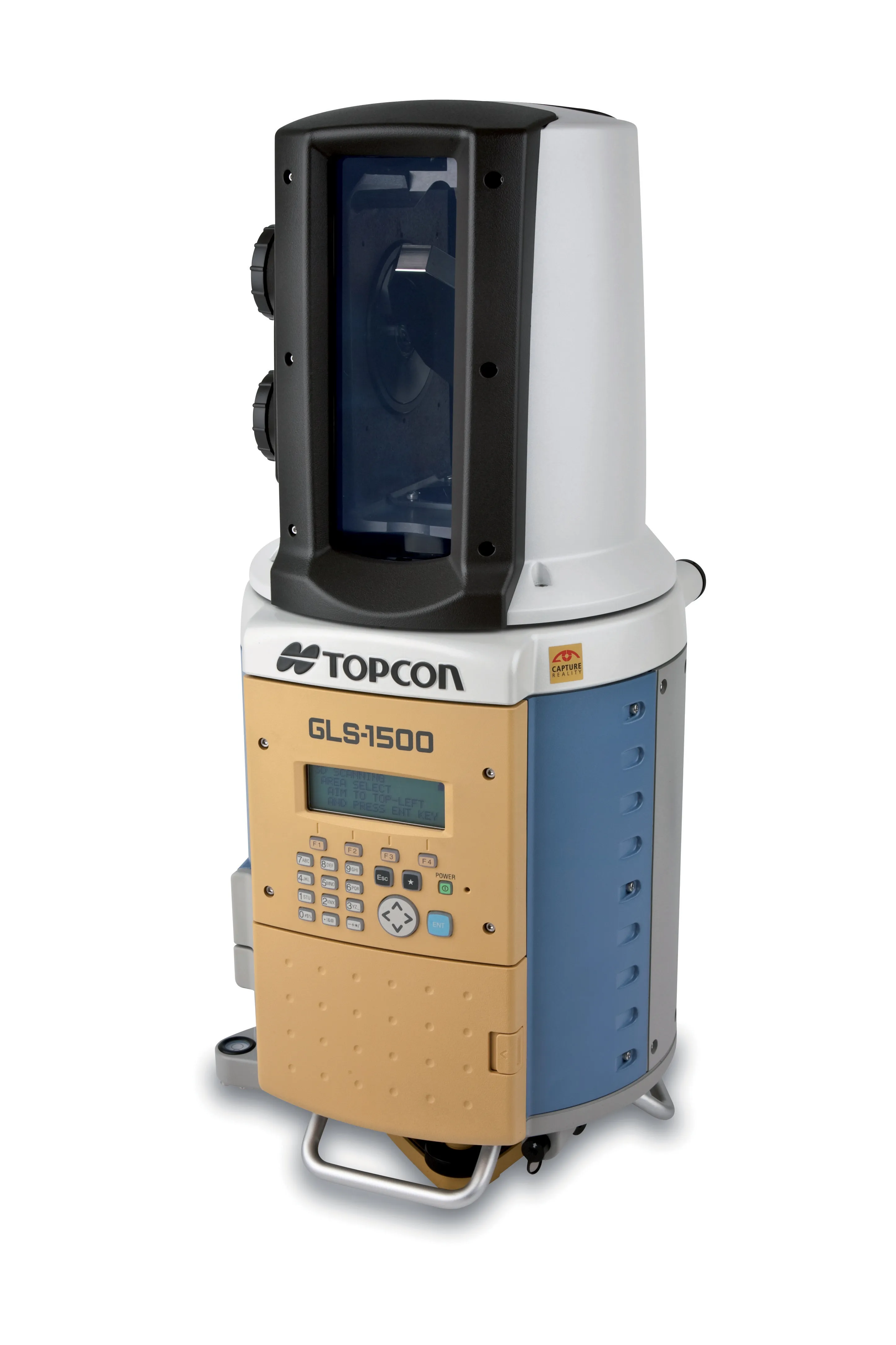
The technology saves time by quickly making a 3D image of the whole crash site, rather than investigators painstakingly surveying multiple sections of a scene. This digital image of the site can then be viewed on a computer screen remotely allowing investigators to take measurements of where vehicles are in relation to each other and examine other important evidence.
“There is nothing more frustrating than being stuck in a traffic jam for hours on end,” said Mike Penning announcing the initiative. “But even worse than that is the shocking £1 billion (US$1.54 billion) cost of those lost hours for our economy. That is why we are determined to improve the clear-up of accidents so we can get our motorways re-opened as quickly as possible. Today's £2.7 million DfT funding award will see 3D laser scanners rolled out quickly where they are needed most. This will benefit drivers by reducing incident clear up times by 39 minutes on average,” Penning said.
In 2009, the2309 Highways Agency (HA) carried out an independent trial of 3D laser scanning technology (LST) using results from separate trials conducted by the Metropolitan Police Service and Humberside Police. The trials, which were completed in September 2010, found that on average the LST saved a total of 39 minutes per incident. Last year (2010) there were more than 18,000 full or partial motorway closures lasting a total of more than 20,000 hours.
The wider roll-out of 3D laser scanning technology is part of a UK government-led initiative known as ‘Clear’. This initiative is delivering an action plan aimed at reducing delays caused by incidents in order to keep traffic moving - a vital element in securing the UK’s prosperity.
The technology saves time by quickly making a 3D image of the whole crash site, rather than investigators painstakingly surveying multiple sections of a scene. This digital image of the site can then be viewed on a computer screen remotely allowing investigators to take measurements of where vehicles are in relation to each other and examine other important evidence.
“There is nothing more frustrating than being stuck in a traffic jam for hours on end,” said Mike Penning announcing the initiative. “But even worse than that is the shocking £1 billion (US$1.54 billion) cost of those lost hours for our economy. That is why we are determined to improve the clear-up of accidents so we can get our motorways re-opened as quickly as possible. Today's £2.7 million DfT funding award will see 3D laser scanners rolled out quickly where they are needed most. This will benefit drivers by reducing incident clear up times by 39 minutes on average,” Penning said.
In 2009, the
The wider roll-out of 3D laser scanning technology is part of a UK government-led initiative known as ‘Clear’. This initiative is delivering an action plan aimed at reducing delays caused by incidents in order to keep traffic moving - a vital element in securing the UK’s prosperity.