TrafficLand-Exelis platform offers key hyperlocal weather info to drivers

TrafficLand, the largest authorised aggregator of live traffic video in the United States, and global aerospace and defense firm Exelis, have teamed up to deliver “game-changing” real-time information to motorists about hyperlocal weather conditions. The Helios environmental intelligence platform uses proprietary algorithms that give users the ability to monitor current conditions and detect changes in visibility, precipitation and road surface conditions at a hyperlocal, or street scale. Helios can then i
January 7, 2014 Read time: 2 mins
5369 TrafficLand, the largest authorised aggregator of live traffic video in the United States, and global aerospace and defense firm Exelis, have teamed up to deliver “game-changing” real-time information to motorists about hyperlocal weather conditions.

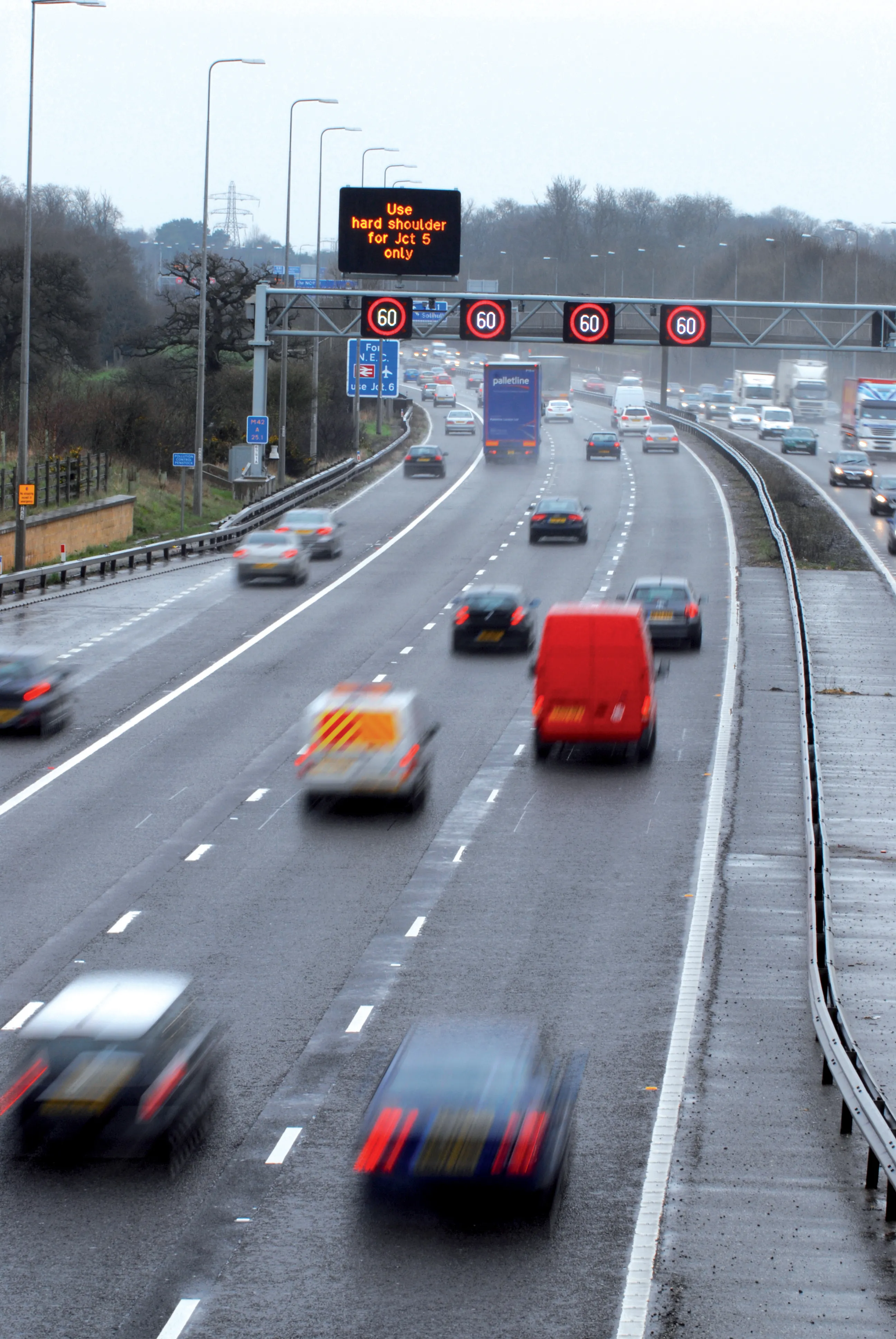
The Helios environmental intelligence platform uses proprietary algorithms that give users the ability to monitor current conditions and detect changes in visibility, precipitation and road surface conditions at a hyperlocal, or street scale. Helios can then inform users of threatening conditions. Content from the Helios platform is available via API or Web interface for integration across platforms.

Exelis brings 45 years of weather intelligence and image science expertise to TrafficLand’s network of more than 15,000 Department of Transportation traffic cameras in over 200 cities across the United States.

“Demand for TrafficLand content historically spikes during severe weather events, demonstrating that people want accurate, timely information about weather conditions at roadside cameras on the roads they are traveling,” said Lawrence Nelson, CEO of TrafficLand. “This partnership creates a game-changing weather information platform that will help individuals using in-car and other connected devices, as well as public agencies, media and others make better weather-related decisions.”

“Exelis is applying similar science used for Earth imaging and environmental satellites, which produce weather data for forecasters, to the TrafficLand network of cameras,” said Eric Webster, Exelis Geospatial Systems vice president of weather systems. “Our proprietary algorithms can also provide ground truth to regional predictions.”

For more information on companies in this article

Related Content

  • Workzones benefit from new mobile speed enforcement technology
    April 11, 2012
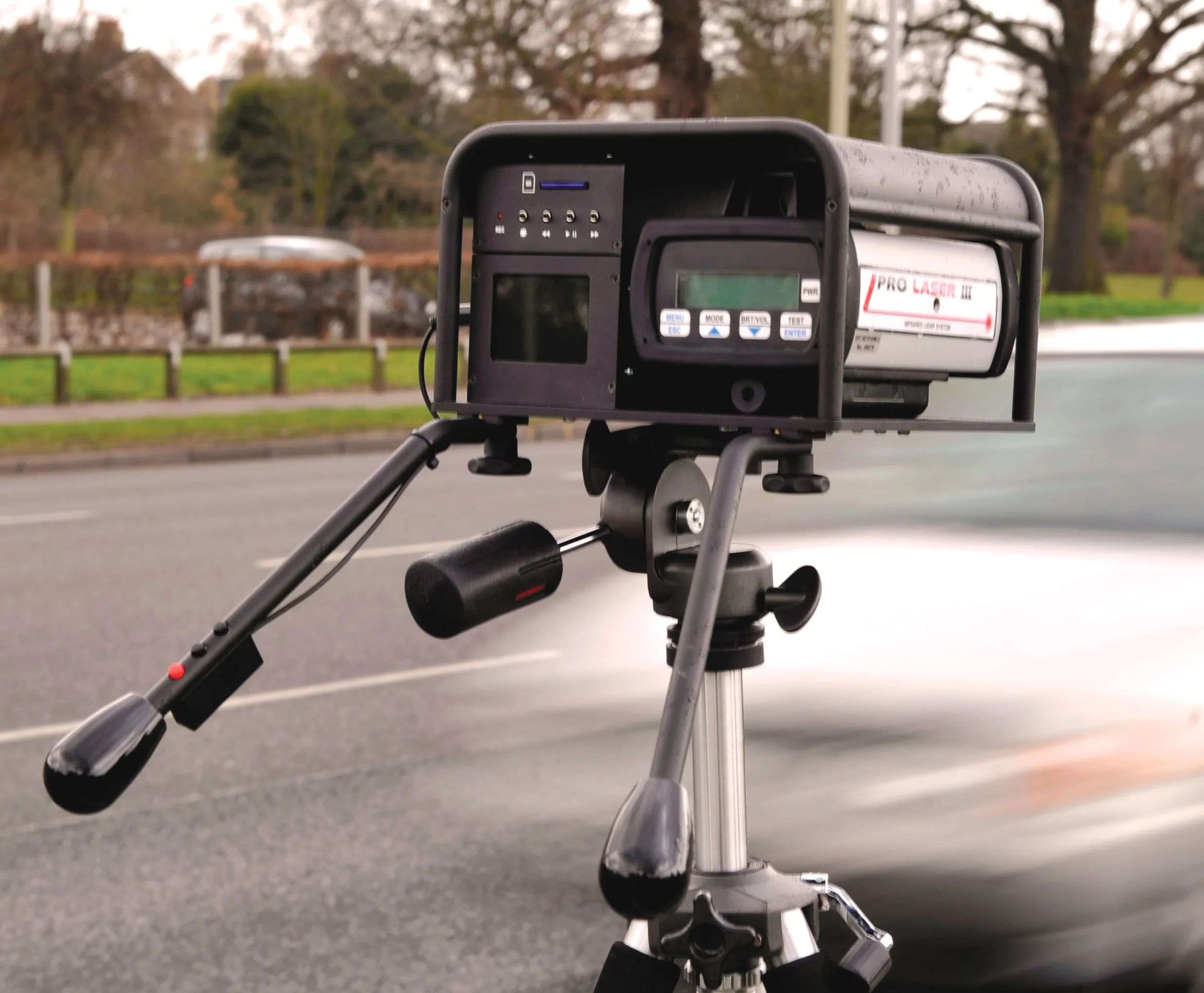
    A variety of new technology for temporary speed zones during major highway projects across the globe is about to hit the market, while other proven systems remain in demand. Guy Woodford reports The D-Cam P is one of four new mobile speed reading products for temporary speed zones being launched this month by Truvelo. Deployable solely as a speed camera or at a red light intersection to monitor red light offences, the D-Cam P can also act as a speed camera on the green and amber light phases. The machin
  • Workzones benefit from new mobile speed enforcement technology
    April 10, 2012
    A variety of new technology for temporary speed zones during major highway projects across the globe is about to hit the market, while other proven systems remain in demand. Guy Woodford reports. The D-Cam P is one of four new mobile speed reading products for temporary speed zones being launched this month by Truvelo. Deployable solely as a speed camera or at a red light intersection to monitor red light offences, the D-Cam P can also act as a speed camera on the green and amber light phases. The machine d
  • Brisbane’s Airport: Innovative Management of One of the World’s Busiest Runways
    June 26, 2014
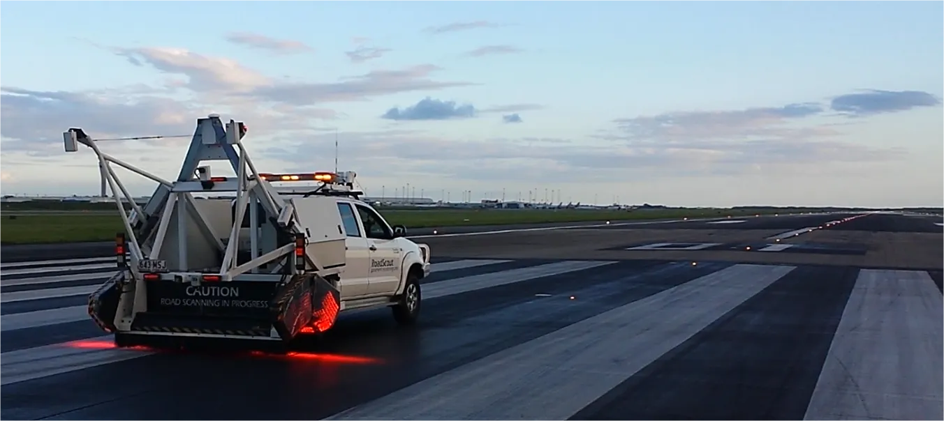
    When it comes to runways, there are few busier then Brisbane’s main runway. Servicing both domestic and international travel, with over 200,000 movements per year, operating without a curfew Brisbane’s main runway is the busiest in Australia. For maintenance, crews only have a limited period of time to determine the pavement condition, normally during the night, making the detection of pavement faults difficult. To resolve this issue, a new high speed pavement scanner was used to rapidly survey the pavem
  • Data collection key to software developments
    February 13, 2012
    The collection and handling of data are key technology drivers in the software sector. New methods of data collection and manipulation are driving significant developments in software at present. The latest technology allows designers and engineers to collect, store and manipulate ever larger amounts of data. Growing use of mobile field equipment for both data collection and field management is driving interactive systems. And in an interview this month Autodesk senior vice-president for the construction an