Telvent completes MxVision Weather Sentry

Telvent GIT has announced the completion of its MxVision WeatherSentry online platinum package.
February 29, 2012 Read time: 1 min
3344 Telvent GIT has announced the completion of its MxVision WeatherSentry online platinum package. The company says that for the first time, users will be able to overlay Telvent's top-rated forecasting technology with colour-coded traffic speeds, live cameras and their own custom layers to provide the most comprehensive view of weather's impact on their operations.

Together with Telvent's high-resolution street-level mapping, this customised layering technology allows users to intersect weather and traffic conditions with their own geospatial boundaries and assets. Industries ranging from energy to transportation will experience enhanced situational awareness as they can anticipate and track weather's impact on operations and crews. For example, a public works department will be able to see on one convenient interface the weather radar, live conditions, and the impact the weather is having on the flow of traffic in their district. Telvant says that with this data, better decisions can be made regarding snow fighting efforts.

For more information on companies in this article

Related Content

  • MAD about Vitronic in Germany
    April 30, 2025
    Vitronic has supplied two of its latest sensor columns to the project MAD Urban (Managed Automated Driving for Urban Mobility and Logistics) being set up in Braunschweig (Brunswick).
  • Sophisticated software solutions offering surveying innovation and construction efficiency
    August 28, 2014
    An array of new software tools will deliver greater efficiencies to construction companies – Mike Woof writes. Sophisticated software systems are delivering advanced solutions to traditional construction tasks. Key developments have been made by major players in the sector, such as Bentley Systems, Fugro Roadware, Leica Geosystems and Topcon Sokkia. From Bentley comes a new package that will help road construction activities in urban areas featuring a heavy concentration of underground utilities. This n
  • EarthSense Systems releases air pollution map of the UK
    June 15, 2018
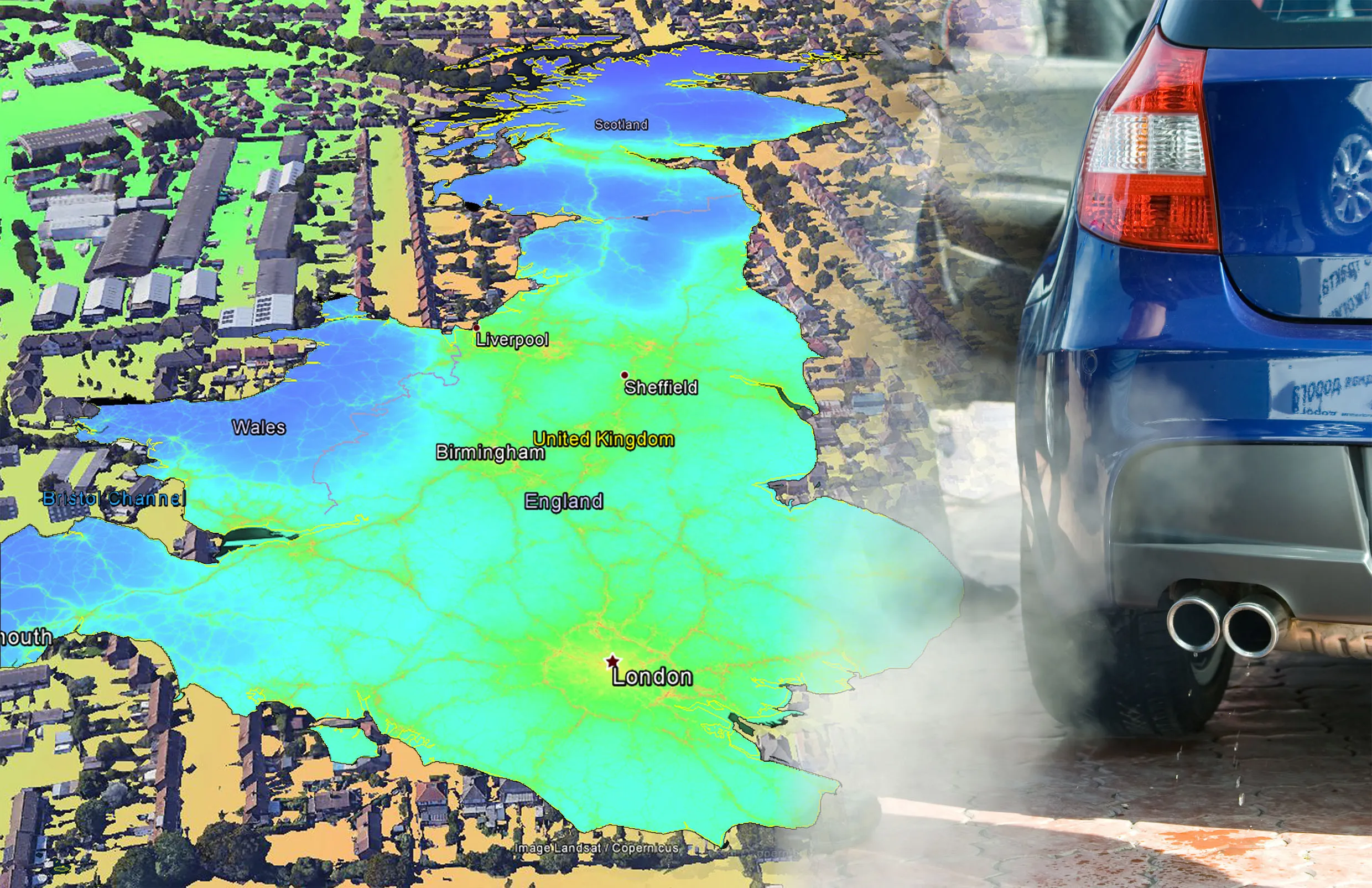
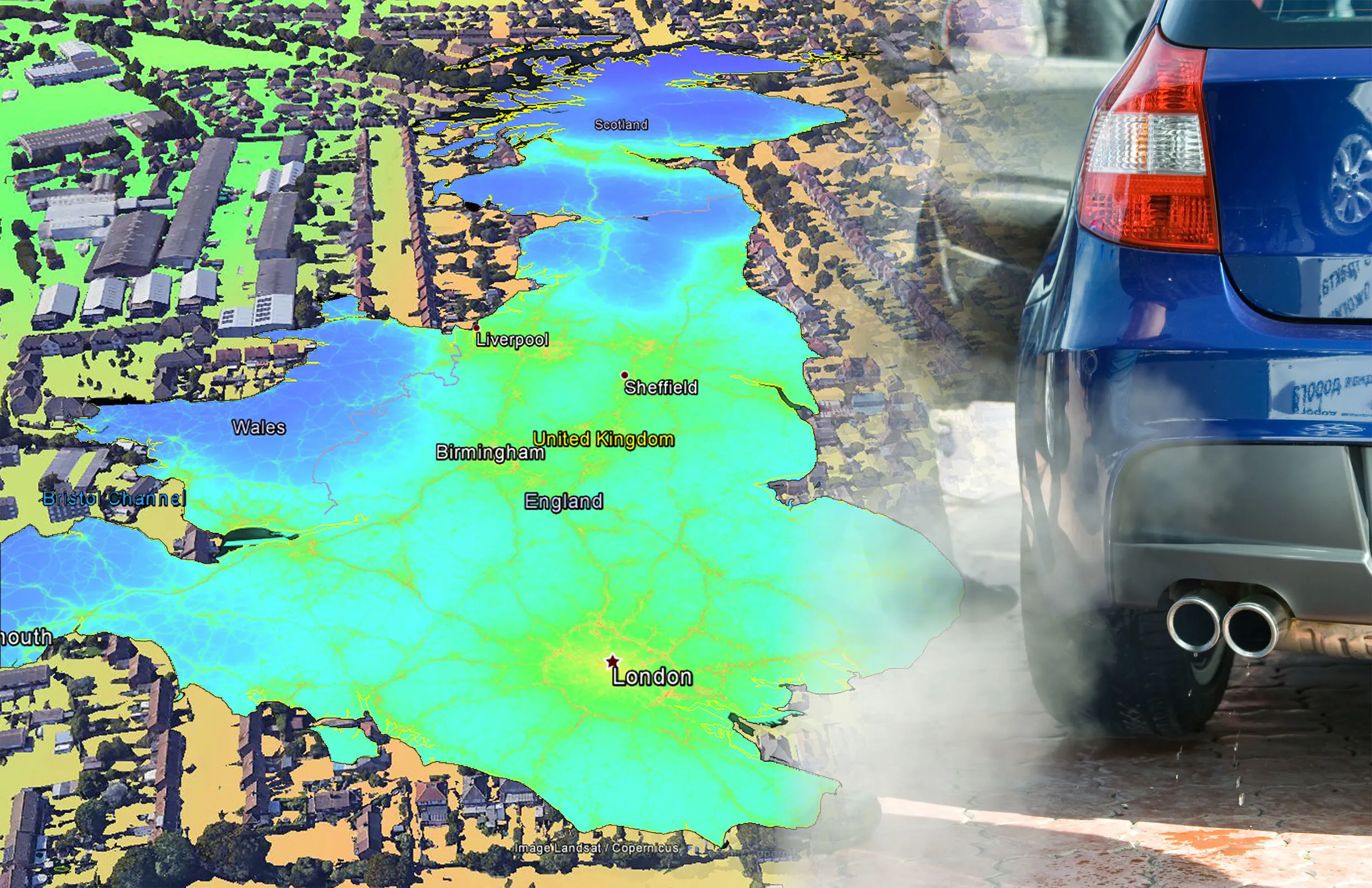
    EarthSense Systems has published MappAir, a high-resolution map of air pollution throughout the entire UK. MappAir shows how air pollution - specifically nitrogen dioxide - changes across the country and within towns and cities, highlighting likely sources and potential clean-air refuge areas. It combines data from satellites and its EarthSense Systems’ own air quality monitoring sensors along with open source data. The result, using complex modelling, creates a highly accurate map at 100m resolution, says
  • EarthSense Systems releases air pollution map of the UK
    June 26, 2018
    EarthSense Systems has published MappAir, a high-resolution map of air pollution throughout the entire UK MappAir shows how air pollution - specifically nitrogen dioxide - changes across the country and within towns and cities, highlighting likely sources and potential clean-air refuge areas. It combines data from satellites and its EarthSense Systems’ own air quality monitoring sensors along with open source data. The result, using complex modelling, creates a highly accurate map at 100m resolution, says