Telvent completes MxVision Weather Sentry

Telvent GIT has announced the completion of its MxVision WeatherSentry online platinum package.
February 29, 2012 Read time: 1 min
3344 Telvent GIT has announced the completion of its MxVision WeatherSentry online platinum package. The company says that for the first time, users will be able to overlay Telvent's top-rated forecasting technology with colour-coded traffic speeds, live cameras and their own custom layers to provide the most comprehensive view of weather's impact on their operations.

Together with Telvent's high-resolution street-level mapping, this customised layering technology allows users to intersect weather and traffic conditions with their own geospatial boundaries and assets. Industries ranging from energy to transportation will experience enhanced situational awareness as they can anticipate and track weather's impact on operations and crews. For example, a public works department will be able to see on one convenient interface the weather radar, live conditions, and the impact the weather is having on the flow of traffic in their district. Telvant says that with this data, better decisions can be made regarding snow fighting efforts.

For more information on companies in this article

Related Content

  • Trimble Dimensions 2012 exhibits revolutionising construction technology
    December 14, 2012
    More than 3,500 visitors from 80 countries attending Trimble Dimensions 2012 gained a vital insight into how information technology is revolutionising working practises in, among other fields, heavy civil construction, building construction, surveying, mapping and GIS, and transport and logistics Guy Woodford was among those attending the three-day event at The Mirage hotel in Las Vegas, USA Themed Transform the Way the World Works, Trimble Dimensions 2012 had new hardware and software launches aplenty, as
  • Hanwha on the Pedemontana Veneta
    November 1, 2022
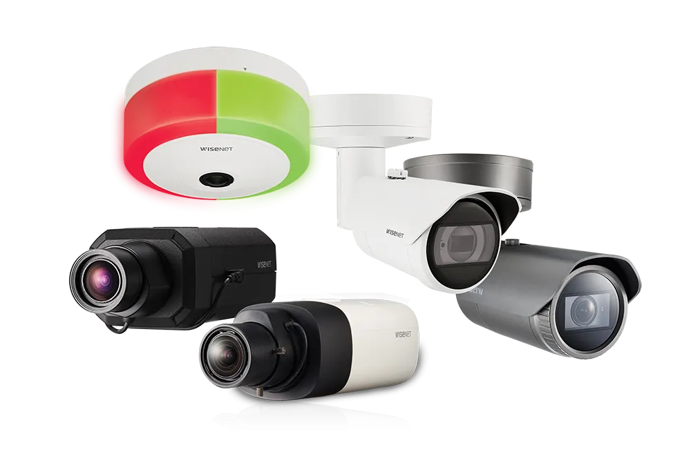
    The need for a motorway to link the cities of Vicenza and Treviso in northern Italy emerged in the 1970s as the Venetian countryside became increasingly urbanised. Meanwhile, the enlargement of the European Union to the east in the 1990s also brought more traffic across the region
  • Transtone revolutionises quarry operations with Connected Map and Performance Indicator
    September 1, 2024
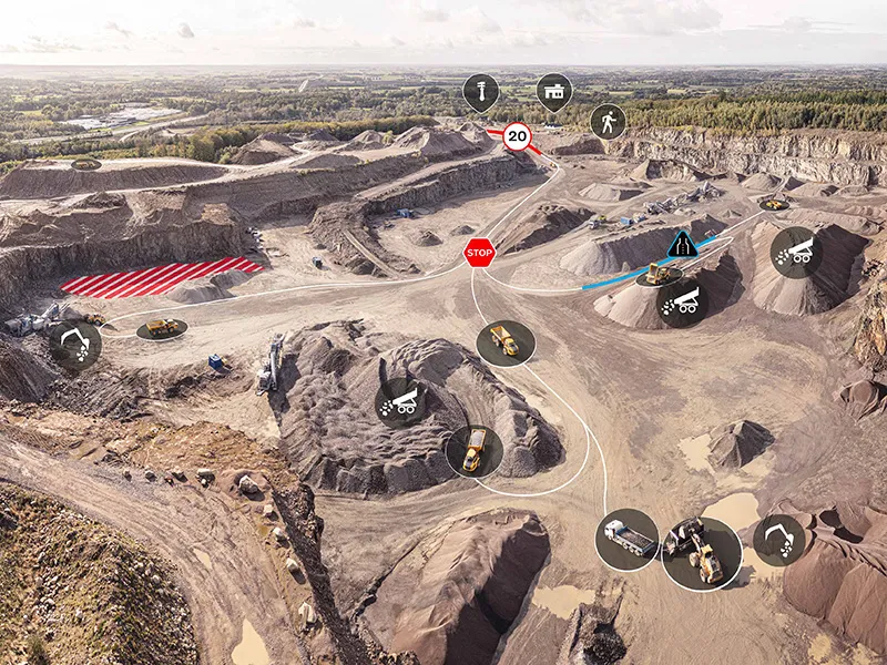
    Digital tools have the potential to reshape construction, helping customers to run more efficient, productive, safe and sustainable operations. Transtone SA, a valued customer of Volvo Construction Equipment (Volvo CE) based in Belgium, has transformed its operations with Volvo CE’s productivity services, Connected Map and Performance Indicator.
  • Iteris fuses video and radar
    May 2, 2012
    Iteris has announced Vantage Vector, the latest addition to its portfolio of Vantage vehicle detection solutions. The new device, which fuses the company's proven video detection with radar sensor technology to extend the range and richness of detection data, will begin shipping in the first quarter of 2012.