Telvent completes MxVision Weather Sentry

Telvent GIT has announced the completion of its MxVision WeatherSentry online platinum package.
February 29, 2012 Read time: 1 min
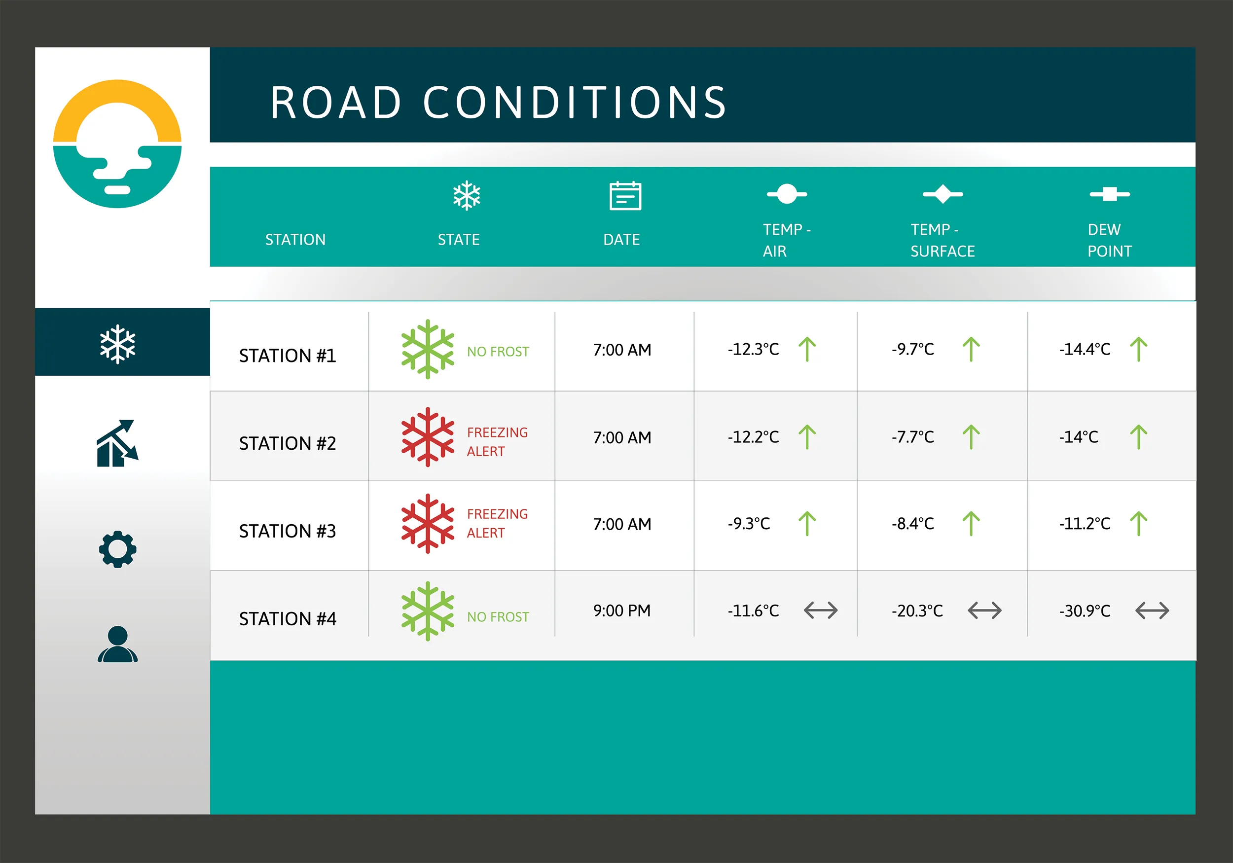
3344 Telvent GIT has announced the completion of its MxVision WeatherSentry online platinum package. The company says that for the first time, users will be able to overlay Telvent's top-rated forecasting technology with colour-coded traffic speeds, live cameras and their own custom layers to provide the most comprehensive view of weather's impact on their operations.

Together with Telvent's high-resolution street-level mapping, this customised layering technology allows users to intersect weather and traffic conditions with their own geospatial boundaries and assets. Industries ranging from energy to transportation will experience enhanced situational awareness as they can anticipate and track weather's impact on operations and crews. For example, a public works department will be able to see on one convenient interface the weather radar, live conditions, and the impact the weather is having on the flow of traffic in their district. Telvant says that with this data, better decisions can be made regarding snow fighting efforts.

For more information on companies in this article

Related Content

  • Campbell Scientific launches smarter weather station, Weatherbrain
    February 9, 2018
    Campbell Scientific Canada has launched its WeatherBrain meteorological system for highways after a year of testing in the city of Magog, Canada. WeatherBrain is a software package that produces readable meteorological data for predicting road and weather conditions, allowing more efficient use of road crews.
  • Philips CityTouch brings street lighting into focus
    December 20, 2016
    As far as 99% of any city’s population is concerned, street lights are just, well, there. But big changes are taking place, as explained by lighting systems provider Philips Lighting. Street lighting has been with us for more than a century. With the exception of the early 20th century switchover from gas to electricity and the recent most important invention of LEDs, there have been few obvious changes.
  • Road construction software innovations
    February 13, 2012
    A range of key software innovations are now available for road construction applications from various suppliers - Adrian Greeman writes. Two significant and highly economic alternatives are now available to the major CAD providers both from Belgium and both offering interesting features. First is Pythagoras, which describes itself as a modern CAD program specially designed for topographical applications which include land surveying, road design and city planning.
  • Precision narrows the gap between design software and GIS
    March 20, 2012
    Greater precision is helping blur the boundaries between GIS technology and design software While GIS map based technology has extended its range across an ever more universal spectrum of uses in the highways sector, it is increasingly showing weaknesses for engineering purposes. It is very often not accurate enough. This has not mattered previously because the GIS tool has been seen essentially as an automated version of paper based systems from the design department's point of view. Where engineers