Siemens and NIS Glonass sign MoU aimed at Russian truck tolling system

NIS Glonass, Russia's national navigation services provider, and Siemens have signed a memorandum of understanding to collaborate and implement navigation and road tolling solutions based on Glonass, Russia'’s navigation satellite constellation.
March 15, 2012 Read time: 1 min
3940 NIS Glonass, Russia's national navigation services provider, and 1134 Siemens have signed a memorandum of understanding to collaborate and implement navigation and road tolling solutions based on Glonass, Russia'’s navigation satellite constellation. Both companies have reportedly already developed and tested an onboard unit using a Glonass/GPS device which has passed a successful test conducted by the 3477 Moscow Automobile and Road Institute (MADI).

The MoU agreement establishes a strategic partnership between the companies in the preparation and implementation of a Glonass-based satellite electronic toll system that would be applied to trucks over 12 tonnes on roads throughout Russia. Indeed, at the MoU signing ceremony, the overall significance of the programme was stressed on the grounds that it will enable the collection of additional funds for modernising Russia’'s highways.

For more information on companies in this article

Related Content

  • Positioning tools continue to improve
    July 16, 2012
    Topcon says that its new IP-S2 package combines GNNS positioning capabilities with inertial sensors, while the firm also has a solution for customers wanting to mix and match receiver components. The IP-S2 is a vehicle-mounted, mobile 3D tool that offers precision mapping and surveying capabilities. The package collects data using 3D laser scanners, LIDAR, and/or cameras, and this is then integrated, time-stamped and geo-referenced. The customer can use this assembled data to combine LIDAR point cloud and d
  • Tag option
    February 20, 2012
    While the use of GPS is now commonplace in industry there are locations that do not get a reliable signal throughout the working day. The location, geographical layout and depth of a quarry can cause 'canyoning', where GPS signals are not dependable.Poor signals make GPS-based machine tracking technology unreliable but a Canadian firm has an RFID-based system it believes could be the answer for such sites. This cost effective QuarryTag system has been adapted from a product that has been widely used by the
  • Valerann wins AI European Space Agency deal
    April 25, 2025
    Valerann’s traffic monitoring contract is from ESA’s Business Applications and Space Solutions (BASS) programme which supports services that use space technology and data in markets such as transportation.
  • Better maintenance is on the Horizon for UK’s Warrington Council
    May 15, 2018
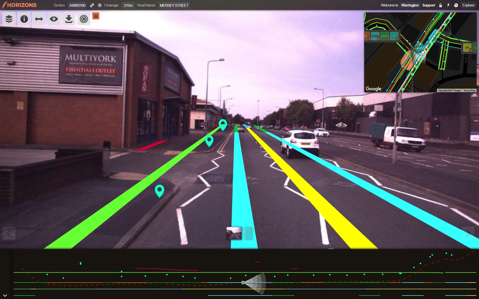
    Good, readable analysis of road surfaces to ensure sufficient maintenance funding is an essential part of asset management. The technical side of ensuring a good road surface is integral to maintaining safe, superior highway infrastructure. But securing sufficient government funding for such work – repairs and new-build – based on the current road surface is also essential. To evaluate road conditions and structure for such a business case, one UK local council turned to software provider Yotta.