
Performance probe for National Highways

A report published last July concerning England's National Highways agency noted several risk areas where problems could arise and which have now done so, according to UK media reports.
By David Arminas February 21, 2024 Read time: 2 mins
England’s Strategic Road Network that takes in motorways and some major A-class highways – a total of 7,240km (© Jonathan Mitchell/Dreamstime)

England’s National Highways agency is being investigated because “performance has dipped in a number of areas”, the independent regulator Office of Rail and Road announced.

A report published last July noted several risk areas where problems could arise and which have now done so, according to UK media reports. These surround the delivery of major schemes and management of road assets under the five-year plan RIS2 – Road Investment Strategy 2, launched in 2020.

According to UK media, the ORR sent a letter to the National Highways chief customer and strategy officer Elliot Shaw, outlining the concerns of the ORR.

“Whilst each individual item of concern is potentially manageable, the number and breadth of our concerns, the repetitive nature of many concerns, and the proximity to the end of the road period, means that we consider that a more formal approach to assessing National Highways’ performance is now appropriate.”

The letter went on to emphasise that this investigation “is about understanding how National Highways is learning lessons and embedding them in its approach to delivering the RIS. It is not necessarily about resolving individual items”.

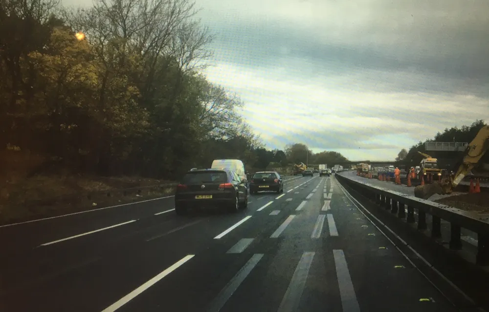
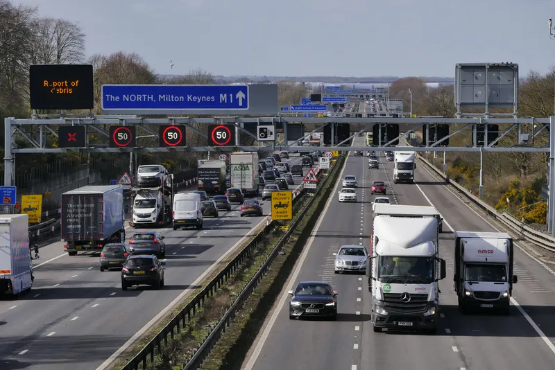
The agency manages England’s Strategic Road Network that takes in motorways and some major A-class highways – a total of 7,240km. The SRN is the most heavily used part of England’s roads, carrying a third of all traffic and two-thirds of all freight, according to the agency.

Upon its launch, RIS2 committed the central government to spend €32.02 billion (US$34.5 billion) on building new roads as well as road improvements to “reduce the negative impacts of the existing SRN” and “make the network safer, more reliable and more sensitive to the places through which it runs”.

The Lower Thames Crossing and the Stonehenge Tunnel are among the major projects that the agency wished to start by 2025. But due to planning hold-ups, the schemes have been moved forward to what will be RIS3, the next funding regime up to 2030.

The ORR will consider whether National Highways is meeting its performance target metrics and if it has done enough to reach them. Despite the investigation, though, ORR has said that National Highways has achieved many of its aims and delivered improved roads.

For more information on companies in this article

Related Content

  • Highways England tests ghostbusters
    March 9, 2021
    Highways England is testing seven new road marking products as part of a major international project to rid road surfaces of confusing ghost markings
  • Rural Roads for Development: a chat with Dr Michael Burrow
    October 8, 2019
    For the last seven years the University of Birmingham has been organising – together with IRF (Geneva) the Rural Roads for Development course in Birmingham. The week-long course is very much a hands-on course delivered by experts from around the world on a topic of relevance to the sustainable provision of rural roads. Ahead of this year course edition which will be hosted on 9-13 September, Dr Michael Burrow from Birmingham University answered key questions about rural transport. Q: How can improved rur
  • Platooning presentation for the UK’s Microlise Transport Conference
    April 10, 2018
    The Transport Research Laboratory (TRL) will present findings from the UK’s platooning truck trials at the Microlise Transport Conference next month in the UK. The presentation will include an assessment of the effects of fuel use, harmful tailpipe emissions, congestion and road safety. The trial, according to Rob Wallis, TRL’s chief executive officer, aims to provide an independent impact assessment and to quantify possible benefits and drawbacks of the technology.
  • Bluesky Aerial Mapping sees the trees and not the forest
    February 6, 2017
    Scientists at the University of Lancaster in England are using 3D data produced by Bluesky to refine a tree failure-risk model Pinpointing trees that might collapse onto roads and other infrastructure currently uses complex wind analysis techniques to assign a level of risk to individual trees. The data is Bluesky’s UK National Tree Map, laser mapped 3D height models, colour infrared (CIR) data and soil data. It will help identify individual trees and their proximity to roads as well as electricity insta