New York Mayor Bloomberg has unveiled a new, technology-based traffic management system that allows city traffic engineers to monitor and respond to Midtown Manhattan traffic conditions in real time, improving traffic flow on the city’s most congested streets.
New York Mayor Bloomberg has unveiled a new, technology-based traffic management system that allows city traffic engineers to monitor and respond to Midtown Manhattan traffic conditions in real time, improving traffic flow on the city’s most congested streets.
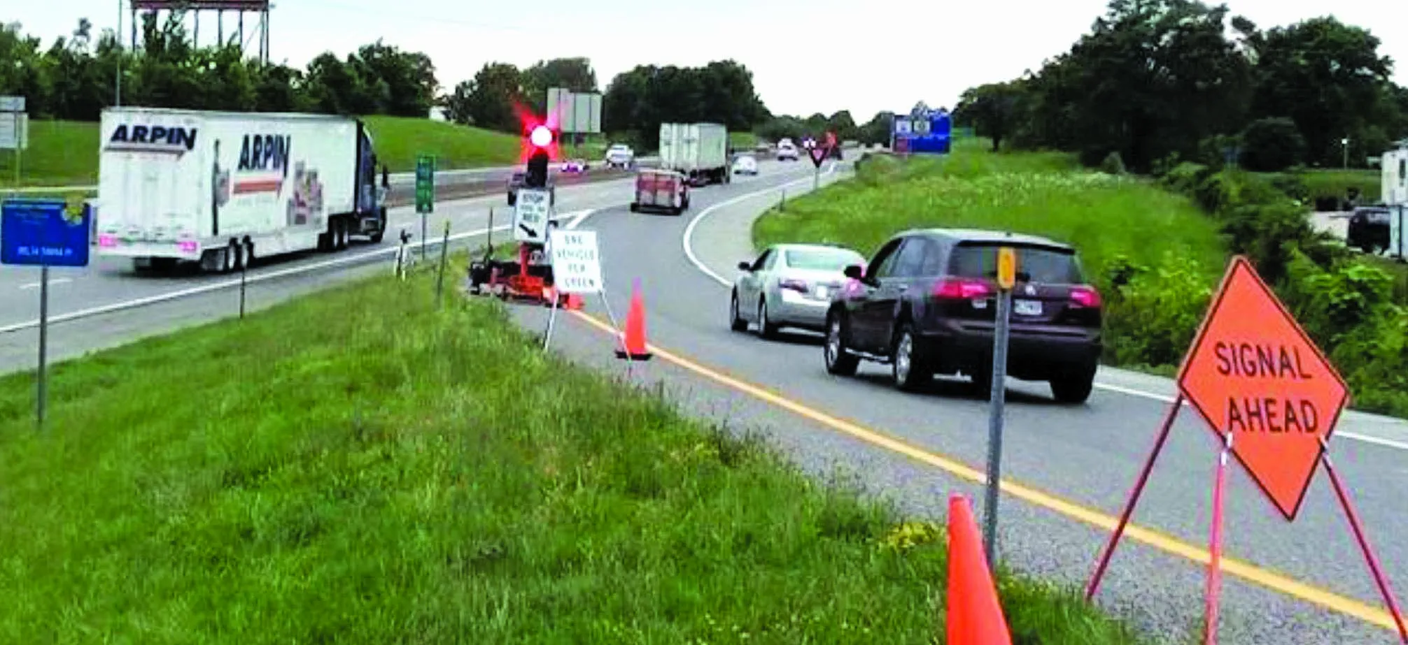
The system, called Midtown in Motion, includes 100 microwave sensors, 32 traffic video cameras and E-ZPass readers at 23 intersections to measure traffic volumes, congestion and record vehicle travel times in the approximately 110-square block area bound by Second to Sixth Avenues and 42nd to 57th streets. The combined data is transmitted wirelessly to the city’s traffic management centre in Long Island City, allowing engineers to quickly identify congestion choke points as they occur and remotely adjust Midtown traffic signal patterns to clear traffic jams.
Department of Transportation engineers are using recently upgraded traffic signal control systems to adjust the traffic lights. The real-time traffic flow information will be made available to motorists and to app developers for use on PDAs and smart phones. The wireless system is made possible through the use of the New York City Wireless Network (NYCWiN) – a wireless network developed and managed by the Department of Information Technology and Telecommunications.
“We are now using the most sophisticated system of its kind in the nation to improve traffic flow on the city’s most congested streets – Midtown Manhattan,” said Mayor Bloomberg. “The technology will allow traffic engineers to immediately identify congestion choke points as they occur and remotely alter traffic signal patterns to begin to clear up Midtown jams at the touch of a button.”
Earlier generations of traffic signals only could be reliably set to adjust to preset signal patterns based on the time of day, leaving limited ability to respond to crashes, construction, special events like the UN General Assembly and times when congestion saturates the network, causing backups that block cross streets and crosswalks. Depending on the traffic situation, traffic lights can be adjusted to provide a more even distribution of traffic entering Midtown so that already congested areas do not become oversaturated, or priority can be given to clearing isolated backups resulting from breakdowns, fender-benders or double-parked vehicles. On the avenues, engineers can switch more easily between a simultaneous signal pattern, where all the signals on the avenue turn green or red at the same time, and a traffic signal progression, which lets vehicles travelling at the speed limit encounter green lights as they drive along a corridor. The system lets engineers use the more effective pattern based on measured traffic conditions.
The Midtown in Motion program included the installation of turn lanes to 53 intersections, allowing vehicles to turn from cross town streets onto the avenues without blocking an entire lane of through-traffic, and added turn signals at 23 of these intersections to allow turning vehicles to do so more safely without conflicting with pedestrians. Planning and installation of Midtown in Motion components began last summer, and was in addition to ongoing technology upgrades to the city’s traffic signal system. The total cost for installation of the system was $1.6 million.