Iteris fuses video and radar

Iteris has announced Vantage Vector, the latest addition to its portfolio of Vantage vehicle detection solutions. The new device, which fuses the company's proven video detection with radar sensor technology to extend the range and richness of detection data, will begin shipping in the first quarter of 2012.
May 2, 2012 Read time: 2 mins
253 Iteris has announced Vantage Vector, the latest addition to its portfolio of Vantage vehicle detection solutions. The new device, which fuses the company’s proven video detection with radar sensor technology to extend the range and richness of detection data, will begin shipping in the first quarter of 2012.

Vantage Vector is an all-in-one vehicle detection sensor with a wide range of intersection sensing capabilities, including stop-bar and advanced zone detection, as well as sensing properties that enable new safety and adaptive control applications. Iteris says that its radar sensing capabilities offer high precision for ‘dilemma zone’ detection and provides richer data that enables an exciting new range of speed-related intersection safety functions. The enhanced information includes position and speed of individual vehicles.

According to Abbas Mohaddes, Iteris president and CEO, “This premium product is based on sensor fusion by combining video and radar, and was developed for agencies that require enhanced detection for select applications. We expect the use of sensor fusion technology to contribute to the broader and more rapid adoption of video detection.”

In addition to its detection capabilities, Vantage Vector provides a robust graphical user interface for simple radar set-up, while maintaining the video configuration process familiar to existing Vantage users. Easy communication with the sensor unit from the roadside cabinet is accomplished with standard Wi-Fi connectivity, while its design, colour, and mounting effectively blend the sensor into its surroundings.

For more information on companies in this article

Related Content

  • Improved machine systems from Curtiss-Wright
    June 28, 2017
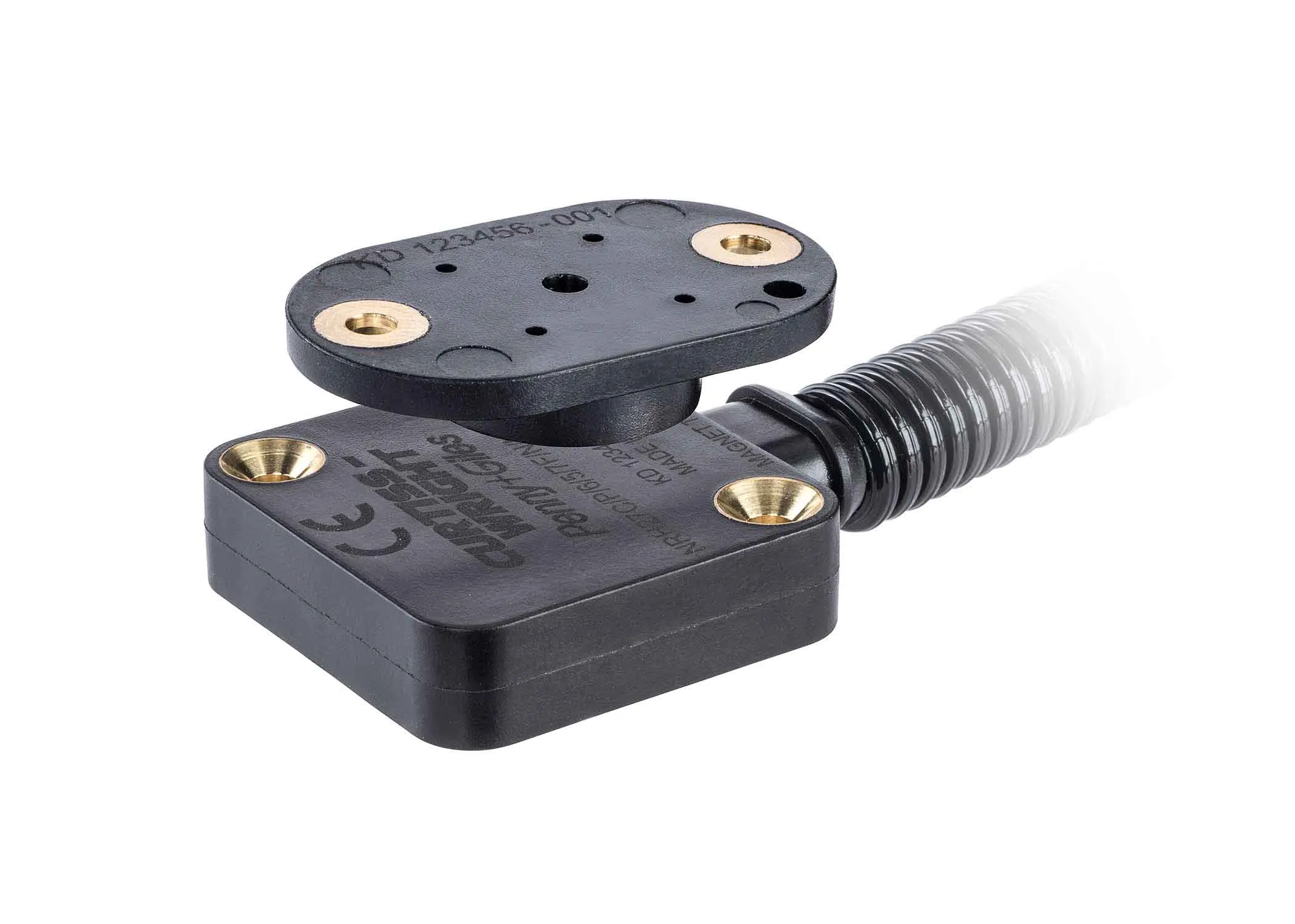
    Curtiss-Wright’s Industrial division is launching the NRH27C, a non-contact rotary position sensor suited for use on off-highway vehicles with CANbus communications. Developed by Curtiss-Wright’s legacy brand of Penny & Giles, the NRH27C extends the company’s recently-introduced NRH271 and NRH272 family and shares many similar features and benefits. These include a low-profile sensor body, small footprint, CANbus J1939 communications and a fully encapsulated, IP69K-rated design that offers exceptional perfo
  • Econolite to distribute RTMS radar product line throughout North America
    April 24, 2012
    Image Sensing Systems (ISS) has amended its agreement with its long-time partner, Econolite Control Products, to expand the exclusive North American manufacturing and distribution agreement to include the RTMS radar product line effective in 2012 after a short transition period.
  • Advances in concrete paving materials
    July 9, 2012
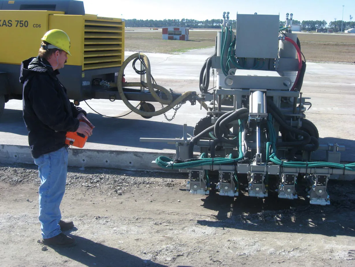
    Innovations in materials technology, as well as machines, could provide a major boost to the concrete paving sector - Mike Woof reports Development of new material technologies for the concrete paving sector continues apace and the latest innovations could provide the biggest boost for this market in many years. High performance cementitious material (HPCM) is an innovative concept that has been developed and tested for road surfacing applications as part of a project in which the UK's Transport Research La
  • Leica Geosystems introduces smart monitoring of structures
    October 1, 2014
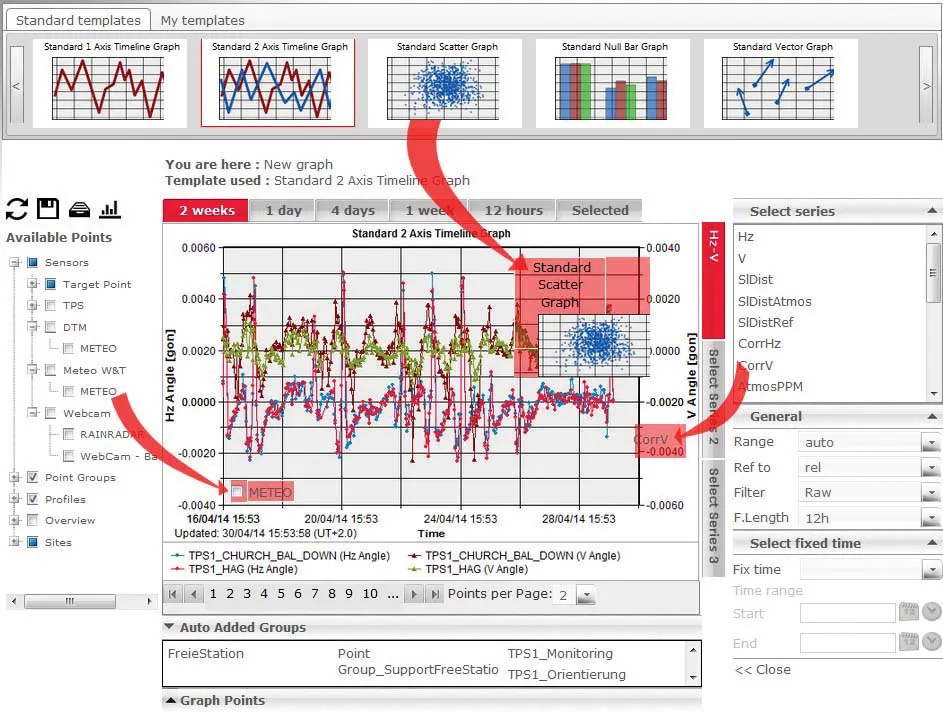
    Highly sophisticated, the Leica GeoMoS Now! From Leica Geosystems is a new web-based application enables on-the-go visualisation and analysis of structural and ground movement monitoring data. With this package, large quantities of geodetic and geotechnical data are said to be easier to handle with simplified workflows using automatic configuration and distribution tools. The package can quickly notify users of any changes in data for faster, more informed responses. Leica GeoMoS Now! allows users t