International Road Dynamics it teaming up with Canada’s University of Manitoba and Canada’s National Research Council to develop a truck-traffic and road-weather monitoring facility.
The participating groups say the project is the first of its kind in Canada. Data collection equipment will be developed and deployed by IRD and the University of Manitoba’s civil engineering department. The NRC is the principal funder of the project.
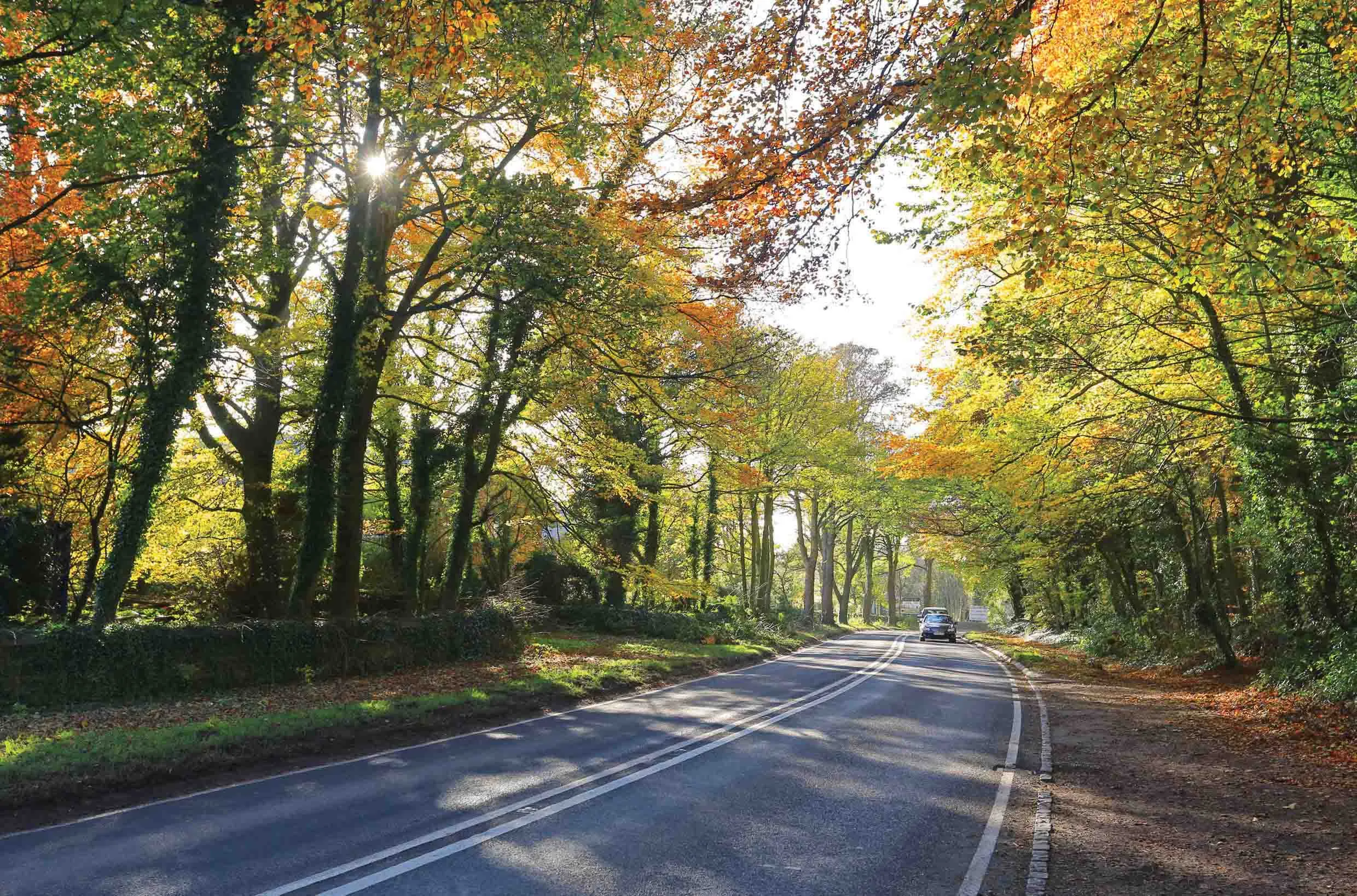
Major industries in the region include agriculture, petroleum, forestry and mining which need a reliable and safe road freight transport system. But the region’s roads are subject to extreme seasonal changes, making them prone to risks and hazards that can disrupt the overall supply chain. With limited public sector dollars available for road development, governments are turning to tech-enabled solutions to help make better-informed investment, maintenance and response decisions related to their infrastructure.
The project’s goal is to improve the resilience of the road network that often traverses remote sparsely populated areas and which is used mostly by commercial trucks. In 2017, trucking accounted for 55% of total merchandise exports by value in the region.
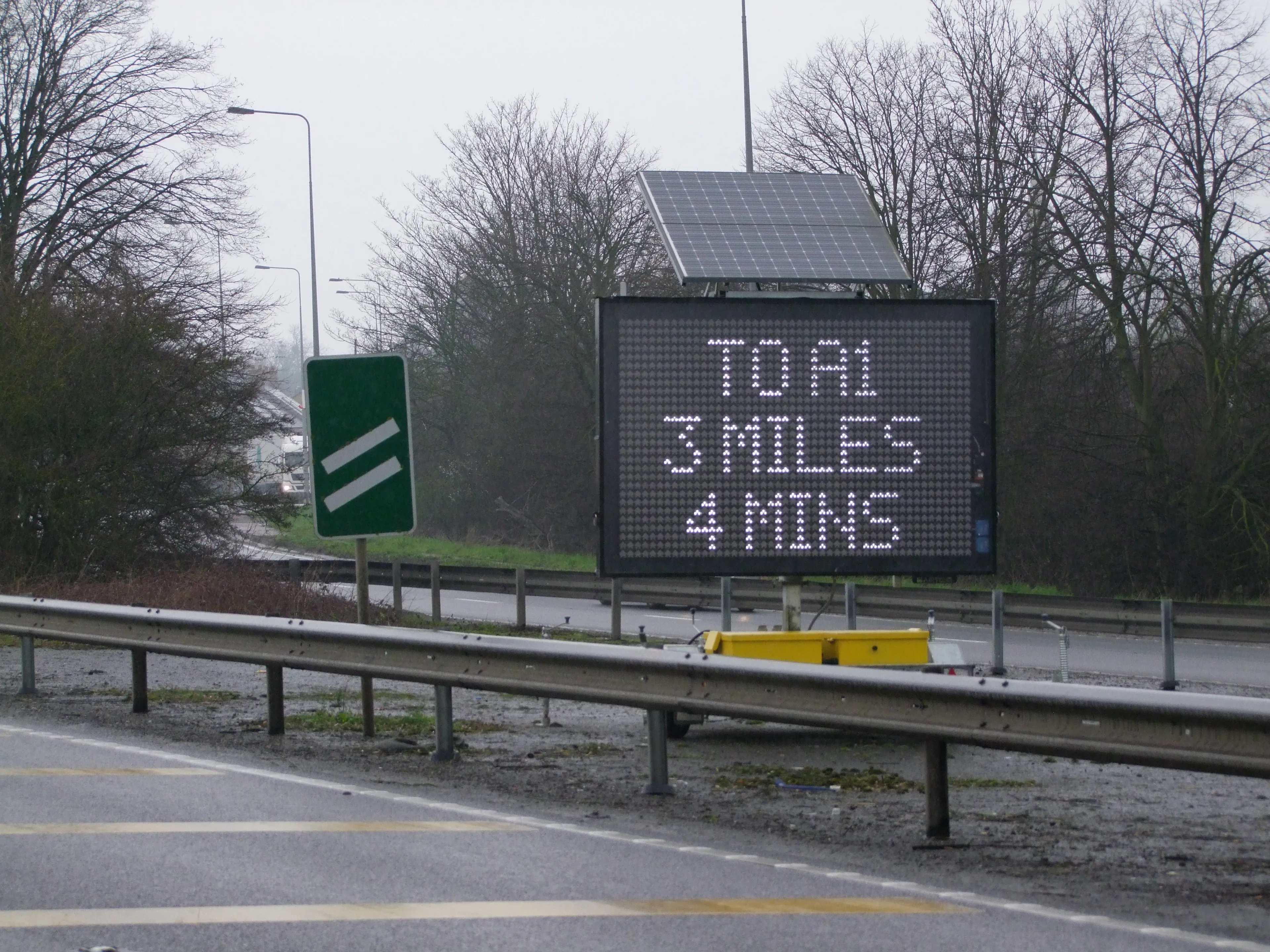
IRD and University of Manitoba’s civil engineering department are developing a mobile traffic and weather monitoring system that will be deployed throughout the region to capture data over five years. The data-capture equipment will be located on remote and northern roads in Manitoba, in particular at weigh-in-motion and truck traffic monitoring sites, to collect data at points previously out of reach, according to the NRC.
The aggregated data will form the basis of a transportation data vault that will enable multiple data-intensive investigations in the future.
Data vault modeling is a database modeling method designed to provide long-term historical storage of data collected from multiple systems. It is also a method of looking at historical data that deals with issues such as auditing, tracing of data, loading speed and resilience to change as well as emphasising the need to trace from where all the data in the database came.
Researchers at the NRC will use artificial intelligence, AI, to run scenario analysis on the data vault to assess the impact on highway networks from various types of risks and hazards. These include flooding, extreme weather, hazardous materials incidents and longer-term impacts related to climate change. Results from this analysis will better equip decision-makers to respond to one-time incidents as well as plan for more sweeping long-term environmental changes to preserve the resilience and reliability of the highway network.
“We are pleased to partner with UM and the NRC to advance these technologies and methods for mobile traffic data collection and analysis. Our work on this project will generate high-quality data that will inform far-reaching improvements to traffic planning, which will have a significant impact on how the transportation industry affects the economy and the people and communities it is meant to serve,” said Rish Malhotra, chief executive of IRD, based in Saskatoon in Manitoba’s neigbouring province of Saskatchewan.
“The findings from this project stand to benefit transportation planning and technology well beyond the Canadian prairies, creating potential new business opportunities for IRD both domestically and internationally.”
IRD and its subsidiaries Sensor Line, PAT Traffic and ICOMS Detections, supply intelligent transportation Systems to private corporations, transportation agencies and highway authorities around the world.
More information about the project is available on the National Research Council’s website by clicking here.