
Cutting congestion and improving transportation

CartoConsult is now working on a project to develop technology intended to reduce traffic congestion and improve transport services. This work forms part of a £4 million Department for Transport (DfT) initiative and the mapping software technology company has been selected by Swindon Borough Council, together with IT and networking company Cisco. This will be used to deliver an alert system for traffic managers to supply information on congestion.
March 1, 2017 Read time: 2 mins
A new project in Swindon should cut congestion and will then be rolled out across the UK

CartoConsult is now working on a project to develop technology intended to reduce traffic congestion and improve transport services. This work forms part of a £4 million Department for Transport (DfT) initiative and the mapping software technology company has been selected by Swindon Borough Council, together with IT and networking company 6258 Cisco. This will be used to deliver an alert system for traffic managers to supply information on congestion.

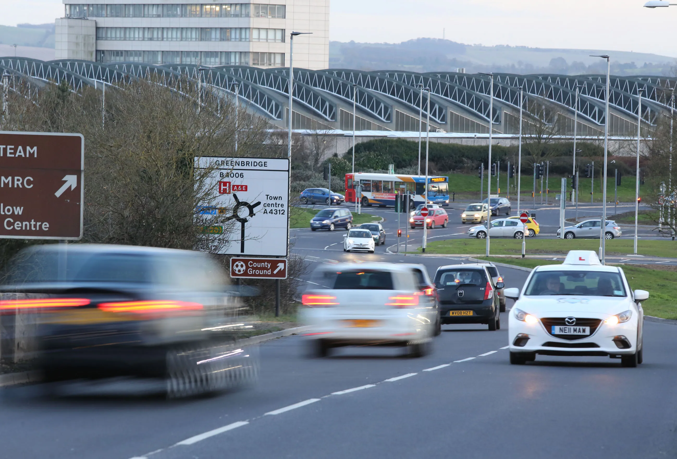
Swindon is one of 19 local authorities across England being asked to come up with ideas to improve journeys through digital innovation. The Government-funded scheme will use the latest technology to transmit real-time traffic information to road users, such as delivery drivers, including those making just-in-time deliveries to companies such as BMW and Honda.

It is predicted traffic congestion could cost the UK economy more than £300 billion over the next 10 years. Funded under the DfT’s Cooperative-Intelligent Transport Systems (C-ITS) and Smart Infrastructure Competition, CartoConsult will use the latest innovations in mapping and the Internet of Things (IoT) to help improve traffic management on key routes in Swindon. Roadside monitoring equipment on these routes will send real-time information out to businesses, bus companies and road users. The pilot scheme will include trials of methods to get information to drivers in their vehicles, using sat-navs and other in-vehicle equipment, so they can plan and adjust journeys to suit the traffic conditions.

Collected data will be used to inform future road schemes and enable Council highways teams to respond more quickly to incidents as they occur.  The project provides live data from a much larger sample of traffic compared with existing traffic update systems, and allows the latest technology to be tested to identify if it would be of benefit for the highway network.

For more information on companies in this article

Related Content

  • Integrated corridor management offers transportation efficiency
    May 28, 2013
    In the Intelligent Transportation Systems world, the concept of managing roadway or transportation corridors is not new. Smart Corridor concepts have existed for some time, such as the Santa Monica Smart Corridor system from the 1990s. Across the world, a new emerging model for operating roadway transportation networks called integrated corridor management (ICM) has emerged. This is particularly true in California, where several new ICM projects have or are being deployed. There is a new paradigm for corrid
  • Gritty decisions need Smart Modelling
    April 11, 2022
    Mark Fisher, principal strategic consultant with Amey Consulting, explains how its data-led Smart Winter modelling improved a UK local government’s winter gritting efficiency by 18%.
  • Gritty decisions need Smart Modelling
    May 27, 2022
    Mark Fisher, principal strategic consultant with Amey Consulting, explains how its data-led Smart Winter modelling improved a UK local government’s winter gritting efficiency by 18%
  • A virtual virtuous circle
    March 19, 2021
    Virtual sensors will allow a safer driving experience and reduce road maintenance costs. Tactile Mobility’s Eitan Grosbard talks to David Arminas