Cutting congestion and improving transportation

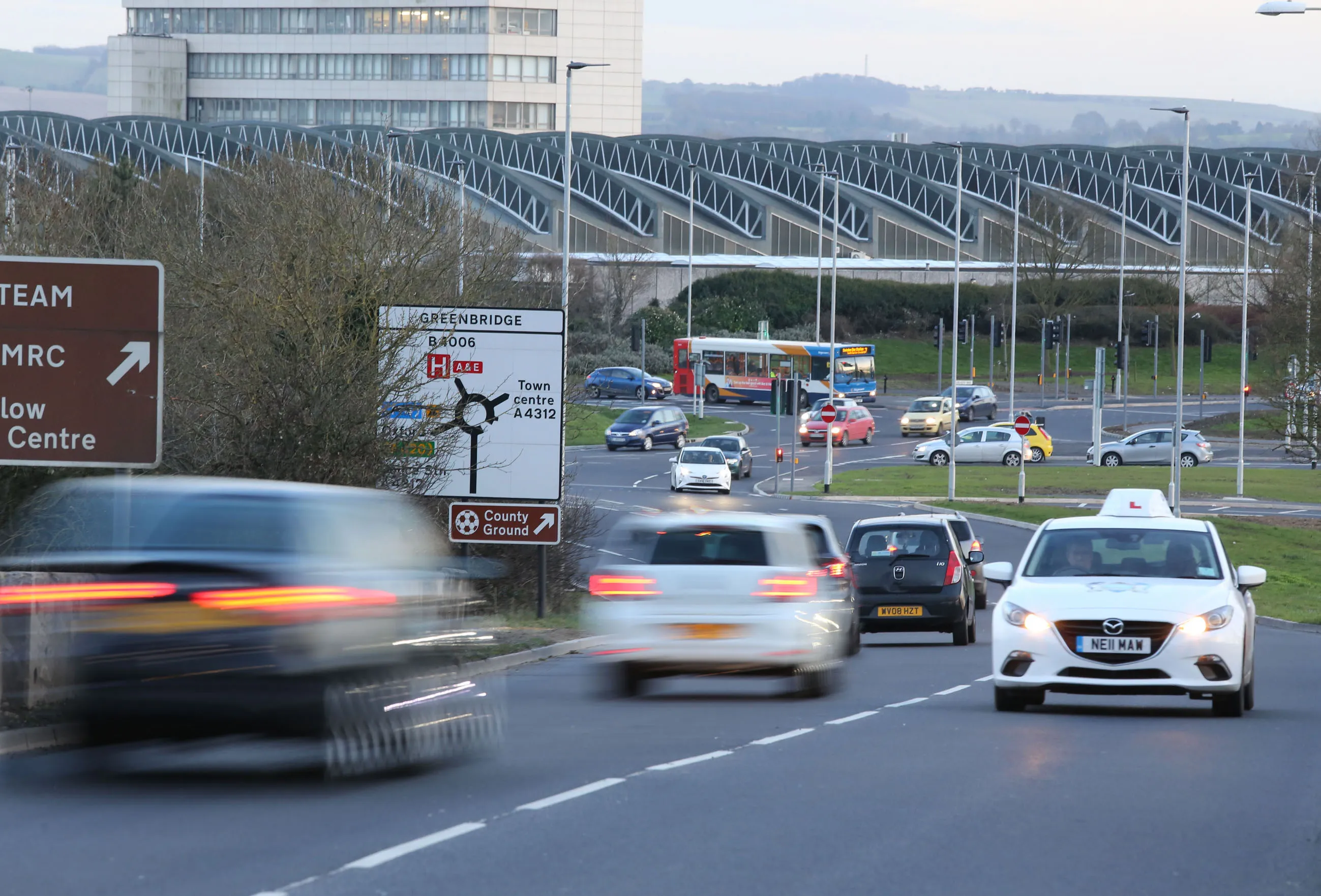
CartoConsult is now working on a project to develop technology intended to reduce traffic congestion and improve transport services. This work forms part of a £4 million Department for Transport (DfT) initiative and the mapping software technology company has been selected by Swindon Borough Council, together with IT and networking company Cisco. This will be used to deliver an alert system for traffic managers to supply information on congestion.
March 1, 2017 Read time: 2 mins
A new project in Swindon should cut congestion and will then be rolled out across the UK

CartoConsult is now working on a project to develop technology intended to reduce traffic congestion and improve transport services. This work forms part of a £4 million Department for Transport (DfT) initiative and the mapping software technology company has been selected by Swindon Borough Council, together with IT and networking company 6258 Cisco. This will be used to deliver an alert system for traffic managers to supply information on congestion.

Swindon is one of 19 local authorities across England being asked to come up with ideas to improve journeys through digital innovation. The Government-funded scheme will use the latest technology to transmit real-time traffic information to road users, such as delivery drivers, including those making just-in-time deliveries to companies such as BMW and Honda.

It is predicted traffic congestion could cost the UK economy more than £300 billion over the next 10 years. Funded under the DfT’s Cooperative-Intelligent Transport Systems (C-ITS) and Smart Infrastructure Competition, CartoConsult will use the latest innovations in mapping and the Internet of Things (IoT) to help improve traffic management on key routes in Swindon. Roadside monitoring equipment on these routes will send real-time information out to businesses, bus companies and road users. The pilot scheme will include trials of methods to get information to drivers in their vehicles, using sat-navs and other in-vehicle equipment, so they can plan and adjust journeys to suit the traffic conditions.

Collected data will be used to inform future road schemes and enable Council highways teams to respond more quickly to incidents as they occur.  The project provides live data from a much larger sample of traffic compared with existing traffic update systems, and allows the latest technology to be tested to identify if it would be of benefit for the highway network.

For more information on companies in this article

Related Content

  • Game-changing ideas that deliver daily life and continue to evolve
    December 14, 2016
    As World Highways celebrates its 25-year anniversary this month, we thought that it would be a good moment to take a step back and look at the exciting times we live and work in, and pick out a few of the game-changing new products, technologies and services that have brought about so much innovation in our industry over the past quarter of a century. Where will these new ways of thinking and working take us next? The global highways market has been transformed in the lifetime of World Highways by high-v
  • Weigh-in-motion key to maximising road life
    February 24, 2012
    The market and technology for weigh-in-motion systems continues to evolve – Mike Woof writes. for both mature and developing highway infrastructure networks, traffic densities play an important role in determining road wear and life. Monitoring traffic volumes and individual vehicle weight is crucial for ensuring roads can cope in the long term and that maintenance can be planned, while the problem of overloading can be eliminated.
  • Cutting road crashes to save lives
    December 29, 2023
    Cutting road crashes can help save lives in the UK.
  • Decarbonising transport
    January 7, 2025
    Decarbonising transport with digital twins