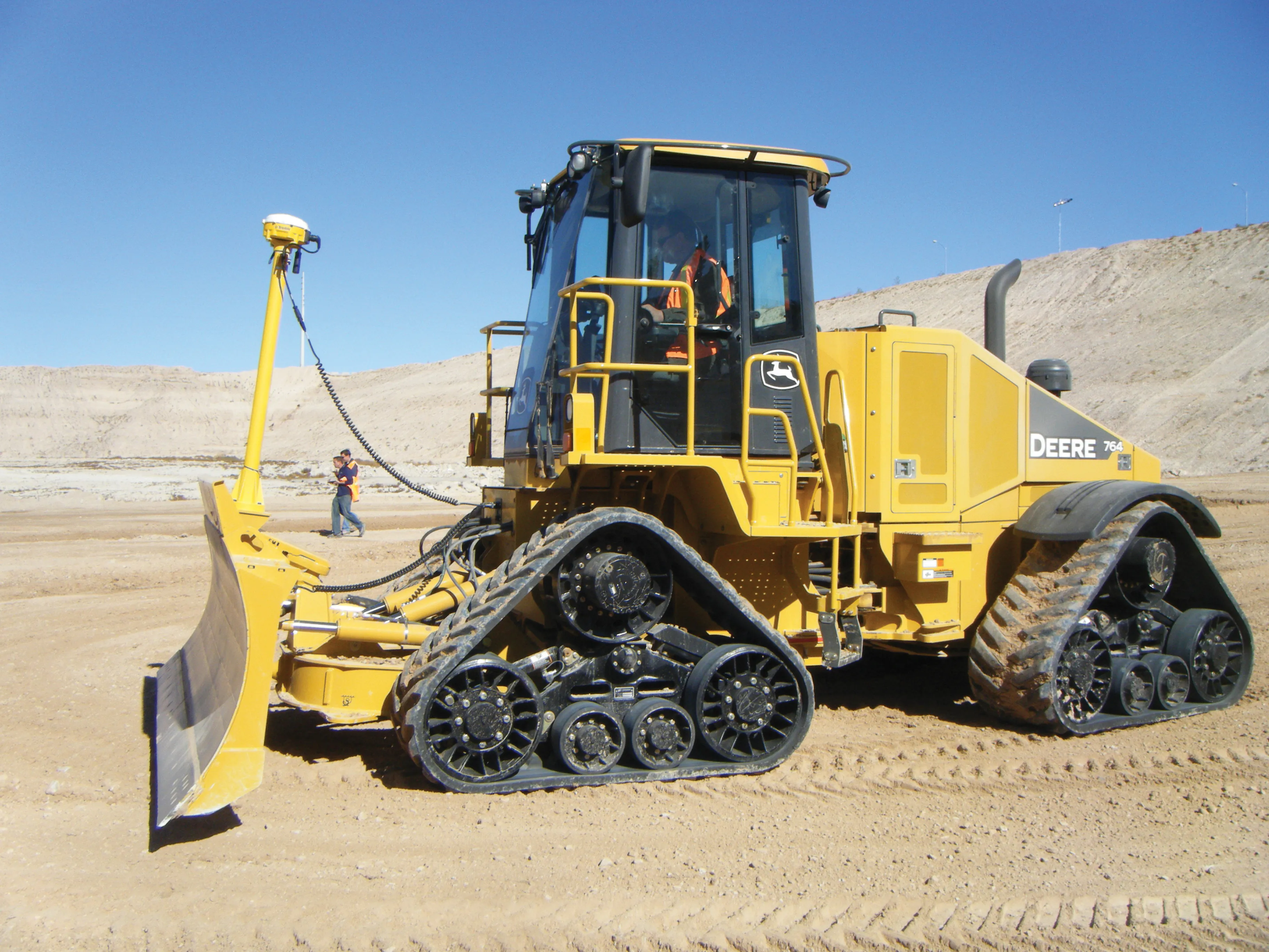
Managing utility works effectively is important, given that digging up roads and then patching them can dramatically cut the life of a road surface. New software tools make this process easier to manage effectively and Bentley Systems is extending its Expert Designer V8i package to include water, gas, and communications infrastructure, in addition to electric utilities. This allows utility firms and engineering contractors using Expert Designer V8i to boost the efficiency of utility network design projects.
Managing utility works effectively is important, given that digging up roads and then patching them can dramatically cut the life of a road surface. New software tools make this process easier to manage effectively and Bentley Systems is extending its Expert Designer V8i package to include water, gas, and communications infrastructure, in addition to electric utilities.
This allows utility firms and engineering contractors using Expert Designer V8i to boost the efficiency of utility network design projects. The new package includes functions for design layout, work-order management, estimating, optimisation, structural analysis, job close-out, process measurement and a detailed audit trail.
MeanwhileA new Information Manager dashboard tool from
Meanwhile the new Mobile Street Works package can also be integrated with
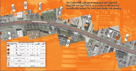
SignCAD Systems says that its ConeZONE design module offers an economic software solution for designing safe temporary work zones. The package can deliver automated, compliant work zone design and management solutions for all road construction applications.
The ConeZONE package can be used to develop layouts of work zones based on state requirements and provide accurate layouts that comply with US standards for traffic control devices on all streets and highways. Once the user has selected MUTCD work zone type and parameters, it is possible to load a state base map or an aerial photograph of work zone and the program will automatically plot devices and spacing intervals. The software also allows work zone planners to modify for road conditions and safety aspects with dynamic updates, manage stages and phases of multiple projects, track and manage devices in work zones and co-ordinate information among agencies, contractors and engineers.