New initiatives could boost transport sustainability – David Crawford writes. New roles are opening up for urban traffic management systems in helping city authorities to meet increasingly stringent governmental and supra-governmental air quality standards. European local authorities are typically tasked with both traffic management and pollution monitoring within their areas, making them well placed to draw on the latter to mitigate the impacts of the former.
RSS
They are helped by the fact that the increasing availability of urban environmental pollution data (EPD) is enabling them to take more proactive roles in developing traffic management strategies to deliver more sustainable cities. As it is, too many of these are regularly exceeding European air quality limit values for PM10 and NO2, with vehicle emissions identified as consistently among the worst contributors.
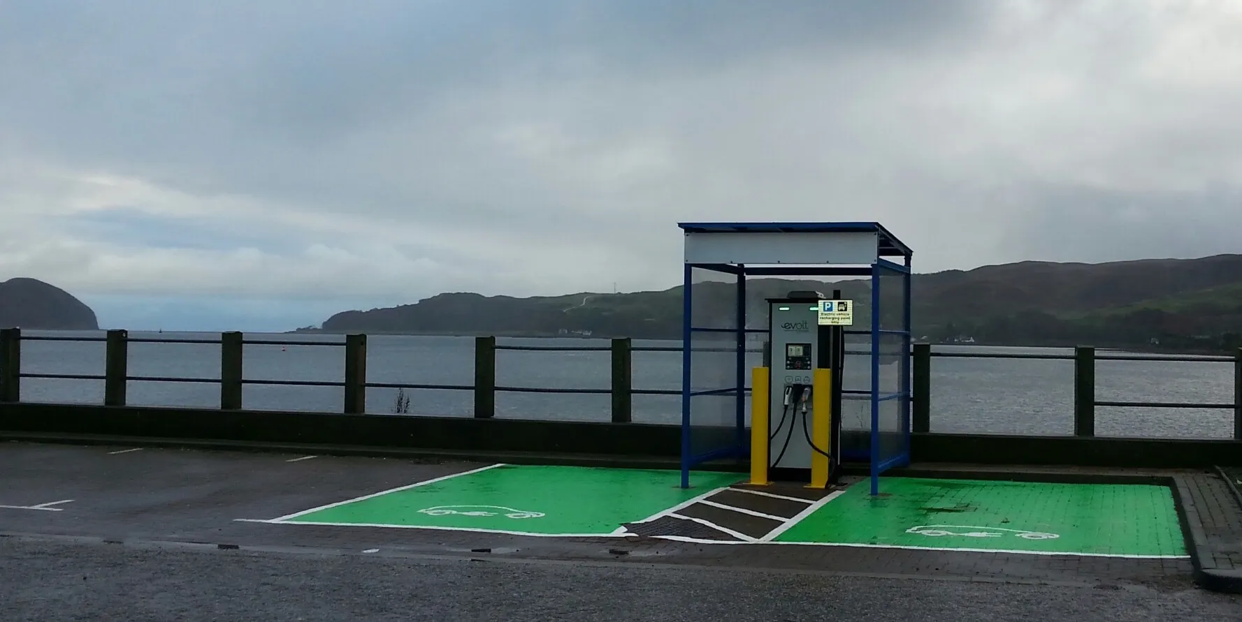
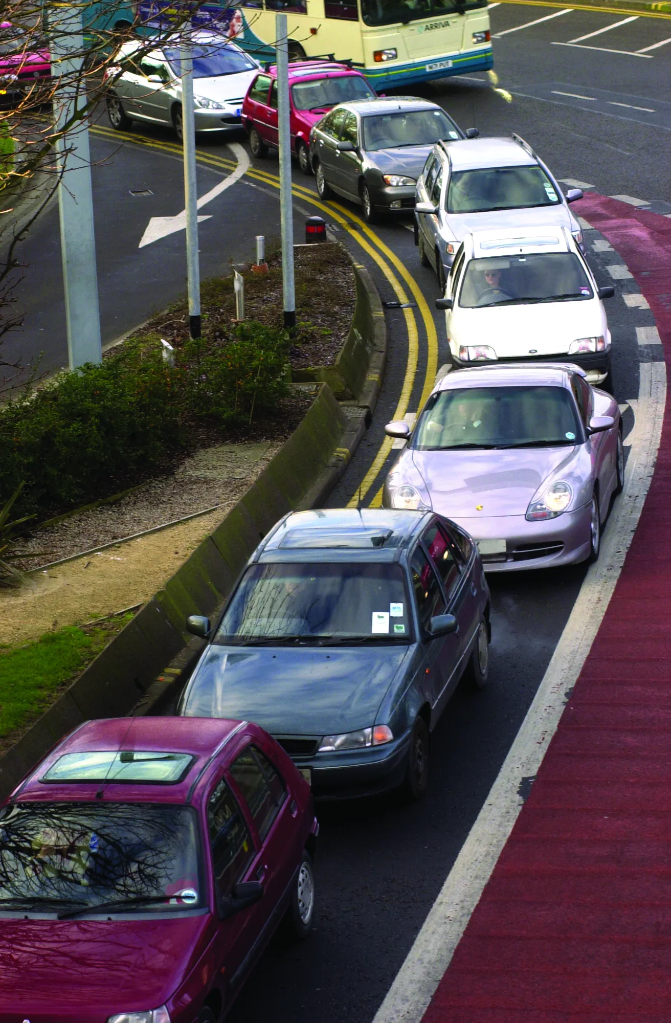
The result is the emergence of mitigating measures ranging from time- or vehicle category-based traffic bans and speed limits to advanced technology-based systems such as the typically ANPR camera-enforced low emission zones now operating in cities across Europe. Current developments involve truck speed limiting made attractive by traffic signal priority rewards, and environmental traffic management systems (ETMS), designed to integrate data on flows and current air pollution levels along major traffic routes.
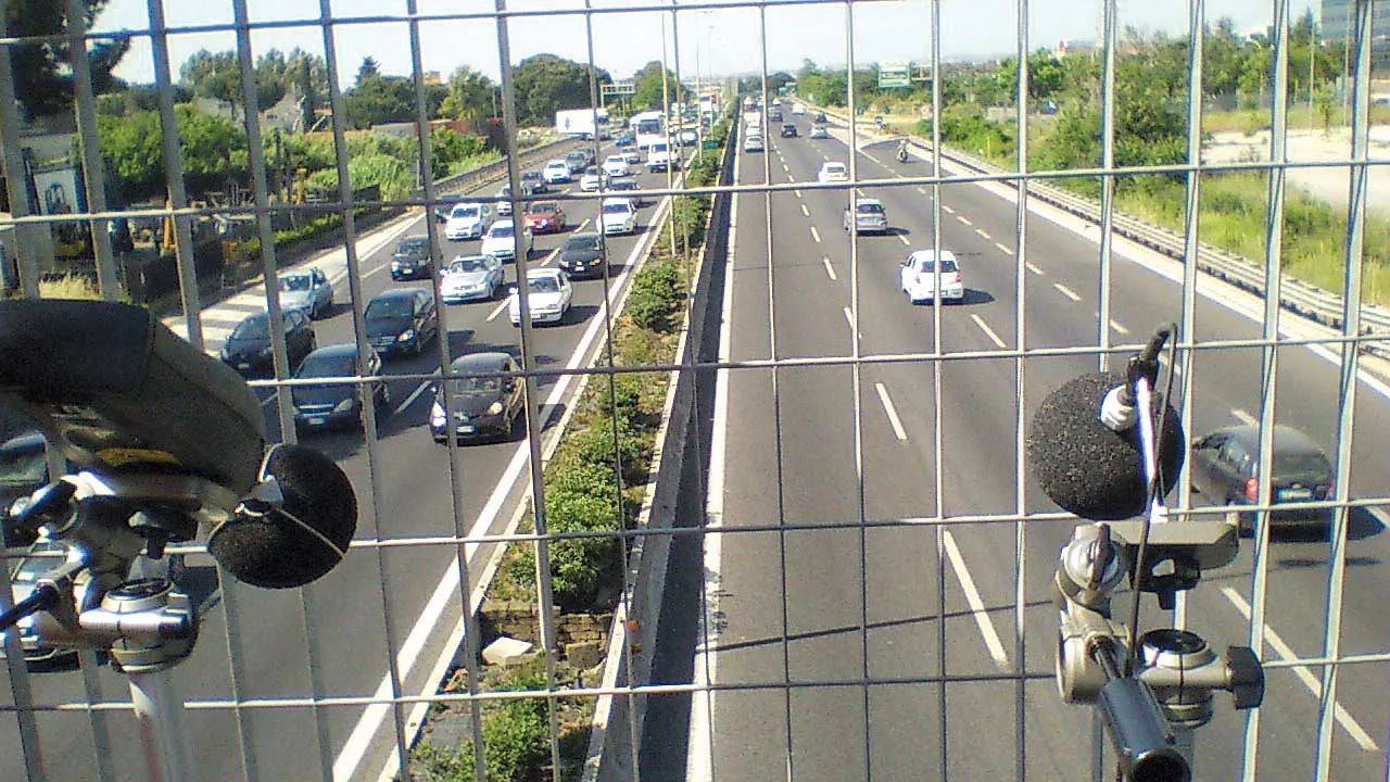
The problem for these is that measured air quality data is rarely detailed enough, since formal air quality monitoring stations can only assess conditions at the point of measurement and do not give information on the spatial distribution of pollutants. The highest levels of these are within street canyons along major roads, where concentrations vary from segment to segment according to traffic flows and dispersion conditions.
These factors are introducing opportunities for systems that model environmental conditions along urban road corridors. German company IVU Umwelt, for example, has developed its IMMIS real-time air quality (and noise) monitoring system which integrates measurements from air quality stations (for background concentrations) with online traffic and weather data to calculate emissions at given points on a micro-scale basis.
An early deployment in the city centre of Berlin, under the joint Berlin/Brandenburg iQ mobility project, used as a basis the Leipziger Strasse street canyon which carries around 42,000 vehicles/day. Rises in NOx concentrations correlated closely with observed increases in the incidence of stop-go traffic resulting from congestion. Following the introduction of targeted traffic measurement, analysis of the EPD collected indicated a reduction in the mean concentration of NOx by10.2% and of PM10 by 4.2%. The system is now being extended to cover the entire city with coverage of 116km of major roads.
Implementation in the neighbouring community of Potsdam is imminent; further ahead in the planning pipeline is another German city, Cologne. A pilot here using ETMS scenarios has already shown the potential for reducing NO2 concentrations by between 6% and 9%. The system is mainly driven by traffic data, with each street segment (described in terms of width, height and porosity - ie the gaps between buildings) being characterised by a default traffic situation. This is regularly updated to reflect changes in traffic flow speeds.
The dispersion models build in meteorological data - on temperature, wind speed and direction, and stability. (In a warning note on the importance of wide-scale planning, IVU Umwelt stresses the importance of assessing the potential effects on the surrounding road network to avoid inducing new hot spots by eliminating existing ones).
In the UK, an estimated 24,000 people die prematurely every year from short-term exposure to air pollution, with thousands more being hospitalised. Estimates attribute some 95% of measured NO2 emisions to road traffic. The pioneering Integrated Traffic Management and Air Quality Control Using Space Services (iTRAQ) project is drawing on space as well as ground-derived data to develop a dynamic, air quality-oriented traffic management system. Part of the European Space Agency’s Integrated Applications Programme, this started in January 2011 in the low-lying English Midlands city of Leicester which suffers from unusually high levels of pollution and has been measuring its air quality since the 1950s.
The current stage one is a one-year feasibility study to develop a system concept around the existing operational traffic control system in use in Leicester, augmented with traffic flow and air quality information and near real-time data from space as well as in-situ measurements. Stage two, planned to start before end-2011, involves a demonstration which is designed to attracted interesty from other interested local authorities. (The iTRAQ developers envisage a target market of medium-sized towns with populations of 200,000 and above).
Funded by the5945 European Space Agency’s Integrated Applications Programme with UK geo-information services specialist 4094 Astrium as lead partner, the project is combining output from global navigation satellite systems (GNSS) with air quality detection using both earth observation (EO) and global monitoring for environment and security (GMES) technologies. Other partners are 4092 Leicester City Council, 4093 De Montfort University and the 4091 University of Leicester.
The ultimate aim is to create a new strategic-level operational link between air quality levels and urban traffic management, with the iTRAQ system delivering near-realtime (NRT) advice to local authorities on what their responses should be to pollution surges. In a fully-developed form, iTRAQ will route NRT guidance on desirable traffic flows direct to traffic signals or variable message signs (VMS) for regulatory action, using computational intelligence algorithms.
A key element is the Swedish-developed AIRVIRO web-based air quality measurement and dispersal calculation tool, which takes in road traffic data from Leicester’s SCOOT-based urban traffic and control (UTC) system and meteorological data from the city’s weather station. (A new feature developed during 2011 makes possible the concentration of computational resources on defined emission sources for modelling, such as roads). The Leicester AIRVIRO model makes its dispersion calculations using multiple data for increased accuracy, as models give poor results if emissions are erroneously specified.
The medium-sized Dutch city of Helmond, near Eindhoven, is adopting a different approach by focusing on controlling heavy truck movements to help meet its air quality plan targets. It is deploying new technology aimed at achieving better truck traffic flows and so reductions in both fuel use and the resulting CO2 emissions.
The system has been developed within the EU-supported Urban FREight Energy Efficiency PiLOT (FREILOT) project with traffic technology specialists3314 Peek Traffic and locally-based haulier 5944 Van den Broek Logistics as partners. The trucks are fitted with a Peek Traffic intersection priority system, which interfaces with the city’s UTOPIA (Urban Traffic Optimisation by Integrated Automation) signal control network and is linked to on-board speed limiting and acceleration monitoring equipment.
These enable the system to respond to the effects of speed and acceleration in increasing fuel consumption and hence emissions. In typical urban conditions, acceleration is the more important as a fuel-hungry component of continuous stop-go driving cycles, accounting for up to a third of overall fuel consumption. The scheme’s acceleration and speed limiting elements are targeted at HGVs on urban delivery rotas that experience the need for continuous numerous changes of speed during the course of the day. The aim is to compensate for a vehicle taking longer to reach its cruising speed by giving it green signals at upcoming traffic signals.
The system makes use of the city’s existing speed limits, and encourages compliance with these by integrating with trucks’ own engine management systems. An inbuilt eco-driving component equips drivers with a dashboard display giving them continuous updates on their acceleration status, normal and actual fuel consumption and driving performance. Poor scores trigger messages urging better behaviour.
The trial route runs along the N270 through the centre of Helmond, carrying some 30,000 vehicles/day (2,000 of them trucks), with 14 UTOPIA-controlled intersections.
The scheme is now in its pilot deployment phase. Says Gert Blom, Strategic Advisor, Mobility to the city of Helmond: “We are very confident that the system will contribute positively to our air quality and traffic management objectives, and are preparing with our stakeholders for the after-pilot continuation”. In December 2011, Peek Traffic launched its resulting commercialised Cooperative ITS-Platform, comprising roadside and in-vehicle communication platforms and a web-based tool for system management and configuration. RSS
New initiatives could boost transport sustainability – David Crawford writes.
New roles are opening up for urban traffic management systems in helping city authorities to meet increasingly stringent governmental and supra-governmental air quality standards. European local authorities are typically tasked with both traffic management and pollution monitoring within their areas, making them well placed to draw on the latter to mitigate the impacts of the former.They are helped by the fact that the increasing availability of urban environmental pollution data (EPD) is enabling them to take more proactive roles in developing traffic management strategies to deliver more sustainable cities. As it is, too many of these are regularly exceeding European air quality limit values for PM10 and NO2, with vehicle emissions identified as consistently among the worst contributors.
The result is the emergence of mitigating measures ranging from time- or vehicle category-based traffic bans and speed limits to advanced technology-based systems such as the typically ANPR camera-enforced low emission zones now operating in cities across Europe. Current developments involve truck speed limiting made attractive by traffic signal priority rewards, and environmental traffic management systems (ETMS), designed to integrate data on flows and current air pollution levels along major traffic routes.
The problem for these is that measured air quality data is rarely detailed enough, since formal air quality monitoring stations can only assess conditions at the point of measurement and do not give information on the spatial distribution of pollutants. The highest levels of these are within street canyons along major roads, where concentrations vary from segment to segment according to traffic flows and dispersion conditions.
These factors are introducing opportunities for systems that model environmental conditions along urban road corridors. German company IVU Umwelt, for example, has developed its IMMIS real-time air quality (and noise) monitoring system which integrates measurements from air quality stations (for background concentrations) with online traffic and weather data to calculate emissions at given points on a micro-scale basis.
An early deployment in the city centre of Berlin, under the joint Berlin/Brandenburg iQ mobility project, used as a basis the Leipziger Strasse street canyon which carries around 42,000 vehicles/day. Rises in NOx concentrations correlated closely with observed increases in the incidence of stop-go traffic resulting from congestion. Following the introduction of targeted traffic measurement, analysis of the EPD collected indicated a reduction in the mean concentration of NOx by10.2% and of PM10 by 4.2%. The system is now being extended to cover the entire city with coverage of 116km of major roads.
Implementation in the neighbouring community of Potsdam is imminent; further ahead in the planning pipeline is another German city, Cologne. A pilot here using ETMS scenarios has already shown the potential for reducing NO2 concentrations by between 6% and 9%. The system is mainly driven by traffic data, with each street segment (described in terms of width, height and porosity - ie the gaps between buildings) being characterised by a default traffic situation. This is regularly updated to reflect changes in traffic flow speeds.
The dispersion models build in meteorological data - on temperature, wind speed and direction, and stability. (In a warning note on the importance of wide-scale planning, IVU Umwelt stresses the importance of assessing the potential effects on the surrounding road network to avoid inducing new hot spots by eliminating existing ones).
In the UK, an estimated 24,000 people die prematurely every year from short-term exposure to air pollution, with thousands more being hospitalised. Estimates attribute some 95% of measured NO2 emisions to road traffic. The pioneering Integrated Traffic Management and Air Quality Control Using Space Services (iTRAQ) project is drawing on space as well as ground-derived data to develop a dynamic, air quality-oriented traffic management system. Part of the European Space Agency’s Integrated Applications Programme, this started in January 2011 in the low-lying English Midlands city of Leicester which suffers from unusually high levels of pollution and has been measuring its air quality since the 1950s.
The current stage one is a one-year feasibility study to develop a system concept around the existing operational traffic control system in use in Leicester, augmented with traffic flow and air quality information and near real-time data from space as well as in-situ measurements. Stage two, planned to start before end-2011, involves a demonstration which is designed to attracted interesty from other interested local authorities. (The iTRAQ developers envisage a target market of medium-sized towns with populations of 200,000 and above).
Funded by the
The ultimate aim is to create a new strategic-level operational link between air quality levels and urban traffic management, with the iTRAQ system delivering near-realtime (NRT) advice to local authorities on what their responses should be to pollution surges. In a fully-developed form, iTRAQ will route NRT guidance on desirable traffic flows direct to traffic signals or variable message signs (VMS) for regulatory action, using computational intelligence algorithms.
A key element is the Swedish-developed AIRVIRO web-based air quality measurement and dispersal calculation tool, which takes in road traffic data from Leicester’s SCOOT-based urban traffic and control (UTC) system and meteorological data from the city’s weather station. (A new feature developed during 2011 makes possible the concentration of computational resources on defined emission sources for modelling, such as roads). The Leicester AIRVIRO model makes its dispersion calculations using multiple data for increased accuracy, as models give poor results if emissions are erroneously specified.
The medium-sized Dutch city of Helmond, near Eindhoven, is adopting a different approach by focusing on controlling heavy truck movements to help meet its air quality plan targets. It is deploying new technology aimed at achieving better truck traffic flows and so reductions in both fuel use and the resulting CO2 emissions.
The system has been developed within the EU-supported Urban FREight Energy Efficiency PiLOT (FREILOT) project with traffic technology specialists
These enable the system to respond to the effects of speed and acceleration in increasing fuel consumption and hence emissions. In typical urban conditions, acceleration is the more important as a fuel-hungry component of continuous stop-go driving cycles, accounting for up to a third of overall fuel consumption. The scheme’s acceleration and speed limiting elements are targeted at HGVs on urban delivery rotas that experience the need for continuous numerous changes of speed during the course of the day. The aim is to compensate for a vehicle taking longer to reach its cruising speed by giving it green signals at upcoming traffic signals.
The system makes use of the city’s existing speed limits, and encourages compliance with these by integrating with trucks’ own engine management systems. An inbuilt eco-driving component equips drivers with a dashboard display giving them continuous updates on their acceleration status, normal and actual fuel consumption and driving performance. Poor scores trigger messages urging better behaviour.
The trial route runs along the N270 through the centre of Helmond, carrying some 30,000 vehicles/day (2,000 of them trucks), with 14 UTOPIA-controlled intersections.
The scheme is now in its pilot deployment phase. Says Gert Blom, Strategic Advisor, Mobility to the city of Helmond: “We are very confident that the system will contribute positively to our air quality and traffic management objectives, and are preparing with our stakeholders for the after-pilot continuation”. In December 2011, Peek Traffic launched its resulting commercialised Cooperative ITS-Platform, comprising roadside and in-vehicle communication platforms and a web-based tool for system management and configuration. RSS