Light and illumination equipment supplier Thorn Lighting, part of the Zumtobel Group, is to add a basic version of Lighting Reality's design and calculation simulation software to its products, initially for those sold in France and potentially across Europe.
Light and illumination equipment supplier 2907 Thorn Lighting, part of the Zumtobel Group, is to add a basic version of Lighting Reality's design and calculation simulation software to its products, initially for those sold in France and potentially across Europe.
The manufacturer will offer the program free-of-charge for its own products: other lighting makes and systems will be available if users choose to upgrade to the paid-for version of the software.
Lighting Reality managing director Tim Baosher says that the agreement gives it good scope to expand its world market. Some 95% of local authorities in the UK and many design consultants already use the software which is endorsed by the Institution of Lighting Engineers. It uses the software itself for training.
The Thorn arrangement in France joins several other limited licence users, including WRTL and CU Phosco in the UK and Industria in the Netherlands says2902 Savoy, which is aiming at global use.
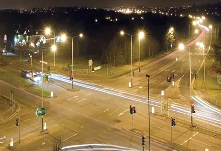
Internationalisation has been among priorities for the latest upgrades of the full software with new features in its Roadway and Outdoor modules. For roads, the main one is absolute photometry handling, an optimisation routine extension, user defined quality figures, and the ability to export the luminaire comparison table (CMP) as a CSV file.
The key work is on absolute files and when these are provided by the manufacturer, '-1' is now inserted into the flux part of the file. It allows Lighting Reality to determine lumen output and display the value in the normal way.
The 'Outdoor' module which might be used for car parks now has a facility for multiple grids with up to ten which can be defined using horizontal illuminance, vertical illuminance, or semi-cylindrical illuminance. It is also possible to use different grids covering the same area, but calculating different types of illuminance.
The manufacturer will offer the program free-of-charge for its own products: other lighting makes and systems will be available if users choose to upgrade to the paid-for version of the software.
Lighting Reality managing director Tim Baosher says that the agreement gives it good scope to expand its world market. Some 95% of local authorities in the UK and many design consultants already use the software which is endorsed by the Institution of Lighting Engineers. It uses the software itself for training.
The Thorn arrangement in France joins several other limited licence users, including WRTL and CU Phosco in the UK and Industria in the Netherlands says
Internationalisation has been among priorities for the latest upgrades of the full software with new features in its Roadway and Outdoor modules. For roads, the main one is absolute photometry handling, an optimisation routine extension, user defined quality figures, and the ability to export the luminaire comparison table (CMP) as a CSV file.
The key work is on absolute files and when these are provided by the manufacturer, '-1' is now inserted into the flux part of the file. It allows Lighting Reality to determine lumen output and display the value in the normal way.
The 'Outdoor' module which might be used for car parks now has a facility for multiple grids with up to ten which can be defined using horizontal illuminance, vertical illuminance, or semi-cylindrical illuminance. It is also possible to use different grids covering the same area, but calculating different types of illuminance.