In the coming age of the autonomous vehicle, fast and accurate LiDAR surveying will be increasingly important, explains Valdis Vanags*
The game-changing introduction of autonomous vehicles relies not only on intelligent traffic systems but well maintained roads to help computer-guided systems navigate using road markings. Laser scanning technology, too, is a game changer when it comes to planning and executing many civil engineering projects, including transport network upgrades and smart city initiatives.
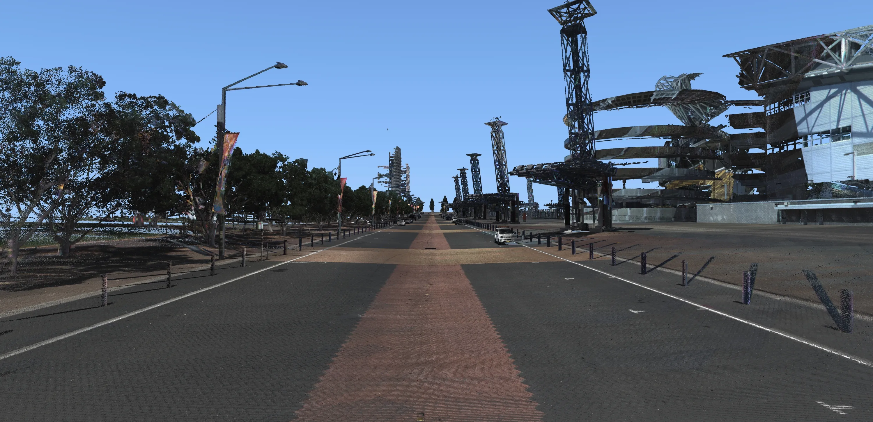
Creation of a virtual 3D model of a city grid makes it possible to analyse road conditions as well as plan engineering works with least disruption for highway users.
Many top surveying companies and local authorities around the world are using either LiDAR - light detection and ranging - systems to gather enhanced intelligence of local infrastructure or are commissioning surveys to study complex transportation systems in the form of a three-dimensional map.
Over the past year, the company 3D Laser Mapping has provided either LiDAR surveying services or products to surveying companies or government organisations in some of the world’s most populated cities.
LiDAR can collect around a million measurements per second by emitting light from a laser shot towards an object and calculating the amount of time it takes to for the light to return to the laser. When combined with an Inertial Measurement Unit (IMU) and GNSS positioning system, a point cloud with accuracies of under 7mm is created allowing surveyors to pinpoint problems or focal areas. This is particularly useful when planning construction or maintenance works down to the millimeter, without having the need to return to site.
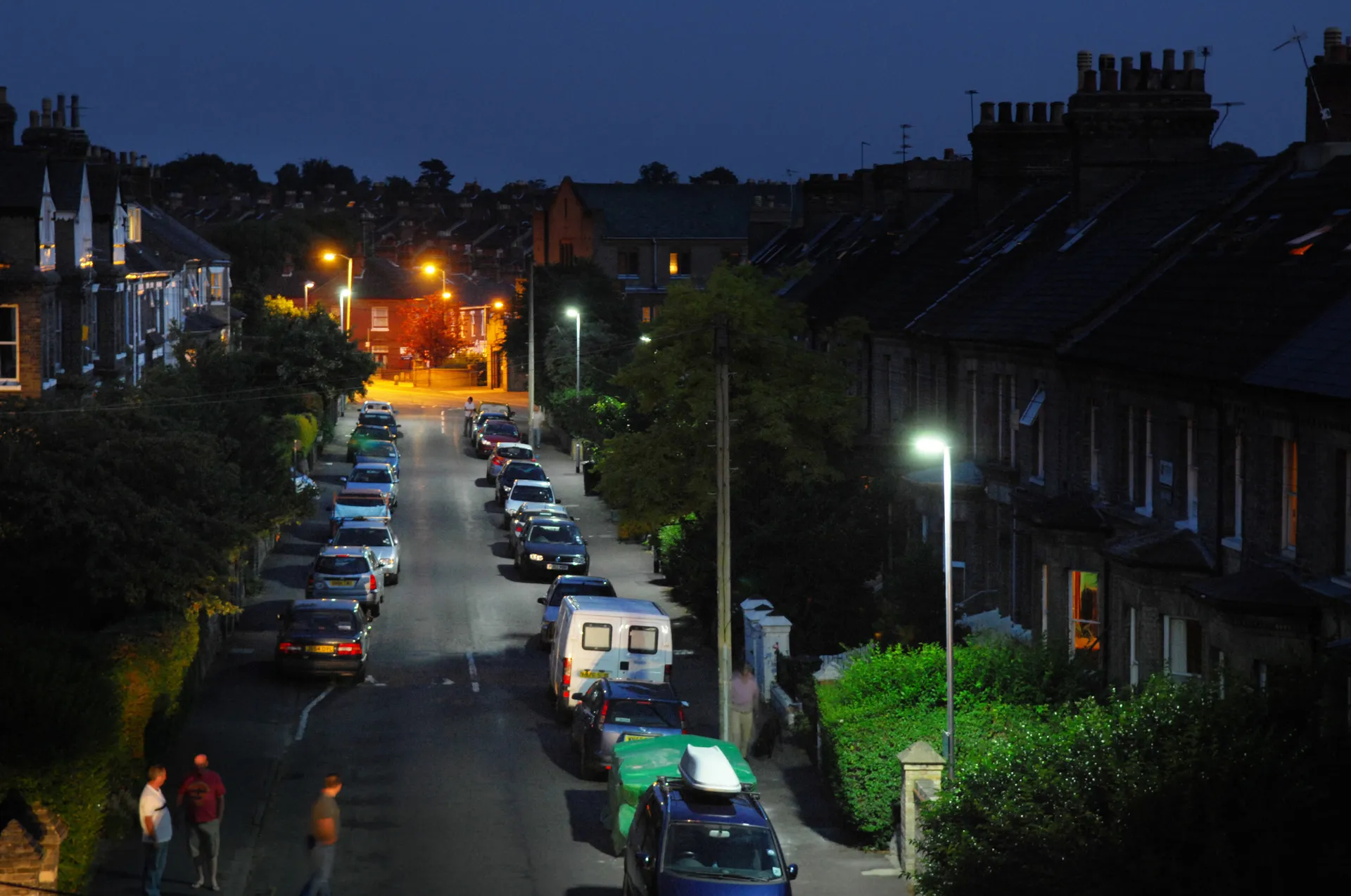
Most infrastructure surveys are now carried out using some type of mobile mapping systems for several reasons, not least to save surveying time. Scans from a moving vehicle can be carried out around 80% faster than by using more traditional methods, such as total stations or terrestrial scans.
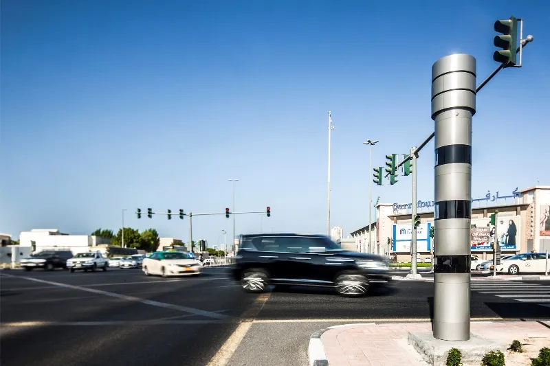
Thanks to the improved accuracy of systems such as ROBIN, whole city grids can be covered in minutes from the safety of a vehicle or remotely from a UAV - unmanned aerial vehicle. Mobile laser scanning is, therefore, not just faster but safer than other methods of data capture.
The latest point cloud software can also automatically classify objects such as street furniture, lamp posts and traffic signals, as well as identify and even extract vegetation and road markings.
The same set of data can be used for traffic planning, urban modeling, power line surveys and the mapping of assets, as well as in the event of a disaster. During the devastating flooding in New Orleans following Hurricane Katrina in 2005, maps generated by LiDAR helped emergency services navigate rubble-strewn streets to identify areas in which survivors were trapped.
In France, a recent mobile laser survey was carried out over an entire city – around 40km² - that captured over 3 terabytes of data, showing houses, utilities and transportation infrastructure in millimeter-perfect detail. The project forms part of a national French initiative to combine the data with photographs to create a detailed topographic map for long-term future planning, including the use of autonomous vehicles.
In Japan, one company is using the ROBIN system from 3D Laser Mapping mounted onto a drone for road surveys. By mapping bridge clearances and vegetation encroachment, they provide clients with detailed topographical information without any disruption to traffic.
In 2015, mobile mapping surveyed New York’s 10ha public Battery Park on the tip of Manhattan Island. The point cloud data showing buildings, pavements and road markings enables city officials to plan construction and preventative maintenance.
A recent survey in Melbourne, Australia classified and catalogued assets along a specific route. Software for processing point clouds and images, such as that from Terrasolid, enabled 3D Laser Mapping operators to identify not only road markings and utilities, but locate their coordinates and condition. Scanning a large block took under half an hour and the data is still being used to manage and monitor maintenance. Regular scanning of roads, slopes and vegetation means the assets can be monitored for changes that could be dangerous.
*Valdis Vanags holds an MSc in geodesy from Riga Technical University in Latvia. He has more than 20 years in LiDAR, remote sensing, geomatics and photogrammetry. In 2013 he joined 3D Laser Mapping, a global geospatial technology developer and supplier based in the UK.