
GNSS road pricing a step closer

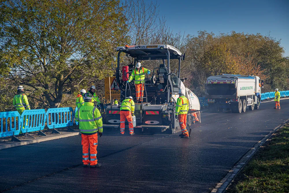
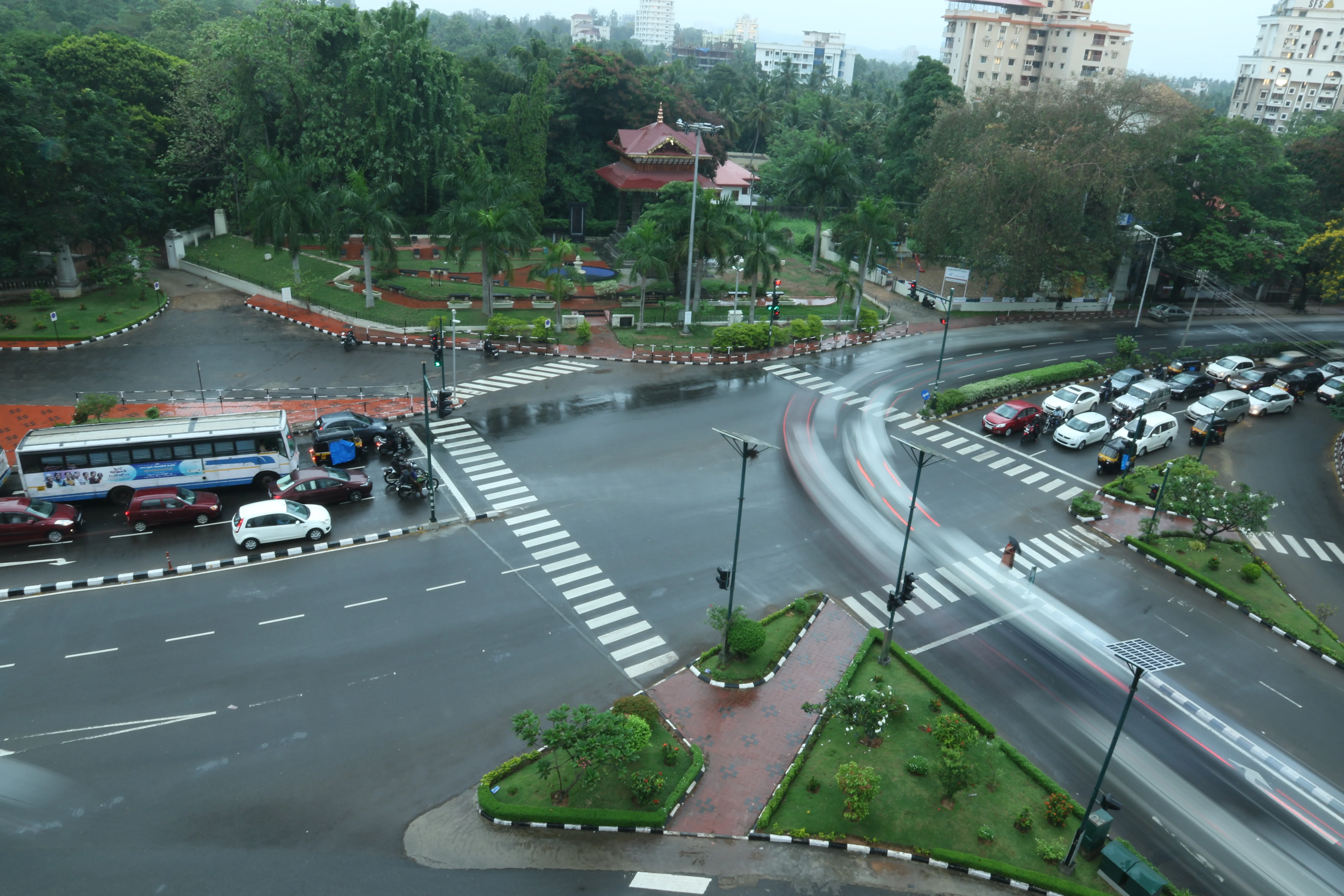
GNSS road pricing a step closer. Today, road transport faces major challenges such as the ever-increasing need for safety, as well as for reduced congestion and pollution.
February 23, 2012 Read time: 2 mins

2462 IRF BPC bringing GNSS-based road pricing a step closer to maturity

Today, road transport faces major challenges such as the ever-increasing need for safety, as well as for reduced congestion and pollution. These problems are particularly critical in highly populated zones, notably big cities and their surrounding areas.

Different schemes are being proposed to improve the situation, including road pricing systems to automatically charge drivers for their use of road infrastructures.

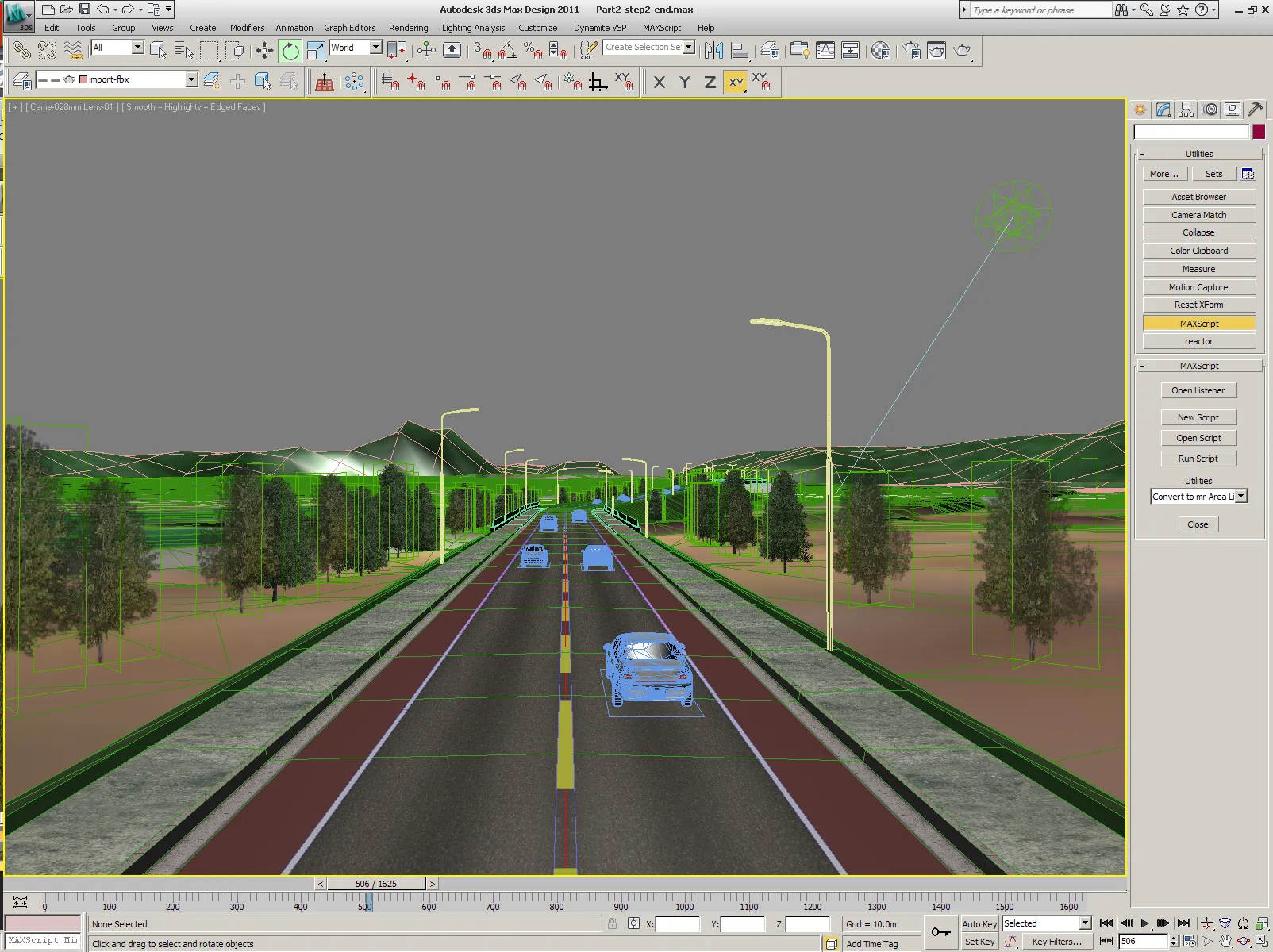
The booming use of Personal Navigation Devices (PND) opens new and challenging opportunities for the implementation of innovative satellite-based applications beyond basic navigational functions. Apart from road pricing systems, these include other promising applications such as Pay-As-You-Drive (PAYD) schemes for the insurance sector and leasing companies and the like, as well as Value Added Services (VAS) such as local mobility information.

Nevertheless, there are still several obstacles to larger scale uptake of such extended services based on Global Navigation Satellite System (GNSS) technologies. For example, the technical and economical feasibility of large scale road pricing based on GNSS only is not yet proven. Likewise, the practicalities of using the same on-board equipment for different applications have to be established.

Given the high potential of key applications, the GINA (GNSS for INnovative road Applications) project, co-funded by the 2465 European Commission and the European GNSS Supervisory Authority (GSA), was recently launched to address current obstacles with a view to bringing road pricing and road VAS a step closer to reality.

Over the next 24 months, the 12 project partners, coordinated by the Spanish company GMV, will conduct analysis to demonstrate that the adoption of the European GNSS (currently EGNOS, and Galileo from 2013) for road pricing and VAS is both technically and commercially feasible.

Following an in-depth analysis of real end user requirements, GINA will initiate the implementation of a nation-wide demonstration in the Netherlands. In the second stage of this project, 100 cars equipped with dedicated equipment will circulate on the Dutch road network for a period of six months. By the end of the project, new business opportunities should be clearly defined for the road sector.

The future looks very promising for the installation of GNSS applications in both urban areas and at national level. Hopefully, GINA will trigger wider interest in adopting the GNSS approach from EU cities and countries.

For more information on companies in this article

Related Content

  • Bitumen technology: three ways to more sustainable roads
    May 14, 2020
    This issue we look at three case studies showcasing new technologies designed to deliver more sustainable paving solutions.
  • IRF Global Road Achievement Awards Laureate city Road Improvement Project
    November 30, 2015
    Thiruvananthapuram, the capital city of Kerala (India) had been witnessing rapid urbanisation. The government of Kerala implemented the Thiruvananthapuram City Road Improvement Project (TRCIP) to widen the existing 42km of existing road network to cater the needs of rapid urbanisation.
  • Innovation in road design and management software
    February 17, 2012
    The emphasis on data processing and re-use, continues to grow in the development of design and management software. The interoperability of software, the need to handle and process larger amounts of data, and re-use and retention of data sets from one task to another have been a growing emphasis in the past few years. It allows infrastructure companies to get better value from expensively collected information and to focus more on the whole life cycle of projects.
  • The father of asset management speaks on the development of the concept
    May 24, 2016
    World Highways caught up with man who developed the concept of asset management for roads in the 1960s. Dr Ralph Haas is still researching in his native Canada, and commenting on potholes. The e-mail was brief. “You won't believe this, but I think I'm the last person on the planet without a cell phone.” That was quite an admission from Ralph Haas, distinguished Canadian professor emeritus. He was one of several civil engineers in the 1960s who developed the concept of managing roads as an integrated