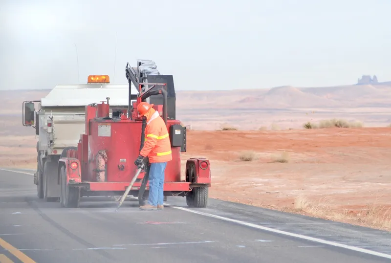
Portable work zone ITS solutions have emerged in recent years as important flexible tools for managing major roadwork projects, from new-build to upgrades. They effectively ensure traffic disruption is kept to a minimum and lives can be saved.
As such, the technology forms a central component of a major €1.7 billion project in the southern English county of Cambridgeshire. Mobile variable message sign company Mobile Visual Information Systems (MVIS) and VMS manufacturer Bartco have deployed a range of their products along 34km of road under construction as part of the A14 Cambridge-to-Huntingdon upgrade.
In broad terms, the technology deployed by MVIS and Bartco enables real-time journey information transmitted from
As Matt Felce, technical manager at MVIS, explains, the project began when the A14 Integrated Delivery Team, acting on behalf of Highways England, contracted his company. Highways England asked MVIS to embark on the largest installation to date of the company’s DATEX JTS - journey time solution.
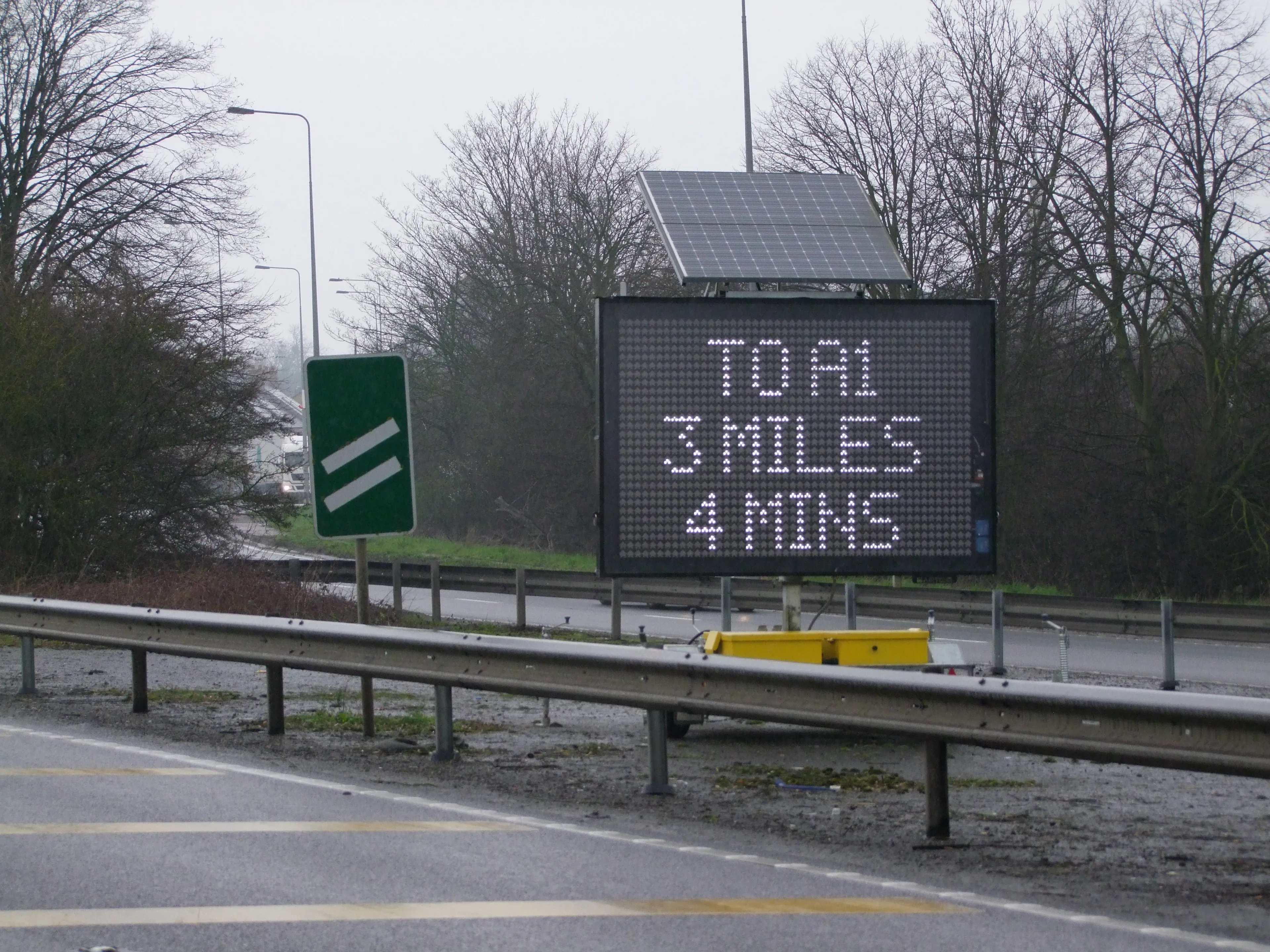
As part of the initiative, MVIS worked alongside display manufacturer Bartco to deploy 36 VMS-A and VMS-C units. These display accurate journey times from a driver’s location to the end of the affected stretch of road. Drivers quickly gain a comprehensive overview of the predicted journey duration and, if possible, allows them to select alternative routes. The VMS-A units, capable of operating on a combination of battery and solar power, are billed as being suitable for inner city and urban works or for roads with speed zones up to 80kph. Each unit can be used as a standalone temporary VMS; It can also be used in conjunction with radar to display a simple message, a message and the motorist’s speed, or speed only - as well as ‘too high’ and ‘too fast’ messages.
Meanwhile, the VMS-C unit can be used on all roads, particularly those where speeds are greater than 95kph.
Users can communicate with both the VMS-A and VMS-C units using GSM, SMS, internet, satellite, web-based, Bluetooth and serial systems. Both types of unit can be programmed by a laptop on-site, as well as via modem, SMS or internet. An Apple app is also available for the VMS-C.
“We have 22 VMS-Cs being used for journey time information and night-time closures along the main works route,” explains Felce. “A total of 14 VMS-As also display journey time and safety messages on the approach roads to the works route and a Solar IP [intelligent platform], that is being used to monitor temporary traffic lights on an approach road.
“The DATEX journey time solution works by calculating route times based on verified data supplied to us by Highways England for each individual sign. This is done on our own servers, which in turn send the messages to our signs,” says Felce.
The data is generated by HE’s fixed infrastructure of loops and automatic number plate recognition cameras along with floating vehicle data. This is the same source of data that Highways England uses itself to display journey times on its fixed VMS, which ensures a consistency in the times given.
If there is an emergency or a need to inform the public of road closures, the same signs can be sent an overriding message using the company’s proprietary Web Studio technology. MVIS claims that this reduces travel time and costs by enabling the instant communication of traffic information from any Wi-Fi-enabled Apple device including laptops, iPhones and iPads. Users can “view a map of their signs and zoom in, observe and adjust any number of signs in line with any developments on the ground”, he says.
According to Felce, the equipment is extremely efficient when it comes to using power. A key benefit of the system is that there isn’t any need to provide mains power even on a long-term scheme such as the A14.
“Our signs can be deployed quickly and moved around as the scheme’s needs change,” he says. “Because we use the DATEX information to drive our journey time solution there isn’t any requirement for additional plant to collect the data. This results in less roadside clutter and a lower overall cost.
“We use the latest developments in mobile communication in order to provide an industry-leading level of service. Also, the messages displayed replicate precisely those shown on Highway England’s fixed signs, promoting better continuity and ease of motorist interpretation than has previously been available, when information featured on temporary VMSs has not been generated by National Traffic Operations Centre.”
Looking ahead, MVIS is in negotiations with transport management organisations across the UK regarding potential smart motorway and major projects. The company is also working to expand its international network.
“I think the main development over the next few years will be the integration of different suppliers’ equipment in order to provide dynamic, automated safety messages for both the public and work zone staff.”