Advanced vehicle monitoring technology

PIPS Technology has commissioned two Journey Time Measurement Systems (JTMS) in Gravesend and Tunbridge Wells for Kent Highway Services (KHS) in the UK. The JTMS locations consist of 34 Automatic Number Plate Recognition (ANPR) cameras and JTMS software all provided by PIPS Technology.
February 15, 2012 Read time: 2 mins
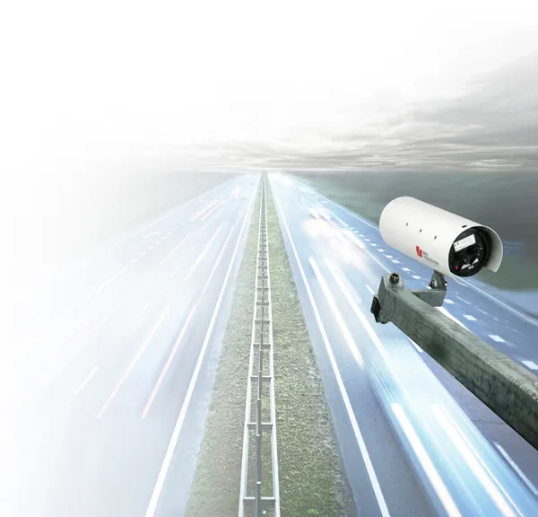
Roads in the english county of Kent now feature vehicle monitoring systems from PIPS technology

202 Pips Technology has commissioned two Journey Time Measurement Systems (JTMS) in Gravesend and Tunbridge Wells for Kent Highway Services (KHS) in the UK. The JTMS locations consist of 34 Automatic Number Plate Recognition (ANPR) cameras and JTMS software all provided by PIPS Technology.

The PIPS JTMS solutions installed in Kent both feature a network of award-winning P372 integrated Spike ANPR cameras, linked by wireless communications to the JTMS software. The Spike cameras are able to read the number plate of every vehicle that passes and sends time stamped and encrypted data back to the JTMS server.

The JTMS server calculates journey times from the data collected and forwards them to a common database which calculates journey times from systems all over Kent. To calculate the journey time the JTMS database uses the data transmitted from PIPS cameras and calculates how long it takes each vehicle to travel from one part of the network to another. From this an average time is calculated so that users know how well the traffic is flowing. Journey time data is useful as it can be transmitted to the roadside to communicate travel times to drivers by variable message signs (VMS) and allows planners to see areas of the road network which are not flowing as they should.

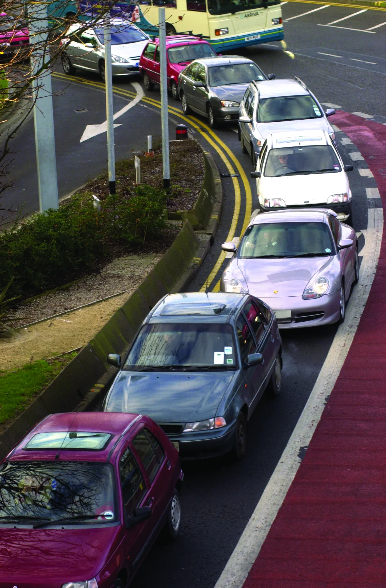
The system in Kent is being used to monitor journey times and alert operators in the KHS Traffic Management Centre of possible congestion and delays on the network. In total there are 21 different camera sites featuring PIPS Spike cameras spread across the two individual project locations, all of which are on single lane carriageways.

For more information on companies in this article

Related Content

  • Weigh in motion technology reduces road damage
    February 8, 2012
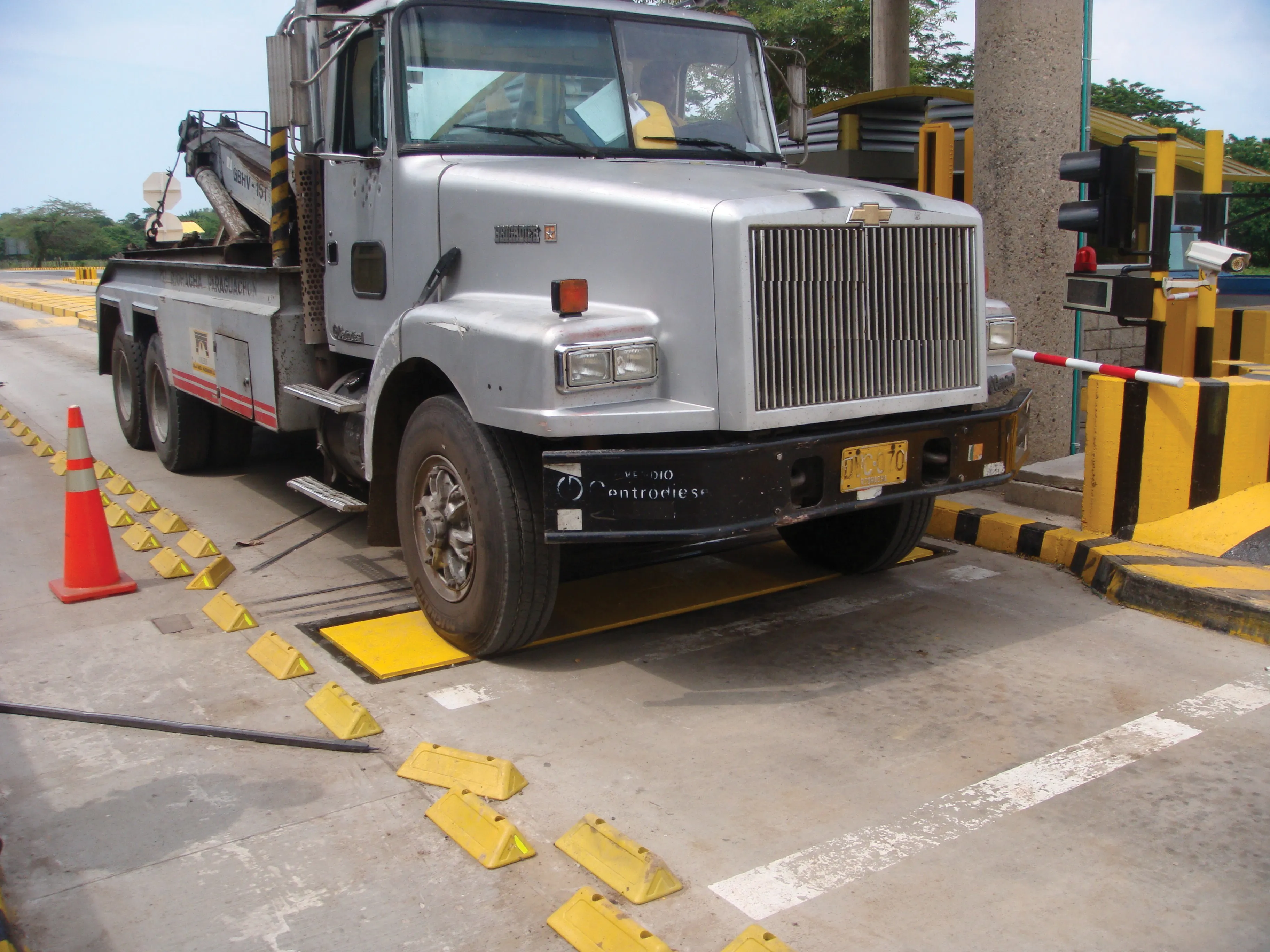
    Overweight vehicles cause enormous damage to road structures but they can be caught, even at high speed. Weigh-in-motion or WIM devices are designed to capture and record axle weights and gross vehicle weights as vehicles drive over a measurement site.
  • Efficient truck loading to optimise operations
    December 15, 2017
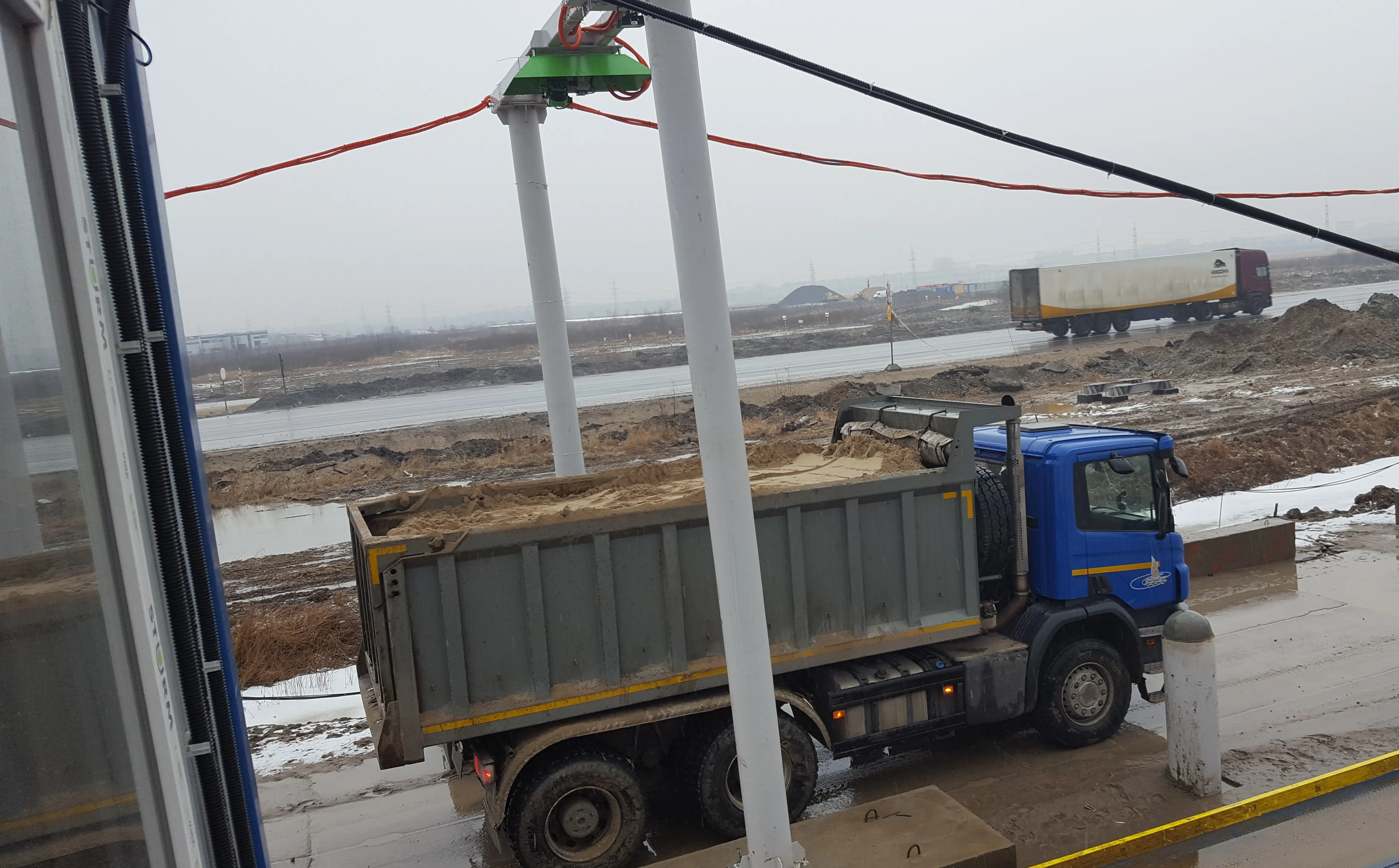
    Accurate technology has been utilised to measure the loads carried by dump trucks on a project in Russia. Specialist supplier LASE commissioned the LaseTVM tool on a road construction site for contractor EuroTransStroy at a construction site in St Petersburg, Russia. The laser-based measurement system is able to determine the volume of bulk materials such as sand and crushed stones with high accuracy. This can be used to prevent differences in loads from one truck to another, so as to ensure consistency.
  • Variable message signs aid parking, traffic control
    February 14, 2012
    From the highway to the parking space: message sign technology has proved that it simplifies wayfinding Variable message signs (VMS) are often located at key decision points on busy highways to help manage the network by providing advanced warning to drivers of emergencies and incidents. They are also used to warn drivers of events that may cause delays in the future such as road works and major events. An example comes from the USA where, to stimulate economies and refresh downtown areas, cities are build
  • Traffic management drives sustainability
    June 18, 2012
    New initiatives could boost transport sustainability – David Crawford writes. New roles are opening up for urban traffic management systems in helping city authorities to meet increasingly stringent governmental and supra-governmental air quality standards. European local authorities are typically tasked with both traffic management and pollution monitoring within their areas, making them well placed to draw on the latter to mitigate the impacts of the former.