A new series of miniature, high accuracy laser-based range and velocity measurement sensors could soon be used on police vehicles to check speeding motorists. There are many other applications for the RVMS Range and Velocity Measurement System from Measurement Devices (MDL). Evaluation models will be available soon.
A new series of miniature, high accuracy laser-based range and velocity measurement sensors could soon be used on police vehicles to check speeding motorists.
There are many other applications for the RVMS Range and Velocity Measurement System from Measurement Devices (6221 MDL Laser Systems). Evaluation models will be available soon.
Dr Paul Rivers, MDL's commercial engineering and development manager, said that by using innovative (patented) measurement technology, objects passing through the sensing beams will deliver both range and velocity data. Object passing time can also be measured.
"Imagine a computer mouse which tracks the arrow on a monitor. Lift it off the table by tens of metres and you have a 3-D motion detector. This is the basis of our sensor," said Dr Rivers.
"Normally for distance measurement you require two lasers usually on a gantry, but with the RVMS only one laser is required for a fixed speed installation.
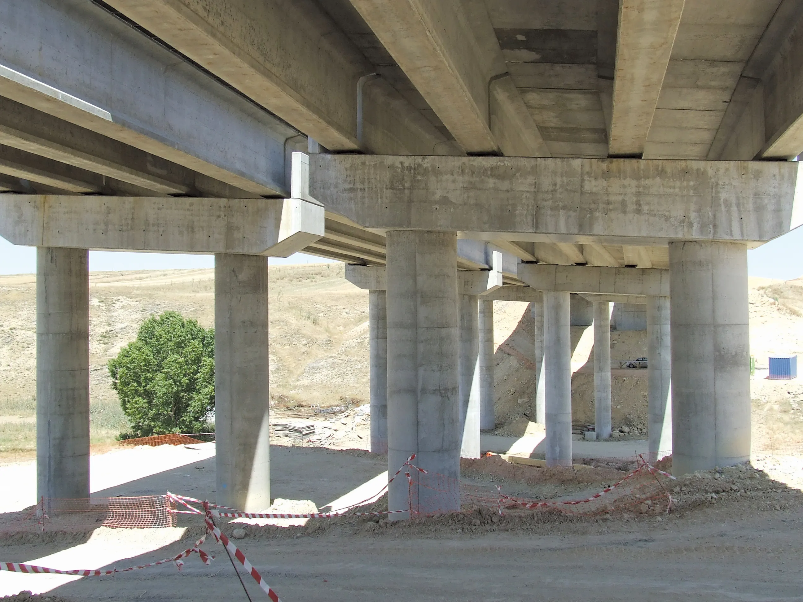
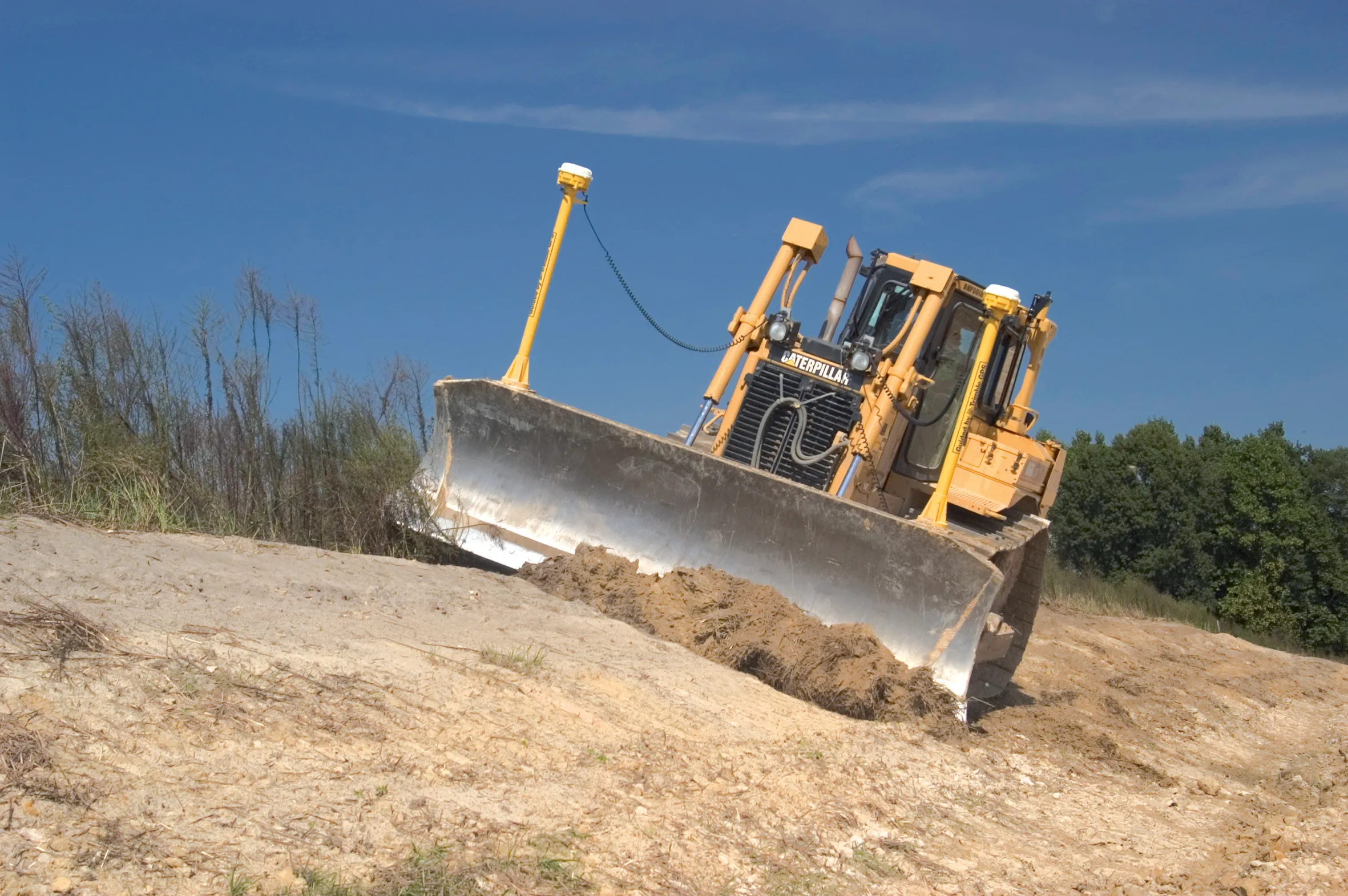
"If the unit is mounted in a fixed position it will measure the speed of things passing across the beam. Equally if it is mounted underside of a vehicle the true speed it moves across the surface can also be measured.
"The sensor opens up a wide range of applications, for example, in traffic flow management and production process monitoring."
There are many other applications for the RVMS Range and Velocity Measurement System from Measurement Devices (
Dr Paul Rivers, MDL's commercial engineering and development manager, said that by using innovative (patented) measurement technology, objects passing through the sensing beams will deliver both range and velocity data. Object passing time can also be measured.
"Imagine a computer mouse which tracks the arrow on a monitor. Lift it off the table by tens of metres and you have a 3-D motion detector. This is the basis of our sensor," said Dr Rivers.
"Normally for distance measurement you require two lasers usually on a gantry, but with the RVMS only one laser is required for a fixed speed installation.
"If the unit is mounted in a fixed position it will measure the speed of things passing across the beam. Equally if it is mounted underside of a vehicle the true speed it moves across the surface can also be measured.
"The sensor opens up a wide range of applications, for example, in traffic flow management and production process monitoring."