3D Repo develop virtual reality safety app for Balfour Beatty

3D Repo is working with contractors Balfour Beatty and Vinci and the UK roads agency Highways England to deploy a virtual reality simulation program for safety training. 3D Repo, a spin-off from University College London, develops open-source software for building information modelling in the cloud. More than 40 different 3D file formats are decomposed and federated in the company’s big data repository.
April 18, 2017 Read time: 2 mins
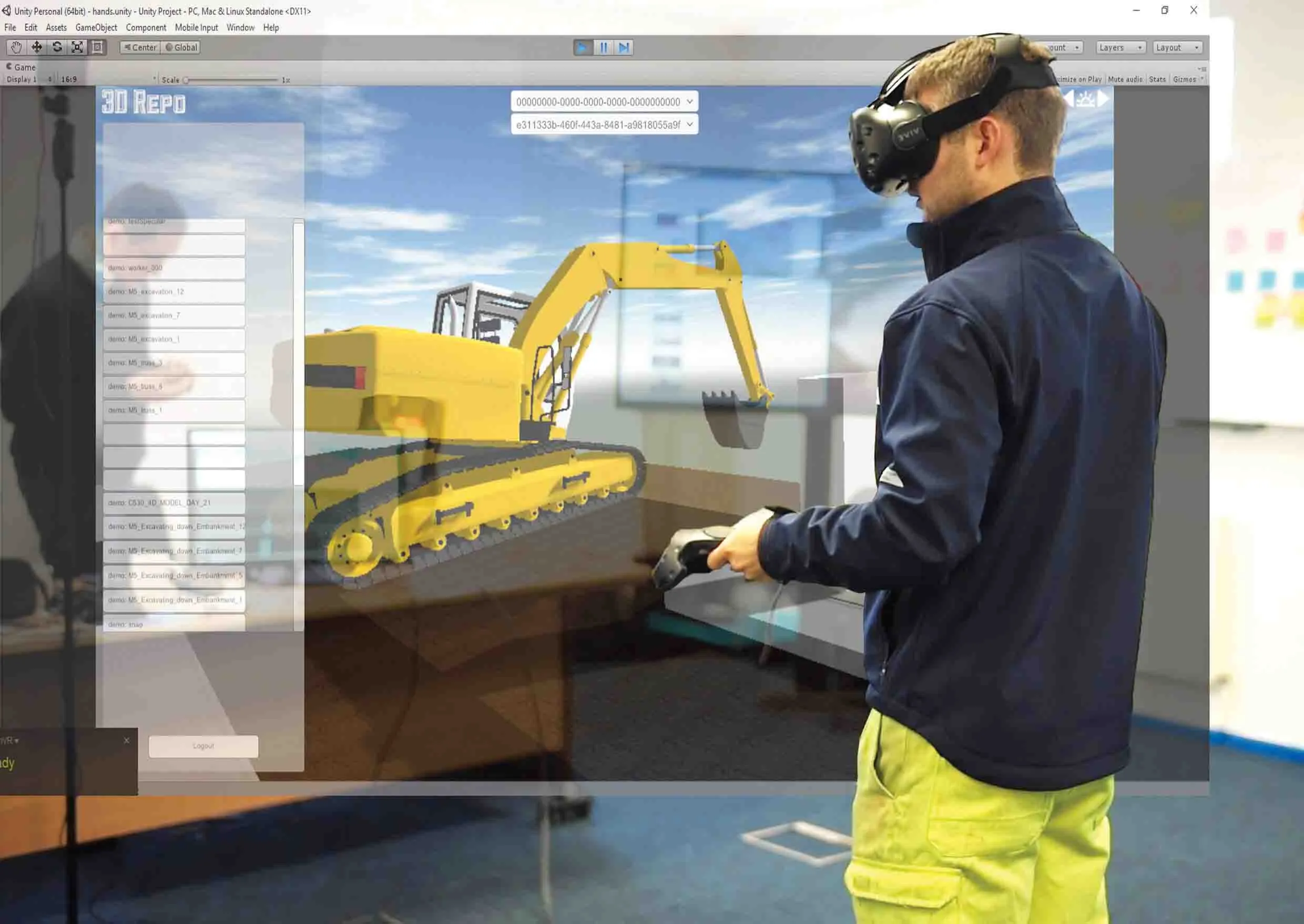
Seeing is believing, and staying healthy: 3D Repo’s construction site simulation
3D Repo is working with contractors Balfour Beatty and 5177 Vinci and the UK roads agency 8100 Highways England to deploy a virtual reality simulation program for safety training


3D Repo, a spin-off from University College London, develops open-source software for building information modelling in the cloud. More than 40 different 3D file formats are decomposed and federated in the company’s big data repository.

The simulated program - part of the UK’s Smart Motorway programme – is a fully immersive simulation to prevent on-site accidents by making highways construction and maintenance projects safer through improved training. It features real world scenarios while the virtual experience gives users different perspectives of the same potentially dangerous situation in order to develop an understanding of safe working zones.  

“In order to demonstrate our understanding of our customers’ needs and facilitate the collaboration between our customers and their clients, we wanted to digitally transform our approach,” commented

Neil Thompson, head of digital research at 1146 Balfour Beatty, said that using a standard visual reality headset, the 3D Repo simulation provides multiple views of different scenarios. The user is immersed in a position relative to an activity, for example bank excavation, so they can examine both the worker’s as well as the plant driver’s visibility. The user can then position themselves where they think they are safe and switch to the plant operator’s position to understand what they would see.

All this is done within the safety of an office or training room and without the need for lengthy manuals, training sessions or specialist personnel. As the scenarios are hosted online, the system can be set up easily from any location and can be deployed across numerous sites at the same time.

“Upon login, users can access all their projects remotely on the fly and without the need to create custom executables each time,” said Jozef Dobos, chief executive of 3D Repo. “We also utilise existing site-specific 3D models and building information modelling (BIM) data so that custom scenarios can be created and uploaded as and when needed.”

For more information on companies in this article

Related Content

  • Firmly in control with communications
    May 6, 2020
    An important step has been made with regard to improving data communications between construction machines
  • Efficient stockpile and site monitoring
    October 23, 2017
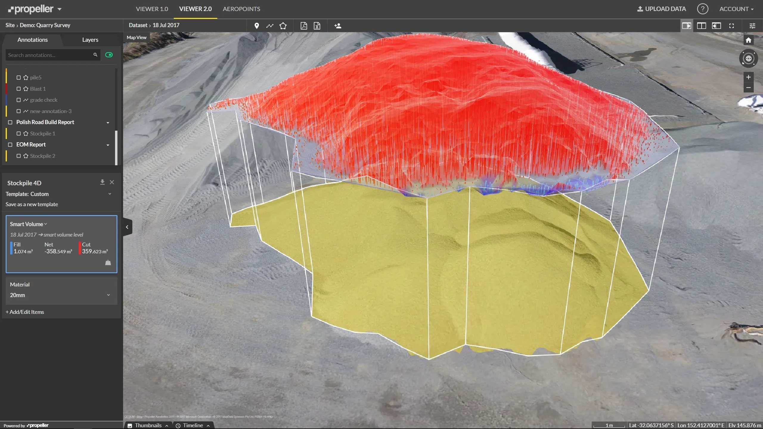
    Effective monitoring of aggregates stockpiles as well as face excavation can deliver greater quarrying efficiency. One of the latest innovations in quarrying is the use of drones, which provide major benefits for optimising operations. The use of affordable drone hardware and software solutions can help reduce stockpile inventory time by as much as 70%. Through the recent partnership between Trimble and Propeller, drone data can now be an everyday tool in quarries by proving a transformational impact
  • Catsurveys introduces mobile GPR that covers 50km a day
    March 10, 2015
    Catsurveys Group’s latest mobile ground penetrating radar (GPR) unit can cover up to 50km a day to identify underground utilities, buried manholes, chambers, culverts, tunnels and other objects. The mobile GPR uses a multitude of low- and intermediatefrequency antennas to boost the quality of data. Double polarised antennas cover longitudinal and transverse scans to create clear images. The surveys combine GPS and total station theodolite recording to give pinpoint geolocations of all features of interest.
  • PTV’s novel traffic analysis system
    April 25, 2013
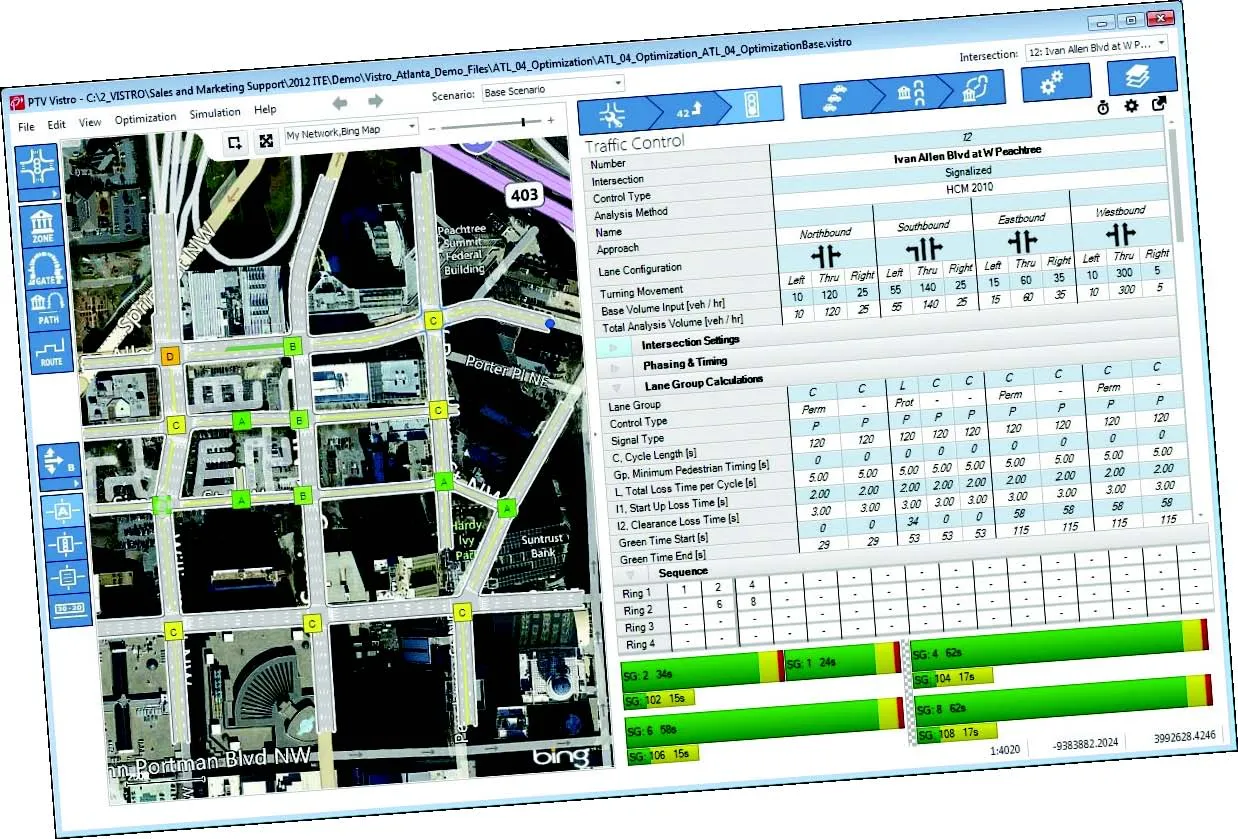
    German traffic analysis consultant and software maker PTV, which produces the well-known Visum and Vissim strategic traffic analysis and micro-simulation tools, has launched a new assessment tool aimed at studying traffic impact of new developments. PTV Vistro is claimed to be the first all-in­ one-solution for transport analysis and signal optimisation, an easy-to-use software that can be used to conduct traffic studies which are often a mandatory part of development applications and planning approvals.