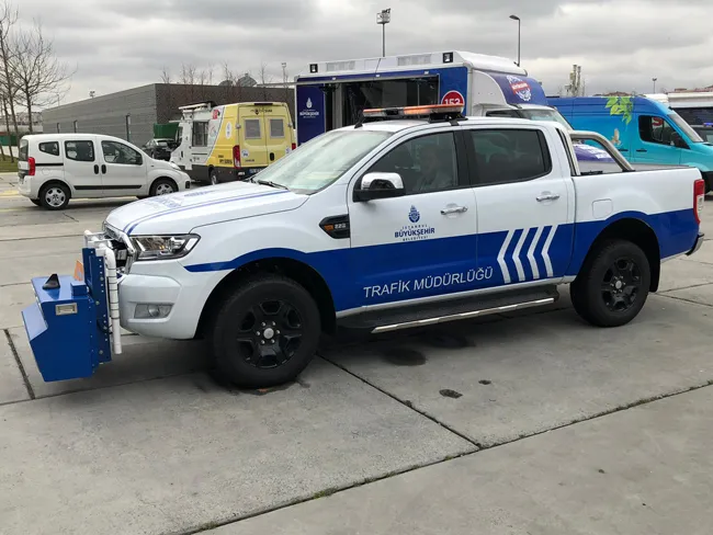
Mobile retroreflectometers have taken a technologic step ahead with the launch of the LTL-M system. New patented technology improves measurement accuracy to a level so far only provided by handheld retroreflectometers and offers better coverage.
The need for accurate data on the performance of pavement markings has never been greater as road authorities seek to provide a high safety level for increasingly congested roads. Furthermore, due to the ageing populations in many parts of the world, a growing n
Mobile retroreflectometers have taken a technologic step ahead with the launch of the LTL-M system. New patented technology improves measurement accuracy to a level so far only provided by handheld retroreflectometers and offers better coverage.
The need for accurate data on the performance of pavement markings has never been greater as road authorities seek to provide a high safety level for increasingly congested roads. Furthermore, due to the ageing populations in many parts of the world, a growing number of elderly drivers who, compared to young people, tend to have slower reaction time and need more light to see traffic guidance tools such as pavement markings.
Obviously, the better the optical retroreflections of road markings, the more visible they are to drivers.199 Delta’s latest LTL-M mobile retroreflectometer for assessing road marking performance has improved accuracy due to its use of new patented technology. Its accuracy is in line with readings taken with traditional handheld devices such as the Delta’s LTL-X and LTL-XL models. i.e. working with a typical repeatability of +/- 3% and a typical reproducibility of +/- 5%. In addition, LTL-M offers complete coverage of the entire pavement markings in contrast to limited sample based coverage by traditional handheld retroreflectometers or even traditional mobile retroreflectometers. The LTL-M is a major advance on first generation retroreflectometers, which were less accurate due to vehicle movement changes, wind and vehicle load variations affecting measurement geometry which could not be compensated for.
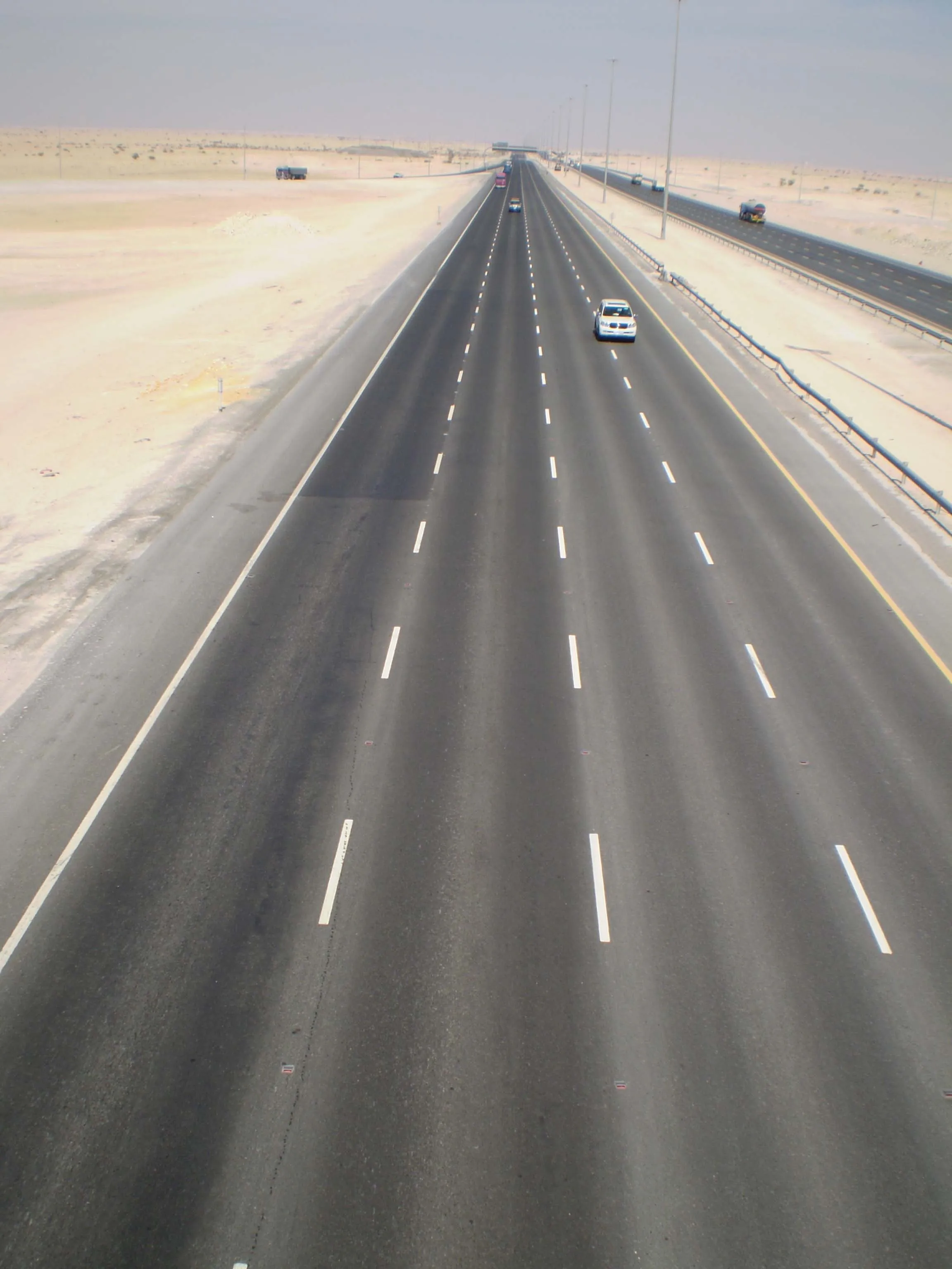
Most existing mobile retroreflectometers work with 6 m geometry. This means that the most accurate measurements are achieved when the system measures at or close to the 6 m point. During driving, the measurement distance will typically fluctuate between 5 and 7 m. If a mobile system is not able to compensate for such inaccuracies, incorrect readings will be the result.
The diagram shows that if the sensor unit is vertically lifted 5 % or 1.2 cm compared to the nominal measurement height, it results in readings 22 % below the correct values. In parallel, if the sensor is tilted 5% off the horizontal level, it results in 10 % too low readings.
The LTL-M measures 100% of the marking surface up to a speed of 90 kph / 55 mph even if higher speed can be used. The LTL-M is therefore able to measure a detailed cross sectional retroreflection of the markings. As many markings have strong transversal variation, a reading taken by a handheld instrument with a 4-5 cm wide measurement field in the centre does not represent the true visibility. The LTL-M gives a detailed analysis of the variation that can be correlated to either the true visibility, as the driver sees the marking in full width and length, or to a middle section for correlation to a hand held instrument.
The LTL-M also offers the opportunity to measure accurately white and yellow markings without recalibration. Other key features include good linearity up to at least 2000 mcd/lx/m² ; measurement of profiled markings up to 25 mm; easy once-daily field calibration traceable to international standards; and the suppression of daylight to retain measurement accuracy.
The technology applied measuring retroreflection of pavement markings are lined out, among others, in EN 1436 and4814 ASTM E 1710. Both standards describe a 30 m geometry and the corresponding angles for illumination and observation, focusing on handheld retroreflectometers. The geometry of the existing mobile retroreflectometers follows these standards. There are, however, task activities taking place both by CEN and ASTM to expand existing or write new standards to cover mobile measurement of markings. These standards are expected to follow the current 30 m geometry. They will, however, elaborate on potential error sources of the mobile technology, offer recommendations to the technical specifications of such instrument and possibly require that instrument suppliers inform how their mobile system handle such conditions and what are the limitations of the instrument. This work is expected to be finalised within the coming two-year period.
The need for accurate data on the performance of pavement markings has never been greater as road authorities seek to provide a high safety level for increasingly congested roads. Furthermore, due to the ageing populations in many parts of the world, a growing number of elderly drivers who, compared to young people, tend to have slower reaction time and need more light to see traffic guidance tools such as pavement markings.
Obviously, the better the optical retroreflections of road markings, the more visible they are to drivers.
Most existing mobile retroreflectometers work with 6 m geometry. This means that the most accurate measurements are achieved when the system measures at or close to the 6 m point. During driving, the measurement distance will typically fluctuate between 5 and 7 m. If a mobile system is not able to compensate for such inaccuracies, incorrect readings will be the result.
The diagram shows that if the sensor unit is vertically lifted 5 % or 1.2 cm compared to the nominal measurement height, it results in readings 22 % below the correct values. In parallel, if the sensor is tilted 5% off the horizontal level, it results in 10 % too low readings.
The LTL-M measures 100% of the marking surface up to a speed of 90 kph / 55 mph even if higher speed can be used. The LTL-M is therefore able to measure a detailed cross sectional retroreflection of the markings. As many markings have strong transversal variation, a reading taken by a handheld instrument with a 4-5 cm wide measurement field in the centre does not represent the true visibility. The LTL-M gives a detailed analysis of the variation that can be correlated to either the true visibility, as the driver sees the marking in full width and length, or to a middle section for correlation to a hand held instrument.
The LTL-M also offers the opportunity to measure accurately white and yellow markings without recalibration. Other key features include good linearity up to at least 2000 mcd/lx/m² ; measurement of profiled markings up to 25 mm; easy once-daily field calibration traceable to international standards; and the suppression of daylight to retain measurement accuracy.
The technology applied measuring retroreflection of pavement markings are lined out, among others, in EN 1436 and