Measuring night and day visibility of road markings

Box International studies have proven that relatively more accidents and fatalities happen during night-time driving compared to day-time driving. At the end of 2008, Danish company DELTA launched its latest model, the LTL-XL, a fourth generation portable retrometer for measuring night and day-time visibility of all types of road markings. "Measures are traceable to PTB (Physikalisch-Technische Bundesanstalt), Germany and NIST (National Institute of Standards), USA. LTL-XL measures according to the internat
March 16, 2012 Read time: 2 mins
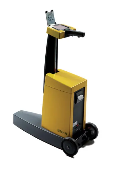
The LTL-XL from DELTA: built in modules

Box International studies have proven that relatively more accidents and fatalities happen during night-time driving compared to day-time driving.

At the end of 2008, Danish company 199 Delta launched its latest model, the LTL-XL, a fourth generation portable retrometer for measuring night and day-time visibility of all types of road markings.

"Measures are traceable to PTB (3998 Physikalisch-Technische Bundesanstalt), Germany and NIST (National Institute of Standards), USA. LTL-XL measures according to the international standards EN1436 and ASTM E-1710," says DELTA.

Its LTL-XL offers several new features compared to previous instruments from DELTA and these include the measuring of the ambient temperature and humidity; geotagging using GPS mapping software; USB connectivity and seamless connection to any system using a Web browser.The new equipment is offered with a new coloured display, single-handed operation and single touch controls, which makes the operator's work much easier.

Using LED technology, which makes the instrument almost maintenance free, LTL-XL allows users to work efficiently with measuring times of 1-3 seconds and a large memory of more than 200,000 measurements.

"LTL-XL is built in modules to allow the operator to design the instrument according to actual needs. It comes in a base model to which can be added wheels and telescopic handle, GPS and printer," says DELTA.

For more information on companies in this article

Related Content

  • Accurate scanning
    February 6, 2012
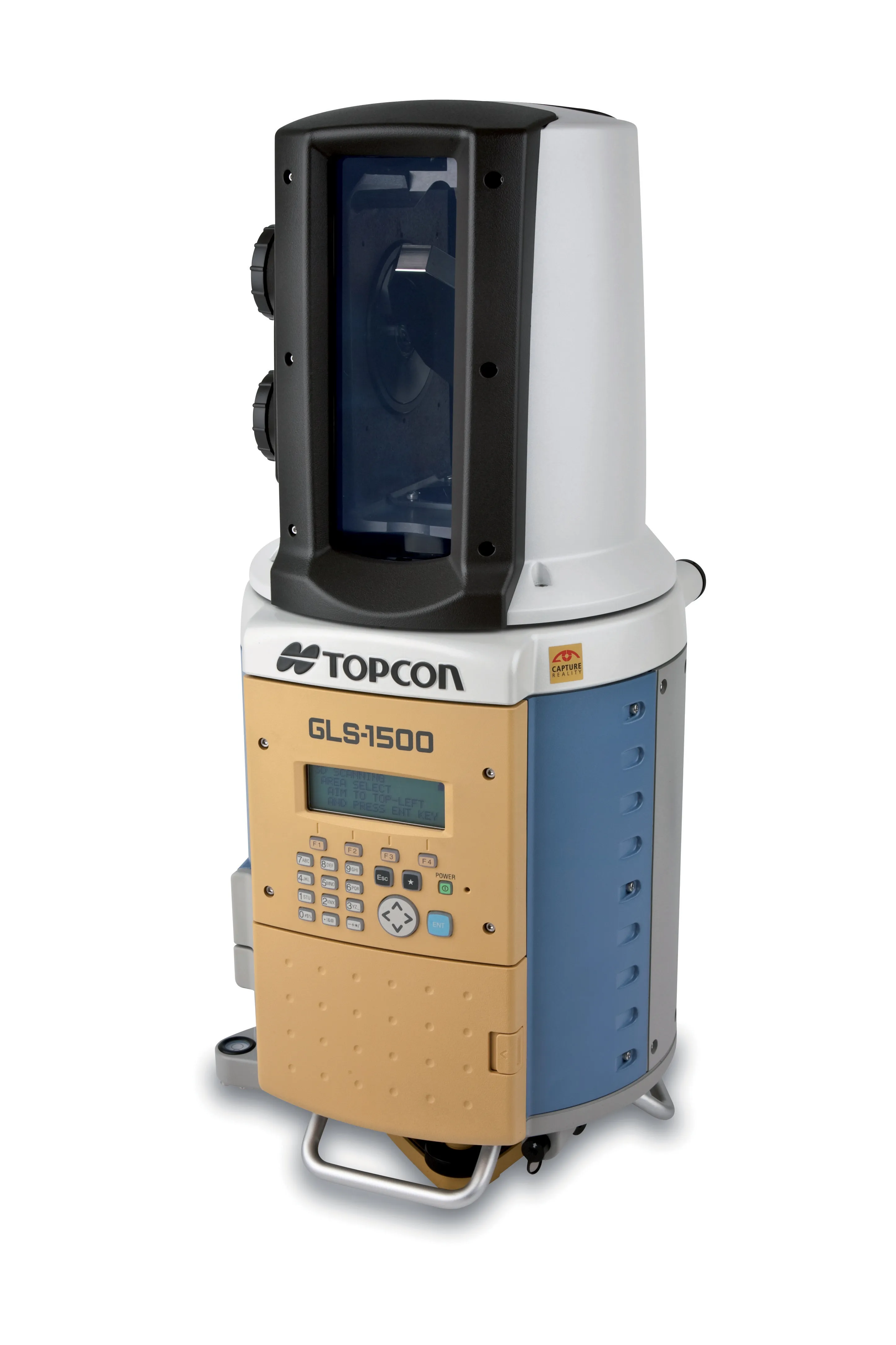
    TOPCON CLAIMS that its GLS- 1500 laser scanner speeds point cloud collection. This unit is 10 times faster than previous units and collects up to 30,000 points/second, reducing the amount of equipment needed in the field. The GLS-1500 offers a range of up to 330m and is designed for quick setup to save time and improve productivity.
  • Sophisticated paving technology from BPO
    October 24, 2019
    Advanced technology is enabling asphalt road surfaces to be laid with greater efficiency
  • Road safety is an EU priority
    March 2, 2012
    The preparation of the new EU Road Safety Policy for the next decade will take place during Spain's presidency of the EU. Patrick Smith reports. An the past 10 years, half a million people have been killed on European Union roads, with road crashes costing an annual €160 billion or 2% the EU's GDP.
  • Topcon unveils FC-336 date controller
    March 27, 2014
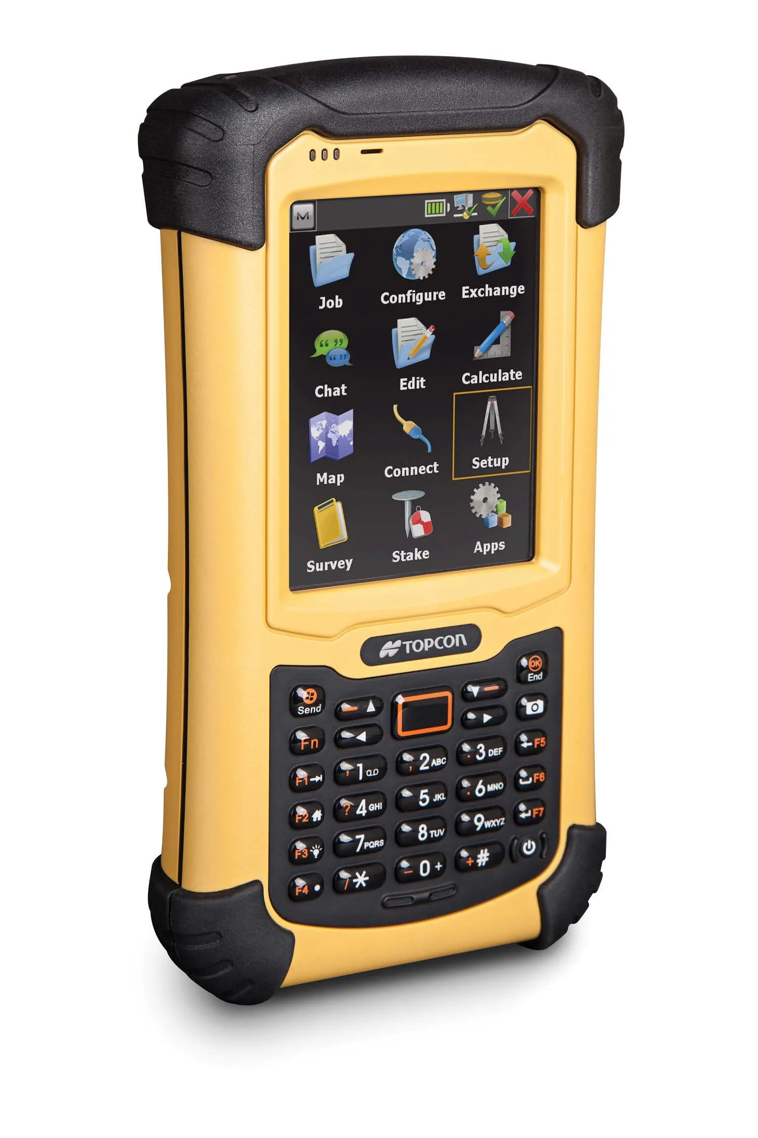
    Topcon has unveiled its new FC-336 data controller designed specifically for the construction industry. In addition to providing field crews with access to MAGNET Enterprise to send and receive data files, the new controller operates with Topcon MAGNET Field, Site and Layout software, as well as Topcon Pocket 3D. A compact and lightweight handheld controller, the FC-336 works with all Topcon GNSS receivers and total stations.