Measuring night and day visibility of road markings

Box International studies have proven that relatively more accidents and fatalities happen during night-time driving compared to day-time driving. At the end of 2008, Danish company DELTA launched its latest model, the LTL-XL, a fourth generation portable retrometer for measuring night and day-time visibility of all types of road markings. "Measures are traceable to PTB (Physikalisch-Technische Bundesanstalt), Germany and NIST (National Institute of Standards), USA. LTL-XL measures according to the internat
March 16, 2012 Read time: 2 mins
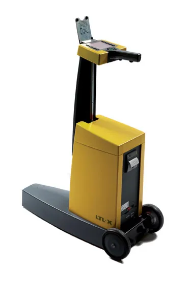
The LTL-XL from DELTA: built in modules

Box International studies have proven that relatively more accidents and fatalities happen during night-time driving compared to day-time driving.

At the end of 2008, Danish company 199 Delta launched its latest model, the LTL-XL, a fourth generation portable retrometer for measuring night and day-time visibility of all types of road markings.

"Measures are traceable to PTB (3998 Physikalisch-Technische Bundesanstalt), Germany and NIST (National Institute of Standards), USA. LTL-XL measures according to the international standards EN1436 and ASTM E-1710," says DELTA.

Its LTL-XL offers several new features compared to previous instruments from DELTA and these include the measuring of the ambient temperature and humidity; geotagging using GPS mapping software; USB connectivity and seamless connection to any system using a Web browser.The new equipment is offered with a new coloured display, single-handed operation and single touch controls, which makes the operator's work much easier.

Using LED technology, which makes the instrument almost maintenance free, LTL-XL allows users to work efficiently with measuring times of 1-3 seconds and a large memory of more than 200,000 measurements.

"LTL-XL is built in modules to allow the operator to design the instrument according to actual needs. It comes in a base model to which can be added wheels and telescopic handle, GPS and printer," says DELTA.

For more information on companies in this article

Related Content

  • Vögele introduces improved medium-sized paver
    January 6, 2015
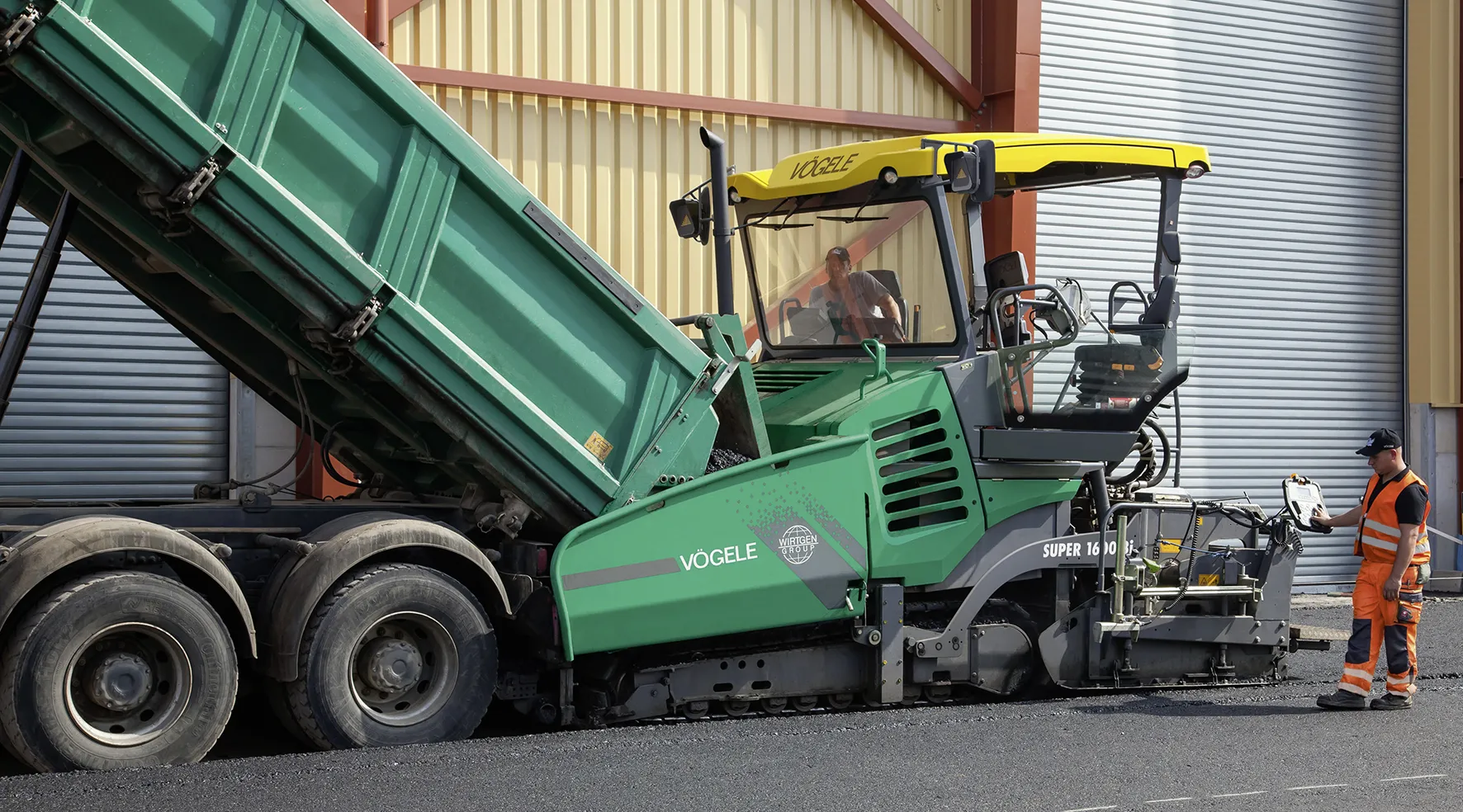
    Vögele is offering high performance paving with its new machine - Mike Woof writes Vögele is introducing a new medium class tracked paver, the SUPER 1600-3i and its rubber tyred sibling, the SUPER 1603-3i. The company is also offering an update to its SprayJet package for paving thin overlays. Both the SUPER 1600-3i and SUPER 1603-3i share the benefits of the firm’s Dash 3 features, with the tracked machine able to handle paving widths up to 7.5m and the rubber tyred version offer a maximum width of 7m.
  • Efficient surveying
    February 10, 2012
    According to Spectra Precision, its latest outdoor data collectors can optimise surveying operations. The sophisticated Ranger 3 data collector series and the Nomad 900 series are designed to operate with Spectra Precision Survey Pro field software and offer advanced surveying capabilities. Spectra Precision now offers three Ranger 3 models, the 3L, 3XC and 3RC. These data collectors come standard with an 800MHz processor, 256MB of memory, a full VGA display, integrated Bluetooth, GPS, compass and 802.11 Wi
  • Automatic control
    February 7, 2012
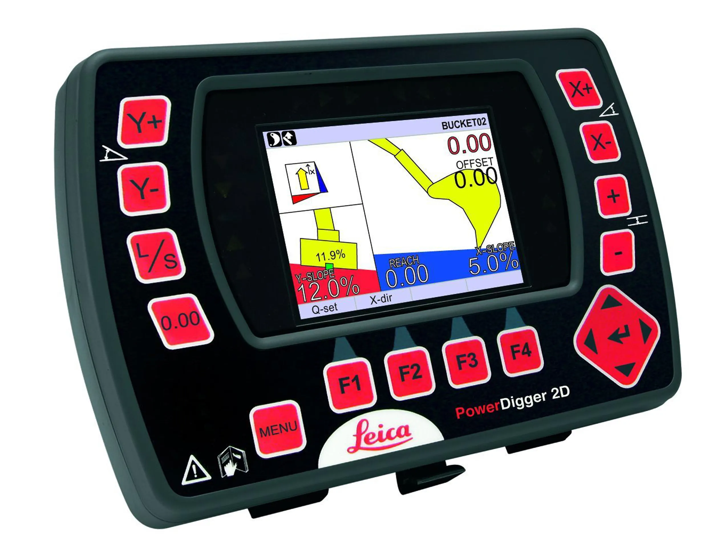
    Leica Geosystems says that sophisticated PowerDigger 2D guidance system for excavators offers automatic slope control. The system expands on its PowerSnap technology and is said to make excavating easier and more productive. The system uses a standard panel whether fitted to a dozer, excavator or grader, which is also said to save money on training and equipment, as well as reducing down time. Leica PowerDigger 2D system allows multiple elevations and slopes to be constructed at any orientation, witho
  • GPS system for trenching
    February 7, 2012
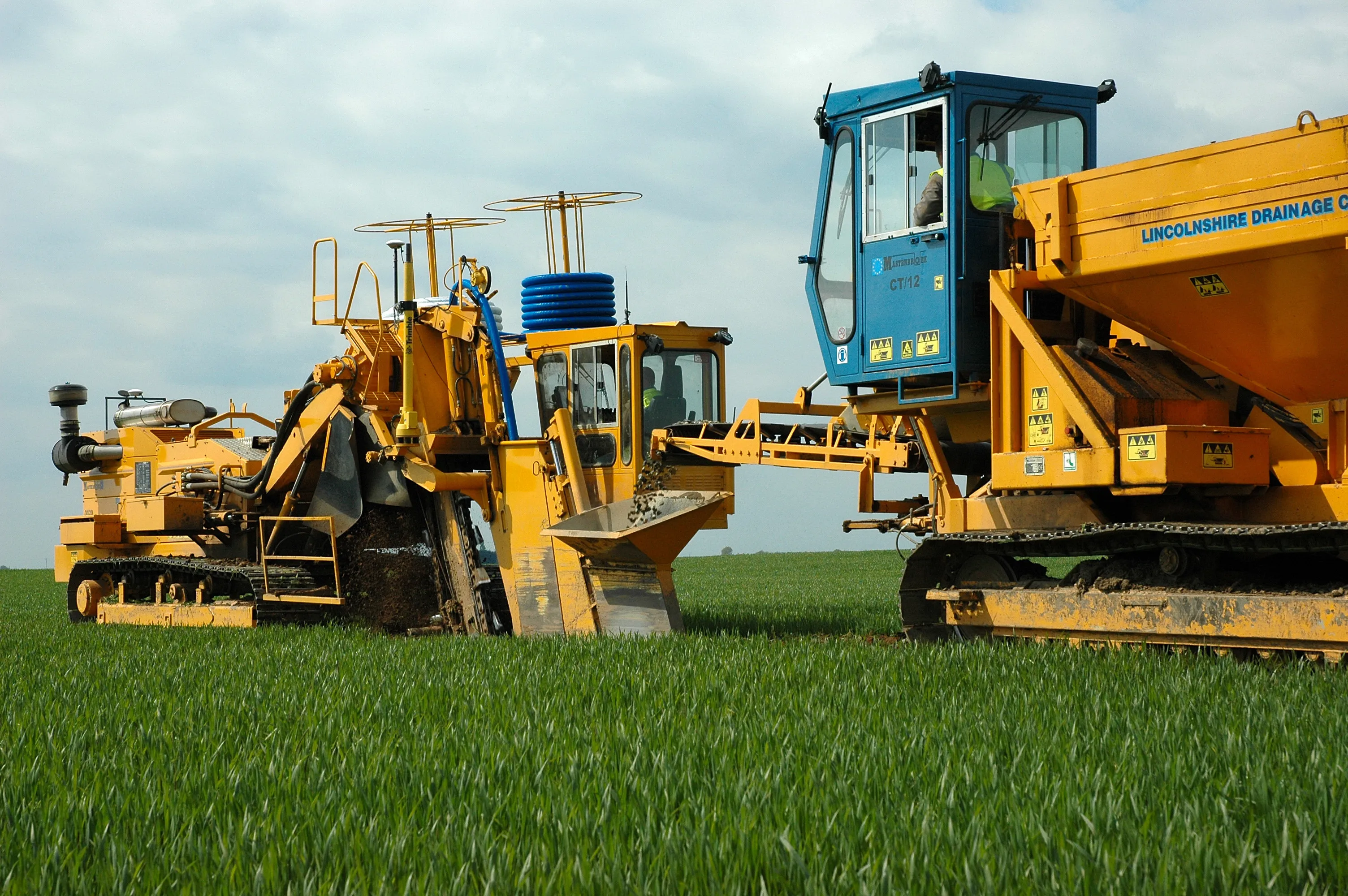
    Mastenbroek has developed a sophisticated GPS-controlled system for use in drainage trenching applications in partnership with Trimble Germany. The package is based on Trimble's Field Level II technology and is said to offer key benefits over existing laser-based technology. Surveying times can be slashed while drainage costs can be cut through more accurate deployment of gravel fill. An on-board computerised touch-screen display records every detail of the job, which can be downloaded for analysis and bill