'Five innovations in one'

The new ZRM 6014 road marking retroreflectometer from Zehntner is said to incorporate five innovations in one go: telescope handle and wheels as standard, colour touch display, camera, level meter and compass.
February 9, 2012 Read time: 2 mins
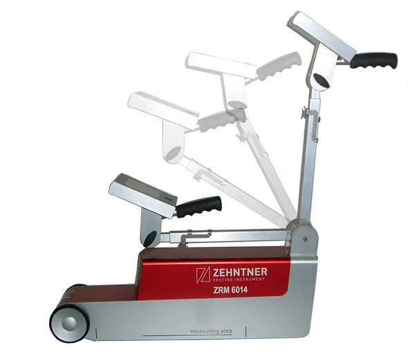
Zehntner's new ZRM 6014 road marking retroreflectometer "incorporates five innovations in one go"

The new ZRM 6014 road marking retroreflectometer from Zehntner is said to incorporate five innovations in one go: telescope handle and wheels as standard, colour touch display, camera, level meter and compass.

"The main focus has been put on speeding up the measuring process of road markings. RL and Qd are measured in about two seconds: single measurements of RL or Qd take only one second each," says managing director Peter 1285 Zehntner.

"Somebody who has actually been on the road for measurements knows that speed is of the essence." As well as the RL and Qd values temperature and air humidity are recorded simultaneously. Extensive options to configure the instrument include a level meter to determine the gradient of the road; a compass that indicates the orientation and a GPS receiver allows precise positioning of the results. As standard, all this information can be displayed on mapping software for easy evaluation.

An optional built-in camera allows the user to get a picture of the marking from the point of view of the measuring instrument, which is said to be helpful when in doubt during the evaluation of critical results.

Data can be transferred to a PC or memory stick within seconds, and a built-in printer can print measuring results on the spot.

For more information on companies in this article

Related Content

  • Florida gets one.network closure
    November 14, 2022
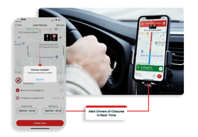
    Road crews in the US state of Florida can now post lane closure information to GPS providers from their mobile phones while working on site
  • Straight to the point for measurement
    February 6, 2018
    Leica Geosystems says it is introducing a major advance in site surveying. This offers a novel tilt compensation system, so that users are no longer required to hold the pole vertical. The new Leica GS18 T is claimed to be the world’s fastest GNSS RTK rover, while the firm is also offering the latest versions of Leica Captivate field software and Leica Infinity office software. With the addition of calibration-free GNSS and various upgrades to the Captivate field software and Infinity office software, use
  • Construction trends in North America, looking to the future
    June 10, 2019
    Exciting changes in construction will reward the aware contractor - *Jeff Winke comments Hop in a car and drive anywhere in the US and chances are the drive will be on roads and highways that need patching, resurfacing, or widening, and bridges often show signs of needed maintenance. Sadly, things are in bad shape. On the last two report cards from the American Society of Civil Engineers, the US infrastructure scored a D+. This year’s report urges the government and private sector to increase spending
  • High accuracy mapping without base stations
    June 15, 2020
    Highly accurate UAV mapping can now be achieved without the need for base stations. This development comes from Applanix, part of the Trimble Group.