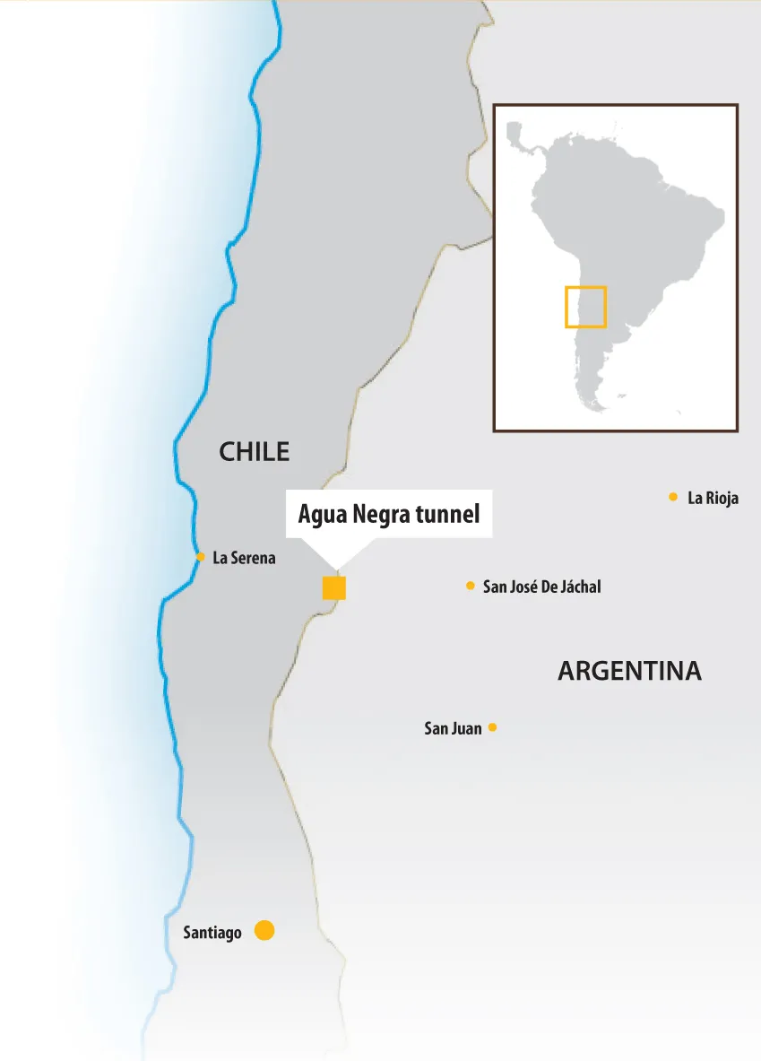
The current Paso de Agua Negra is the highest border crossing between Chile and Argentina. On the Argentine side, the Agua Negra Pass is located at 4,765m above sea level and 260km from the city of San Juan in the province of San Juan in the north-west of the country. On the Chilean side, the pass lies 229km from the city of La Serena in the Coquimbo region. The pass can be accessed from the Argentine side via National Highway No 150 from the province of La Rioja, which runs for a total of 390km. From the C
Plans are in hand for the Agua Negra tunnel connecting Chile with Argentina – Mauro Nogarin reports
The current Paso de Agua Negra is the highest border crossing between Chile and Argentina. On the Argentine side, the Agua Negra Pass is located at 4,765m above sea level and 260km from the city of San Juan in the province of San Juan in the north-west of the country. On the Chilean side, the pass lies 229km from the city of La Serena in the Coquimbo region. The pass can be accessed from the Argentine side via National Highway No 150 from the province of La Rioja, which runs for a total of 390km. From the Chilean side, the pass can be accessed by Highway 41 CH which begins in the city of La Serena and is paved up to the customs house.
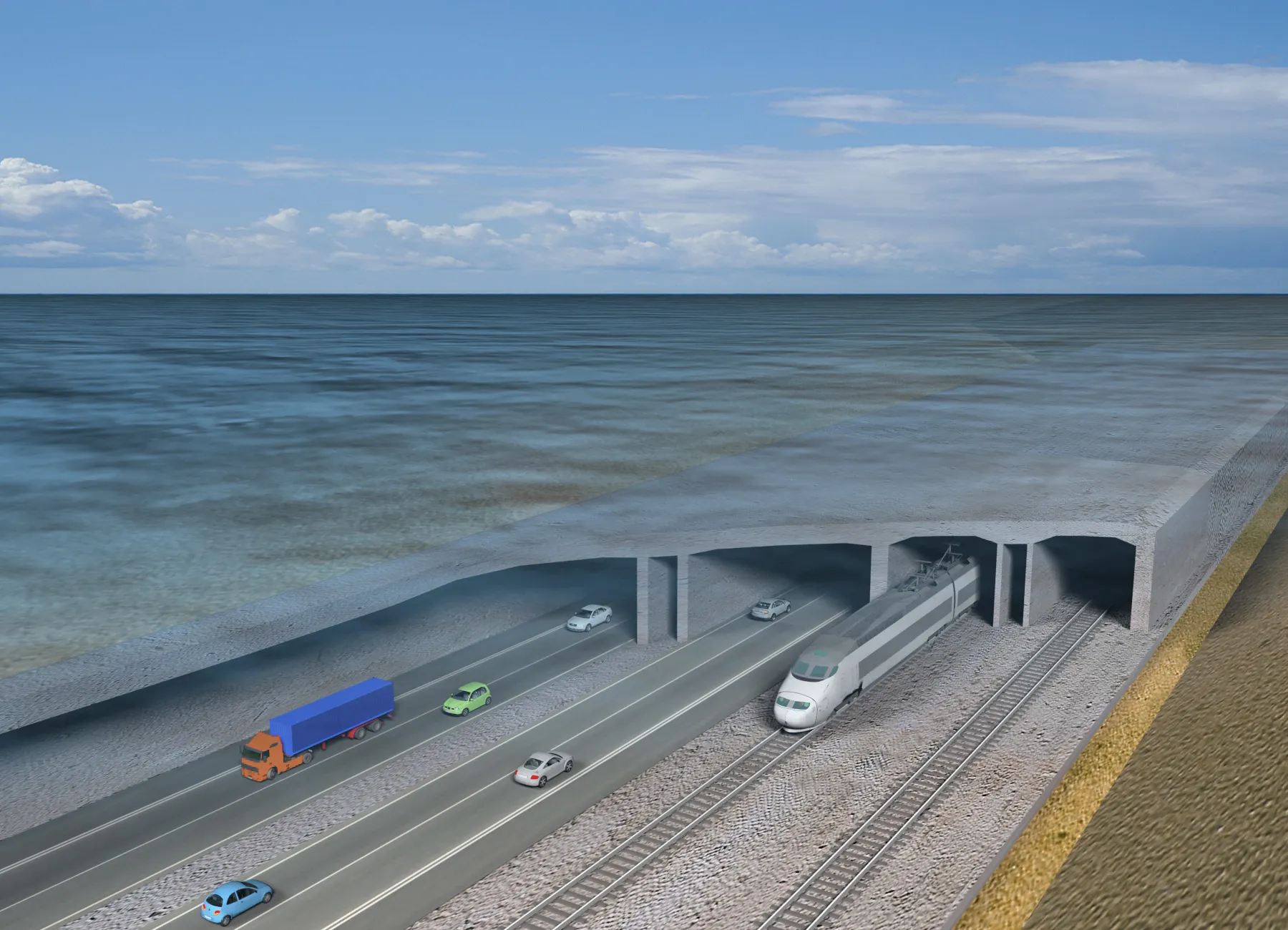
Because of its altitude, the current pass is subject to frequent closures due to bad weather and this route also poses challenges to drivers even in good conditions. Clearly, the construction of a new route is important to both countries and the new tunnel connection will make a major improvement in transport. The highway project consists of two parallel tunnels that will carry two traffic lanes. The tunnels run for a distance of 13.9km and have a maximum width of 11m but because the tunnels run through high mountains, the maximum incline has been limited to 4%. The Agua Negra Tunnel will be designed for a maximum speed of 100km/h, a maximum cant of 2.5% and with a radius curvature of 1,500m, as well as a maximum longitudinal incline of 3.37%.
The research work has been extensive and geological studies have shown that different geological zones exist with the rock being mainly volcanic along the path of the future tunnels, particularly andesite and rhyolite.
Quaternary rocks along the path of the project are mainly located in the areas around the portals and along the streams. Based on the geotechnical studies conducted, the properties of each type of rock layer has been determined within the rock mass with a particular focus on the path of the tunnels.
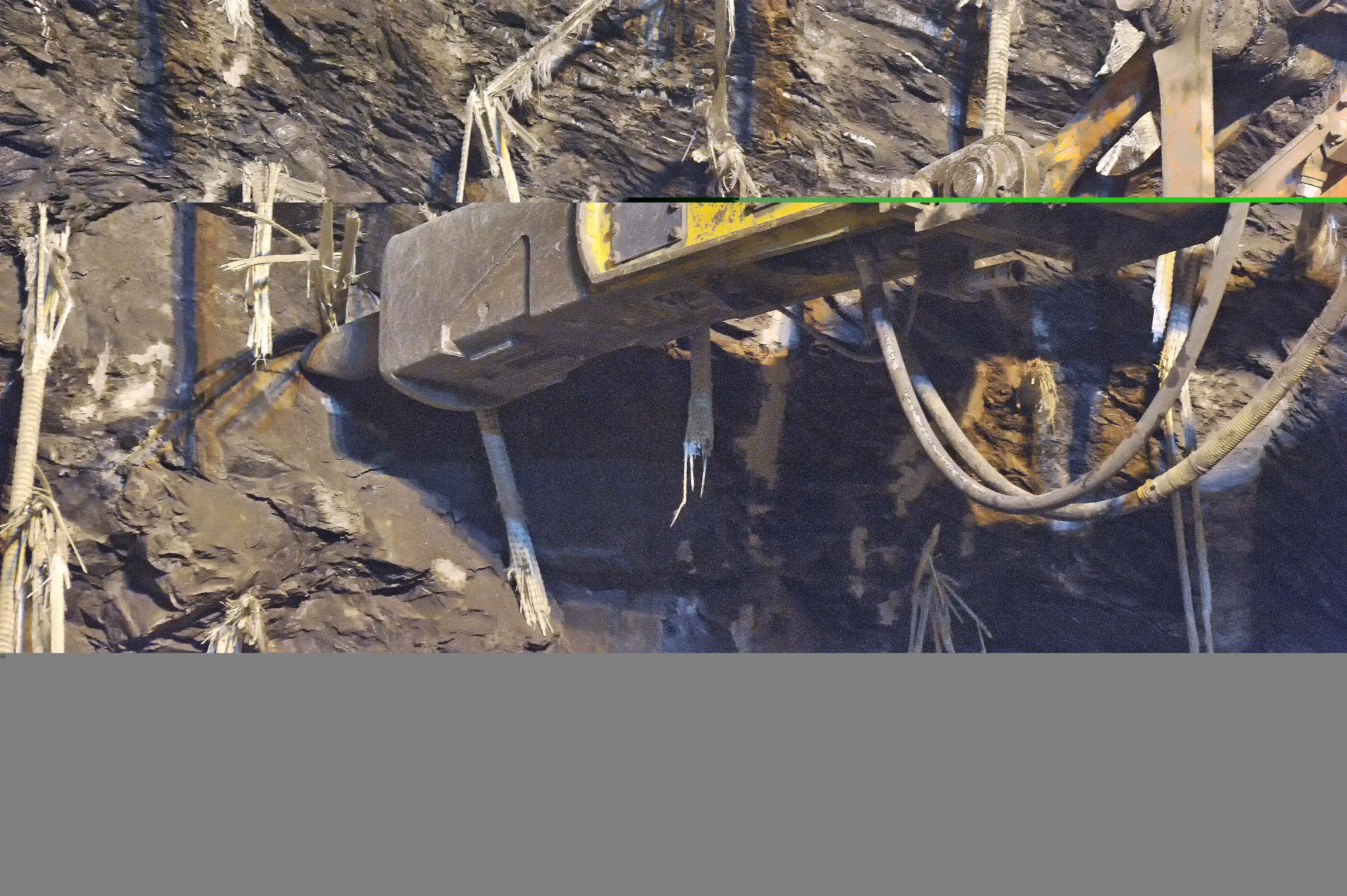
The studies show that there are three main fault lines, each with its own orientation, along the path of the tunnel. The valleys and streams along the route follow the orientation of the main fault lines, so the faults have been named after the main streams in the area. The Rio Colorado fault line influences the design for the first 100m on the Chilean side of the tunnel, and although the San Lorenzo fault is not pertinent to the tunnel itself it bears an influence due to its proximity. The proximity of the fault lines on the tunnel has been taken into account, based on previous experience with other projects and the excavation process being used is the drill and blast method.
From a hydrographic perspective, the Andes mountains bordering between Chile and Argentina make up a hydrographic divide. On the Chilean side, the main outflow of waters is to the Pacific Ocean via the “Rio Colorado” which drains waters toward the north and south and has several tributaries. On the Argentine side, the waters flow toward the “Arroyo Agua Negra” and “Arroyo San Lorenzo” which drain the area to the south-east.
The engineers have set out the basic design of the civil engineering works inside the tunnels. The geometric structure of the tunnel, which includes the support system for the underground excavations, includes the installation, drainage and pavement.
The first section measures 1,450m and features a rock coverage ranging from 5-706m, while section 2 of the tunnel is 1,000m long with rock coverage ranging from 685-1,206m. Section 3 is 2,000m long with rock coverage ranging from 1,206-1,681m, while section 4 is 2,500m long with coverage varying from 1,681-870m. Section 5 is 2,575m long and the rock coverage ranges from 504-870m, while section 6 is 1,425m long with rock coverage ranging between
378-520m. Rinally section 7 is 2,902m long with rock coverage from 372-5m.
The engineers have selected nine distinct classes of supports for the project, so as to cope with non-fractured rocks or rocks with varying grades of discontinuity as well as the actual fault sections featuring varying degrees of fracturing. Each section will use appropriate support elements such as bolts, self-tapping bolts, shotcrete and metal trusses. Geo-structural surveys will be carried out prior to the excavation of each section so as to identify what kind of rock conditions exist and allow the most suitable support method to be used.
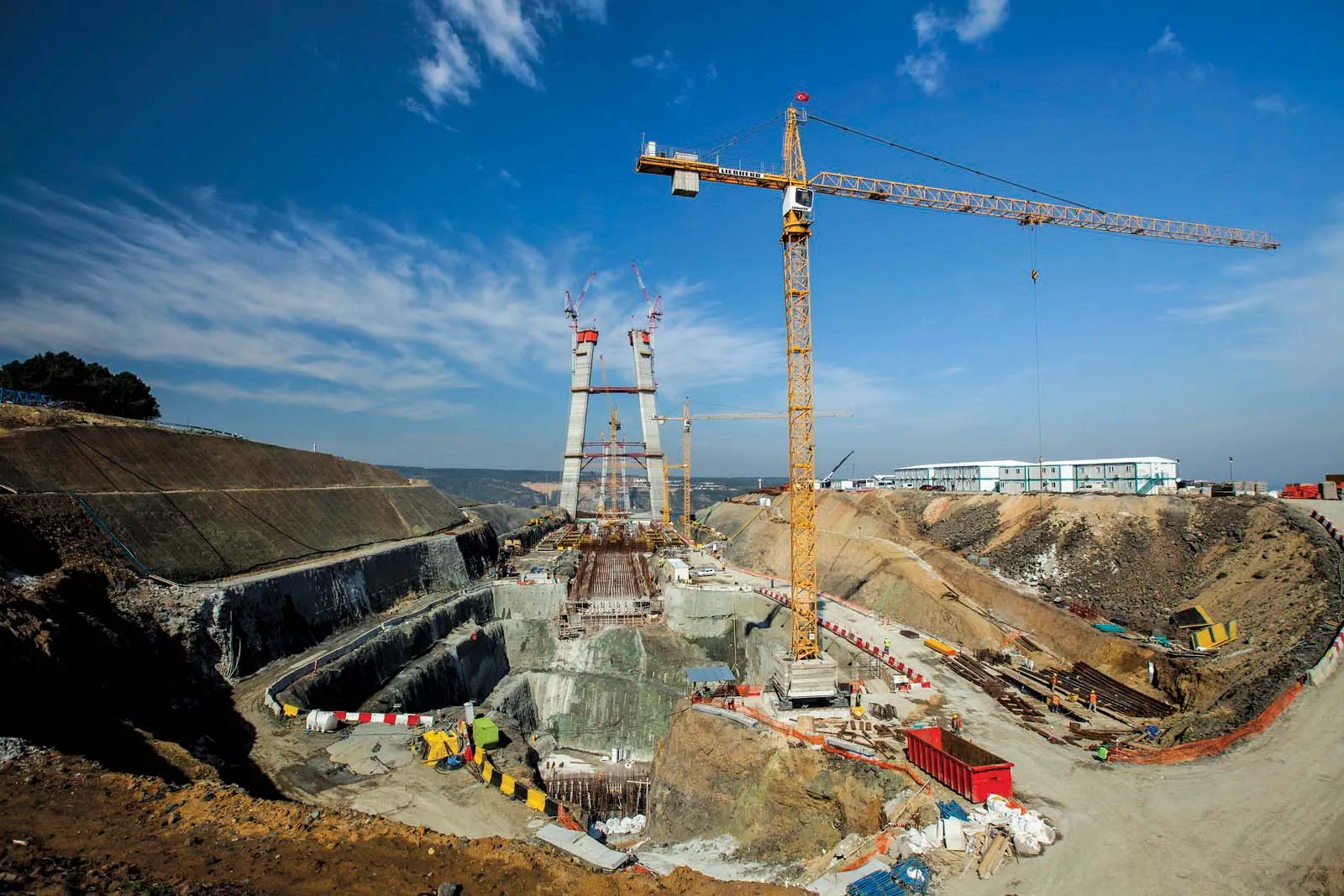
The two tunnels are not identical and the more northerly will measure 13.838m long while the southerly will be 13.921m long, with the bores spaced 40-50m apart along the route. The portal in Argentina is some 465m higher than the portal in Chile. The ventilation tunnels measure some 4.75km long in all while there are also ventilation caverns at the eastern and western ends as well as a 535m deep ventilation well that will be raisebored. In all the project calls for the excavation of some 2 million m3 of rock.
The current Paso de Agua Negra is the highest border crossing between Chile and Argentina. On the Argentine side, the Agua Negra Pass is located at 4,765m above sea level and 260km from the city of San Juan in the province of San Juan in the north-west of the country. On the Chilean side, the pass lies 229km from the city of La Serena in the Coquimbo region. The pass can be accessed from the Argentine side via National Highway No 150 from the province of La Rioja, which runs for a total of 390km. From the Chilean side, the pass can be accessed by Highway 41 CH which begins in the city of La Serena and is paved up to the customs house.
Because of its altitude, the current pass is subject to frequent closures due to bad weather and this route also poses challenges to drivers even in good conditions. Clearly, the construction of a new route is important to both countries and the new tunnel connection will make a major improvement in transport. The highway project consists of two parallel tunnels that will carry two traffic lanes. The tunnels run for a distance of 13.9km and have a maximum width of 11m but because the tunnels run through high mountains, the maximum incline has been limited to 4%. The Agua Negra Tunnel will be designed for a maximum speed of 100km/h, a maximum cant of 2.5% and with a radius curvature of 1,500m, as well as a maximum longitudinal incline of 3.37%.
The research work has been extensive and geological studies have shown that different geological zones exist with the rock being mainly volcanic along the path of the future tunnels, particularly andesite and rhyolite.
Quaternary rocks along the path of the project are mainly located in the areas around the portals and along the streams. Based on the geotechnical studies conducted, the properties of each type of rock layer has been determined within the rock mass with a particular focus on the path of the tunnels.
The studies show that there are three main fault lines, each with its own orientation, along the path of the tunnel. The valleys and streams along the route follow the orientation of the main fault lines, so the faults have been named after the main streams in the area. The Rio Colorado fault line influences the design for the first 100m on the Chilean side of the tunnel, and although the San Lorenzo fault is not pertinent to the tunnel itself it bears an influence due to its proximity. The proximity of the fault lines on the tunnel has been taken into account, based on previous experience with other projects and the excavation process being used is the drill and blast method.
From a hydrographic perspective, the Andes mountains bordering between Chile and Argentina make up a hydrographic divide. On the Chilean side, the main outflow of waters is to the Pacific Ocean via the “Rio Colorado” which drains waters toward the north and south and has several tributaries. On the Argentine side, the waters flow toward the “Arroyo Agua Negra” and “Arroyo San Lorenzo” which drain the area to the south-east.
The engineers have set out the basic design of the civil engineering works inside the tunnels. The geometric structure of the tunnel, which includes the support system for the underground excavations, includes the installation, drainage and pavement.
The first section measures 1,450m and features a rock coverage ranging from 5-706m, while section 2 of the tunnel is 1,000m long with rock coverage ranging from 685-1,206m. Section 3 is 2,000m long with rock coverage ranging from 1,206-1,681m, while section 4 is 2,500m long with coverage varying from 1,681-870m. Section 5 is 2,575m long and the rock coverage ranges from 504-870m, while section 6 is 1,425m long with rock coverage ranging between
378-520m. Rinally section 7 is 2,902m long with rock coverage from 372-5m.
The engineers have selected nine distinct classes of supports for the project, so as to cope with non-fractured rocks or rocks with varying grades of discontinuity as well as the actual fault sections featuring varying degrees of fracturing. Each section will use appropriate support elements such as bolts, self-tapping bolts, shotcrete and metal trusses. Geo-structural surveys will be carried out prior to the excavation of each section so as to identify what kind of rock conditions exist and allow the most suitable support method to be used.
The two tunnels are not identical and the more northerly will measure 13.838m long while the southerly will be 13.921m long, with the bores spaced 40-50m apart along the route. The portal in Argentina is some 465m higher than the portal in Chile. The ventilation tunnels measure some 4.75km long in all while there are also ventilation caverns at the eastern and western ends as well as a 535m deep ventilation well that will be raisebored. In all the project calls for the excavation of some 2 million m3 of rock.