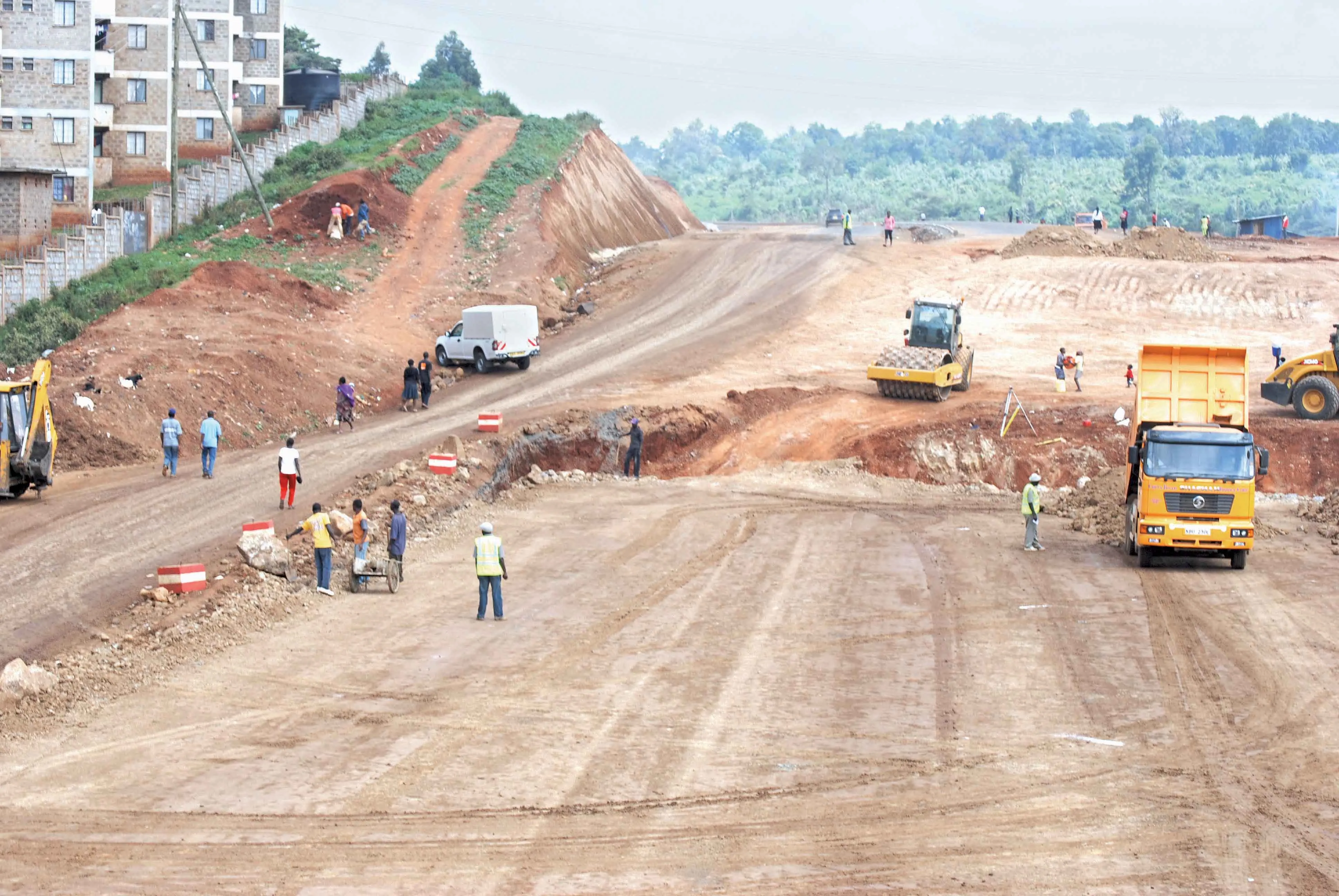
The Ugandan Government is working to improve the country’s infrastructure, with new links planned as well as a new project tackling asset management. Fugro is leading a team on a pioneering project to build a pavement and asset management system for the road network of Kampala in Uganda as part of this focus on infrastructure. The company is working with international asset management specialists from TRL and local Ugandan mapping and GIS specialist Aerophoto Systems Engineering on behalf of the client, Kam
The 1073 Ugandan Government is working to improve the country’s infrastructure, with new links planned as well as a new project tackling asset management. 6202 Fugro is leading a team on a pioneering project to build a pavement and asset management system for the road network of Kampala in Uganda as part of this focus on infrastructure. The company is working with international asset management specialists from 777 TRL and local Ugandan mapping and GIS specialist Aerophoto Systems Engineering on behalf of the client, Kampala Capital City Authority (KCCA). Surveys to map and geo-reference the 1,700km road and surface drainage networks, to build a record of highway inventory and to report pavement condition and traffic data are included under a Contract of Roads Infrastructure Inventory & Condition Assessment that spans 14 months. The GIS referenced data collection programme includes an airborne LiDAR and photography survey, and a truck-mounted road condition and asset inventory survey.
Data will be used to populate a fully featured asset management system based on TRL’s iROADS software, which includes predictive maintenance, deterioration modelling and financial forecasting functions. The project team will also work with KCCA to compile manuals of network development, road performance indicators and survey procedures to unify standards and evaluative methods for Kampala’s roads.
The project forms a key element of the strategy of developing local capacity. The pavement management system will provide a vital tool to help highway managers to target and prioritise maintenance work, while raising overall engineering performance in key areas such as road condition and traffic flow. The specialised software and data will deliver robust evidence to support KCCA funding bids to government and external investors.
Meanwhile the US74 million Kampala-Jinja Highway is one of six highways planned for upgrades by the Common Market for Eastern and Southern Africa (COMESA). The new tolled highway will form part of the Trans-African Highway and replace the old route, which does not have sufficient capacity for present traffic volumes. All six of the projects were selected by the Programme for Infrastructure Development in Africa (PIDA) and these are due for completion by 2020.