Revolutionary cable locator

Leica Geosystems says its new Leica Digicat 600i and 650i series, with Logicat software, is set to revolutionise underground cable location. The 600i and 650i, fitted with what Leica says is an innovative data capture and on-board memory function, is said to aid operations management moves to increase onsite safety by detecting cables and identifying operator training needs. Locating underground cables and pipes is said to be a simple and efficient task with the 600i and 650i series, boosting the operator’s
June 19, 2012 Read time: 2 mins
Leica Geosystems says its new Leica Digicat 600i and 650i series is set to ‘revolutionise’ underground cable location
265 Leica Geosystems says its new Leica Digicat 600i and 650i series, with Logicat software, is set to revolutionise underground cable location.

The 600i and 650i, fitted with what Leica says is an innovative data capture and on-board memory function, is said to aid operations management moves to increase onsite safety by detecting cables and identifying operator training needs. Locating underground cables and pipes is said to be a simple and efficient task with the 600i and 650i series, boosting the operator’s productivity and profitability.

The 650i is said to offer the user the same features and functionally of the 600i, with the extra benefit of service depth indication.

When using the Digicat in conjunction with the Digitex 100t or Sonde in 8 or 33 kHz modes, operators can determine the depth of the buried utility which, according to Leica, provides a clear advantage when conducting ground surveys.

The 600i and 650i locators have Bluetooth wireless connectivity, allowing the Digicat to integrate with mobile mapping technology to log survey data, in addition to enabling wireless Bluetooth data transfer. With Logicat software, calculation records can be retrieved and collated, helping to improve onsite safety and identify training needs.

For more information on companies in this article

Related Content

  • The UK Highways Agency engages Fugro for Doppler laser surveying
    January 6, 2015
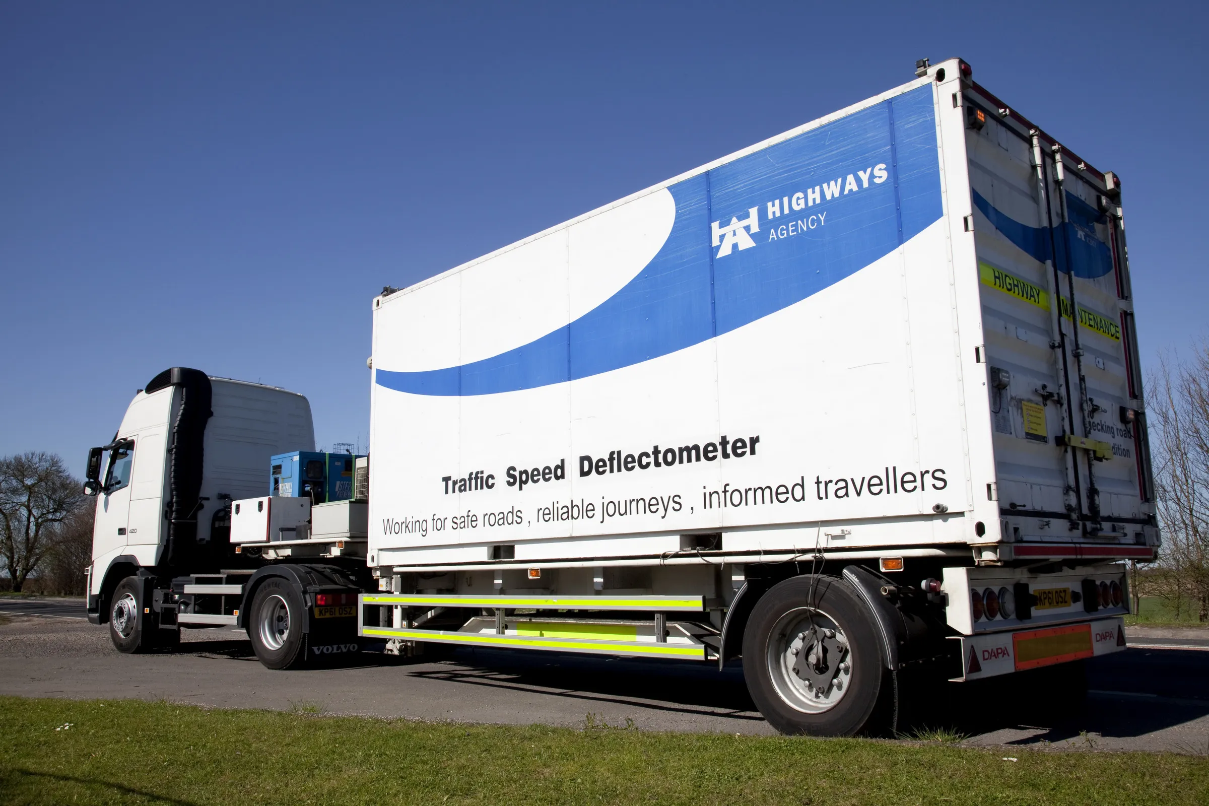
    The United Kingdom’s Highways Agency has awarded its first commercial contract to survey thousands of road lanes using sophisticated Doppler laser equipment. Fugro is driving the project forward, reports David Arminas The Highways Agency Traffic Speed Defelectometer vehicle looks like an ordinary flatbed truck delivering a similarly ordinary steel shipping container. But looks are deceiving. Inside the container is a sophisticated Doppler laser measuring system collecting pavement condition data of the U
  • Game-changing ideas that deliver daily life and continue to evolve
    December 14, 2016
    As World Highways celebrates its 25-year anniversary this month, we thought that it would be a good moment to take a step back and look at the exciting times we live and work in, and pick out a few of the game-changing new products, technologies and services that have brought about so much innovation in our industry over the past quarter of a century. Where will these new ways of thinking and working take us next? The global highways market has been transformed in the lifetime of World Highways by high-v
  • Topcon: 'next generation' technology
    February 14, 2012
    Topcon Europe Positioning has introduced its 'next-generation' field controller technology with its new FC-250, which is designed to give users increased power and performance in a rugged and compact unit.
  • Smarter software from Trimble
    May 8, 2019
    Trimble has introduced version 5.0 of Trimble Business Center. This merges two products, Trimble Business Center and Business Center - HCE, to provide surveying and civil construction customers with a complete office software solution. The combined software enables data interoperability between survey and construction workflows for more efficiency, time savings and data quality. The firm says that the package simplifies workflows and licensing for its customers, saving them time and money by providing a