Revolutionary cable locator

Leica Geosystems says its new Leica Digicat 600i and 650i series, with Logicat software, is set to revolutionise underground cable location. The 600i and 650i, fitted with what Leica says is an innovative data capture and on-board memory function, is said to aid operations management moves to increase onsite safety by detecting cables and identifying operator training needs. Locating underground cables and pipes is said to be a simple and efficient task with the 600i and 650i series, boosting the operator’s
June 19, 2012 Read time: 2 mins
Leica Geosystems says its new Leica Digicat 600i and 650i series is set to ‘revolutionise’ underground cable location
265 Leica Geosystems says its new Leica Digicat 600i and 650i series, with Logicat software, is set to revolutionise underground cable location.

The 600i and 650i, fitted with what Leica says is an innovative data capture and on-board memory function, is said to aid operations management moves to increase onsite safety by detecting cables and identifying operator training needs. Locating underground cables and pipes is said to be a simple and efficient task with the 600i and 650i series, boosting the operator’s productivity and profitability.

The 650i is said to offer the user the same features and functionally of the 600i, with the extra benefit of service depth indication.

When using the Digicat in conjunction with the Digitex 100t or Sonde in 8 or 33 kHz modes, operators can determine the depth of the buried utility which, according to Leica, provides a clear advantage when conducting ground surveys.

The 600i and 650i locators have Bluetooth wireless connectivity, allowing the Digicat to integrate with mobile mapping technology to log survey data, in addition to enabling wireless Bluetooth data transfer. With Logicat software, calculation records can be retrieved and collated, helping to improve onsite safety and identify training needs.

For more information on companies in this article

Related Content

  • GPS delivers accurate real time depth control
    July 13, 2012
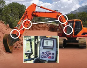
    The novel EZ Dig Pro system offers real-time depth control for excavators and backhoe loaders. This package is said to provide precise grade control for digging a fixed depth or a slope and it boosts safety as there is no need for anyone going into the excavation to check depth. Applications include use in trenching and drainage ditches along roadways, as well as footings and foundation depths and cut-and-cover applications for a fixed depth for utilities.
  • Bentley Systems launches OpenRoads Designer CONNECT Edition
    April 13, 2017
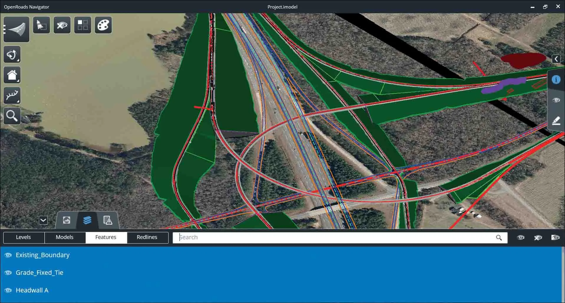
    The beginning of this year saw Bentley Systems launch a major advanced comprehensive global tool for today’s increasingly widespread BIM environment. Christmas 2016 came early for Bentley's global clients. In fact, they had a hint of what was going to be under their tree come the celebrations in December. On November 1, at Bentley’s annual global client gathering and awards event Year in Infrastructure Conference in London, the solutions provider announced that OpenRoads Designer CONNECT Edition would be a
  • Plantworx 2013 focus on latest safety technology for worksite vehicles
    November 28, 2012
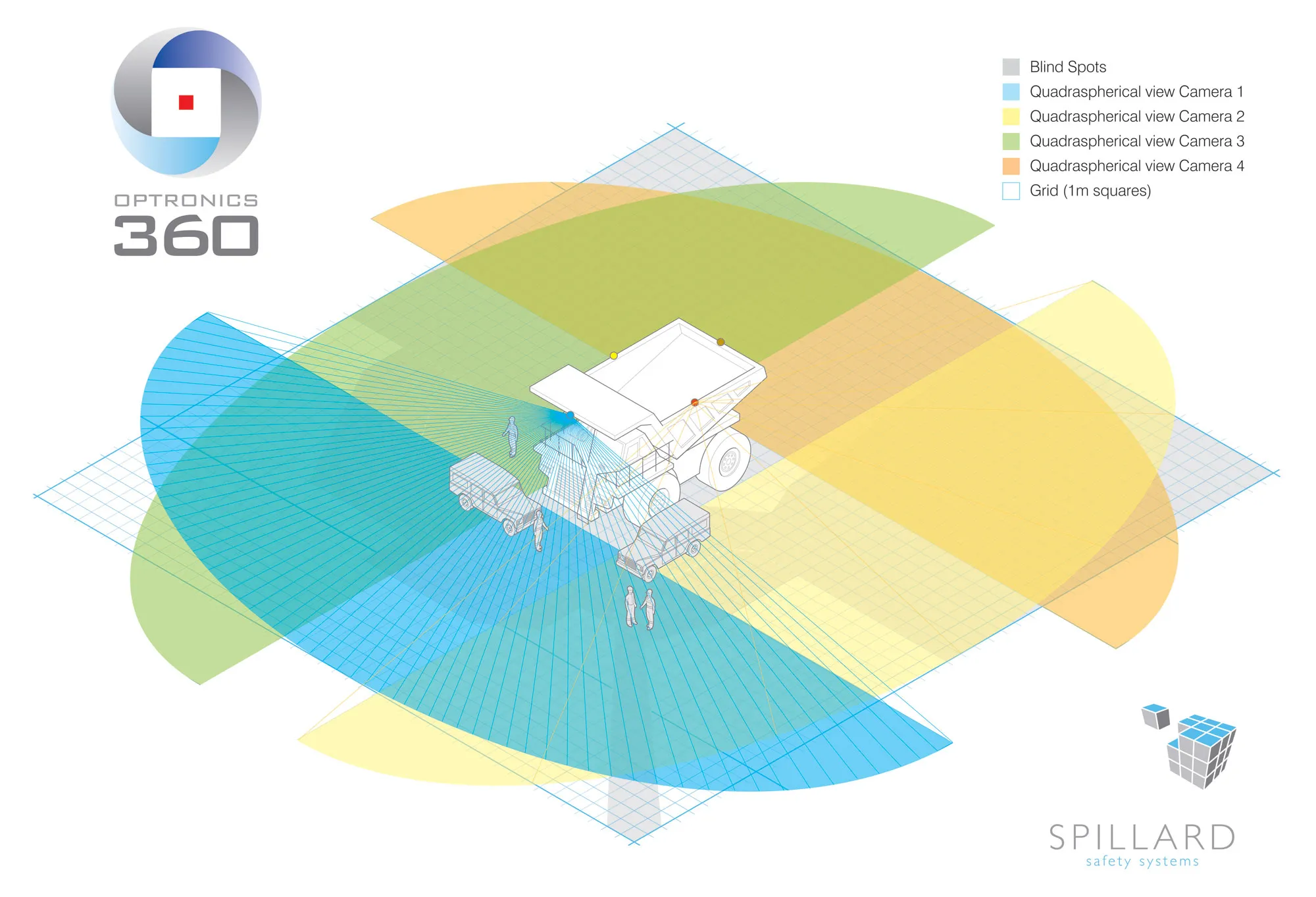
    Plantworx 2013 will showcase the latest worksite vehicle safety systems. GKD Technik’s (GKD) Incline Alert system will be among those featured at the UK’s largest construction show, spanning 100,000m², being held at Stoneleigh Park, Coventry Warwickshire on 16 May, 2013. The system is said by GKD to have been developed to meet a need for incline monitoring in the construction and utility maintenance industries, particularly for smaller excavators, which carry a higher risk of overturning when operating on i
  • Wirtgen F-Series Compact Milling Machines for Cost Efficient and Sustainable Cold Milling
    August 1, 2022
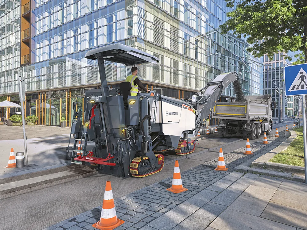
    The W 100 Fi Spearheads the New Machine Generation at Bauma 2022