Revolutionary cable locator

Leica Geosystems says its new Leica Digicat 600i and 650i series, with Logicat software, is set to revolutionise underground cable location. The 600i and 650i, fitted with what Leica says is an innovative data capture and on-board memory function, is said to aid operations management moves to increase onsite safety by detecting cables and identifying operator training needs. Locating underground cables and pipes is said to be a simple and efficient task with the 600i and 650i series, boosting the operator’s
June 19, 2012 Read time: 2 mins
Leica Geosystems says its new Leica Digicat 600i and 650i series is set to ‘revolutionise’ underground cable location
265 Leica Geosystems says its new Leica Digicat 600i and 650i series, with Logicat software, is set to revolutionise underground cable location.

The 600i and 650i, fitted with what Leica says is an innovative data capture and on-board memory function, is said to aid operations management moves to increase onsite safety by detecting cables and identifying operator training needs. Locating underground cables and pipes is said to be a simple and efficient task with the 600i and 650i series, boosting the operator’s productivity and profitability.

The 650i is said to offer the user the same features and functionally of the 600i, with the extra benefit of service depth indication.

When using the Digicat in conjunction with the Digitex 100t or Sonde in 8 or 33 kHz modes, operators can determine the depth of the buried utility which, according to Leica, provides a clear advantage when conducting ground surveys.

The 600i and 650i locators have Bluetooth wireless connectivity, allowing the Digicat to integrate with mobile mapping technology to log survey data, in addition to enabling wireless Bluetooth data transfer. With Logicat software, calculation records can be retrieved and collated, helping to improve onsite safety and identify training needs.

For more information on companies in this article

Related Content

  • The use of concrete cutting tools and tips for users
    October 8, 2015
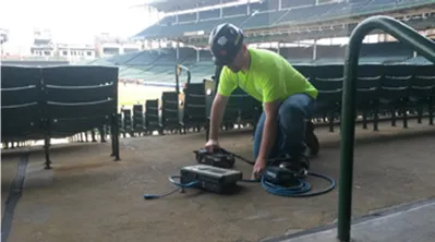
    Despite the proven importance of identifying metal targets and electrical lines before cutting into concrete, every day there are stories about mishaps that happen when the necessary reconnaissance is not done. In this article, a few firms that provide concrete scanning services weigh in on the critical importance of locating embedded and or buried obstructions by scanning for these features using ground penetrating radar (GPR). Also offered are tips for selecting the best GPR equipment and best practices f
  • Intercomp adds Bluetooth to wireless indicators
    September 30, 2020
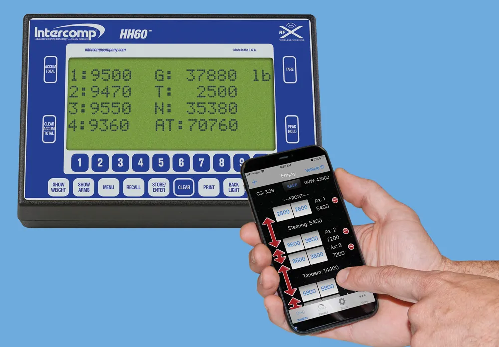
    Intercomp has added Bluetooth to its HH60 RFX Wireless Indicators to communication weight data to Apple mobile devices using the free apps iVehicleWeigh or iExactWeigh.
  • GPS machine control improves construction accuracy
    February 29, 2012
    The latest GPS systems will improve the accuracy of many construction operations. Mike Woof reports. The pace of technological advancement is fast in the GPS market. Despite a market downturn, the GPS solution providers continue to invest in research and development. And there is evidence to suggest that the contracting sector is more keen than ever to employ the latest technology because of the cost benefits this can bring.
  • Trimble Dimensions 2012 exhibits revolutionising construction technology
    December 14, 2012
    More than 3,500 visitors from 80 countries attending Trimble Dimensions 2012 gained a vital insight into how information technology is revolutionising working practises in, among other fields, heavy civil construction, building construction, surveying, mapping and GIS, and transport and logistics Guy Woodford was among those attending the three-day event at The Mirage hotel in Las Vegas, USA Themed Transform the Way the World Works, Trimble Dimensions 2012 had new hardware and software launches aplenty, as