Revolutionary cable locator

Leica Geosystems says its new Leica Digicat 600i and 650i series, with Logicat software, is set to revolutionise underground cable location. The 600i and 650i, fitted with what Leica says is an innovative data capture and on-board memory function, is said to aid operations management moves to increase onsite safety by detecting cables and identifying operator training needs. Locating underground cables and pipes is said to be a simple and efficient task with the 600i and 650i series, boosting the operator’s
June 19, 2012 Read time: 2 mins
Leica Geosystems says its new Leica Digicat 600i and 650i series is set to ‘revolutionise’ underground cable location
265 Leica Geosystems says its new Leica Digicat 600i and 650i series, with Logicat software, is set to revolutionise underground cable location.

The 600i and 650i, fitted with what Leica says is an innovative data capture and on-board memory function, is said to aid operations management moves to increase onsite safety by detecting cables and identifying operator training needs. Locating underground cables and pipes is said to be a simple and efficient task with the 600i and 650i series, boosting the operator’s productivity and profitability.

The 650i is said to offer the user the same features and functionally of the 600i, with the extra benefit of service depth indication.

When using the Digicat in conjunction with the Digitex 100t or Sonde in 8 or 33 kHz modes, operators can determine the depth of the buried utility which, according to Leica, provides a clear advantage when conducting ground surveys.

The 600i and 650i locators have Bluetooth wireless connectivity, allowing the Digicat to integrate with mobile mapping technology to log survey data, in addition to enabling wireless Bluetooth data transfer. With Logicat software, calculation records can be retrieved and collated, helping to improve onsite safety and identify training needs.

For more information on companies in this article

Related Content

  • PTV software for CycleRAP pilot project
    June 14, 2023
    The latest technology of PTV’s Model2Go and PTV Visum will be used to create a model of the city generated by using OpenStreetMap data for a detailed urban bicycle network configuration.
  • New ice detection technology for motorists
    January 23, 2013
    A new technology developed by the VTT Technical Research Centre of Finland provides drivers with warnings of black ice on the roads. This automatic detection system will warn a driver in advance that a road is dangerous due to the presence of ice. According to VTT, this uses a novel, real-time method of obtaining information on road surface friction and employs data collected from the car’s in-built sensors. This compares the speeds of the drive shafts and axles in an array of driving conditions, with an al
  • Introducing easy to use acoustic leak detection
    February 14, 2012
    Pipe and cable detector specialist Radiodetection is widening its product range with the introduction of a new line of leak detectors. The new acoustic leak detectors are said to be easy-to-use, affordable and portable and can be used along with the proven RD7000+ and RD8000 range of cable and pipe locators. The new RD52x family of wireless noise loggers can be used to monitor extensive and complex water networks, without the need for digging up roads. The units combine the latest digital and acoustic techn
  • Underground sight
    September 3, 2012
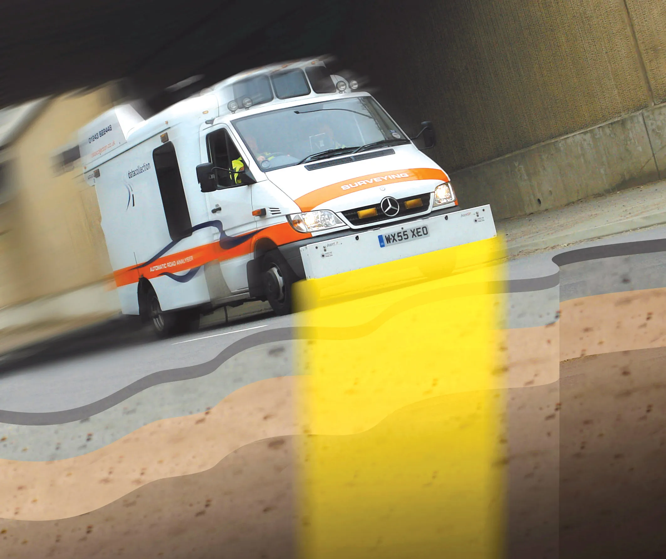
    Innovative mobile radar technology that can detect subsurface problems is now being launched by surveying specialist Data Collection Limited. The system uses a specially designed vehicle to carry out surveys at normal traffic speeds. Ground-penetrating radar is used to generate a cross-sectional profile of the subsurface. This information can be used to assess road condition, helping with planning repairs and re-surfacing.