Revolutionary cable locator

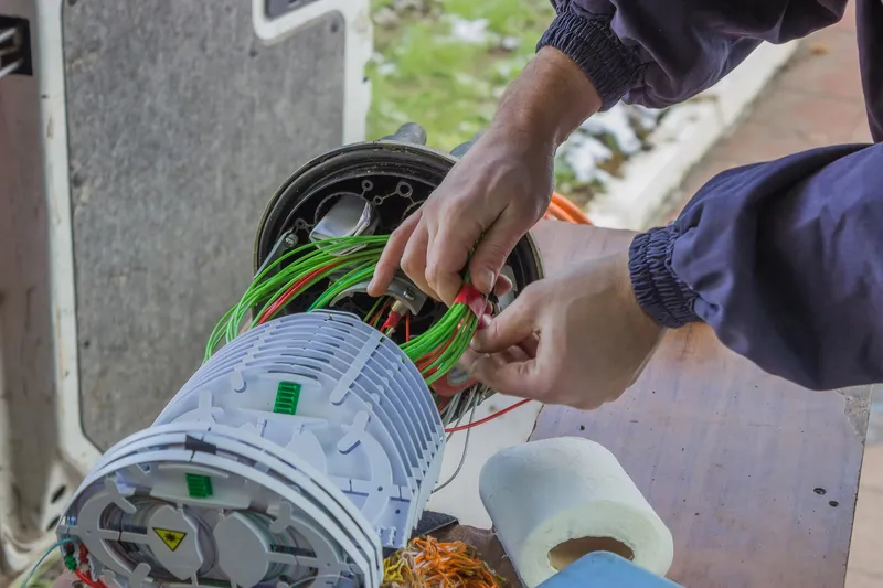
Leica Geosystems says its new Leica Digicat 600i and 650i series, with Logicat software, is set to revolutionise underground cable location. The 600i and 650i, fitted with what Leica says is an innovative data capture and on-board memory function, is said to aid operations management moves to increase onsite safety by detecting cables and identifying operator training needs. Locating underground cables and pipes is said to be a simple and efficient task with the 600i and 650i series, boosting the operator’s
June 19, 2012 Read time: 2 mins
Leica Geosystems says its new Leica Digicat 600i and 650i series is set to ‘revolutionise’ underground cable location
265 Leica Geosystems says its new Leica Digicat 600i and 650i series, with Logicat software, is set to revolutionise underground cable location.

The 600i and 650i, fitted with what Leica says is an innovative data capture and on-board memory function, is said to aid operations management moves to increase onsite safety by detecting cables and identifying operator training needs. Locating underground cables and pipes is said to be a simple and efficient task with the 600i and 650i series, boosting the operator’s productivity and profitability.

The 650i is said to offer the user the same features and functionally of the 600i, with the extra benefit of service depth indication.

When using the Digicat in conjunction with the Digitex 100t or Sonde in 8 or 33 kHz modes, operators can determine the depth of the buried utility which, according to Leica, provides a clear advantage when conducting ground surveys.

The 600i and 650i locators have Bluetooth wireless connectivity, allowing the Digicat to integrate with mobile mapping technology to log survey data, in addition to enabling wireless Bluetooth data transfer. With Logicat software, calculation records can be retrieved and collated, helping to improve onsite safety and identify training needs.

For more information on companies in this article

Related Content

  • SequoIA to use DAS for traffic management
    January 19, 2024
    SequoIA Analytics, a startup company within France’s Inria - National Research Institute for Digital Science and Technology – is using fibre-optic cable to provide better traffic data.
  • SECMAIR’s advanced chipsealer solution
    March 7, 2018
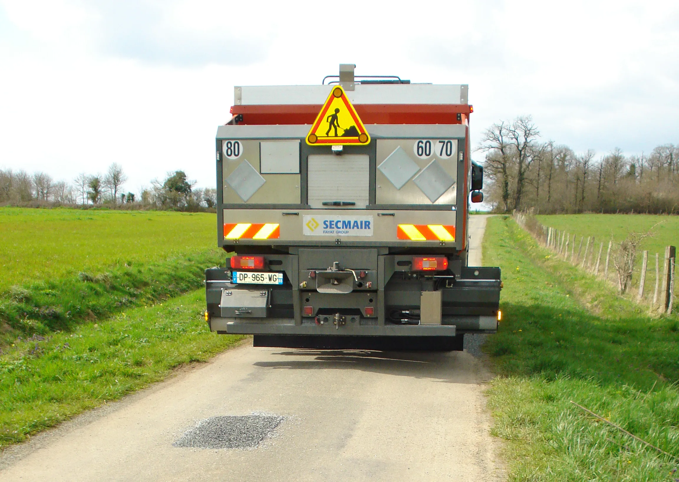
    SECMAIR is introducing an innovative Chipsealer machine that can improve the efficiency and safety of road repair jobs. The SECMAIR CT360 Chipsealer benefits from the firm’s novel laser scanning system to detect potholes and cracks in the road. The system is mounted at the front of the truck and scans back and forward continuously, providing accurate detection of road surface faults. The laser scanning forms part of the firm’s E TRAXX technology, which is said to offer full traceability for road maintenance
  • Advances in concrete paving technology will increase efficiency
    July 1, 2014
    New developments in concrete paving will increase working efficiency for contractors - Mike Woof writes The concrete paving market is a fiercely competitive segment of the off-highway construction machinery business. Although there are only a few key players in this niche market, the firms are constantly developing new systems, equipment and methods in a bid to help improve working efficiencies for contractors working in the sector. It is of note that the majority of the key players in the concrete pavin
  • Field use solutions from mixed-reality
    May 22, 2018
    Trimble is now offering its Connect for HoloLens tool as well as a new hard hat solution for Microsoft HoloLens. According to the firm, the new package improves the utility of mixed-reality for practical field applications. “With the rise in acceptance for mixed-reality solutions in business today, the need for 3D visualisation outside the office is driving this next wave of Trimble innovation," said Aviad Almagor, director of Trimble's Mixed-Reality Program. “We are expanding the opportunities for implemen